Opis
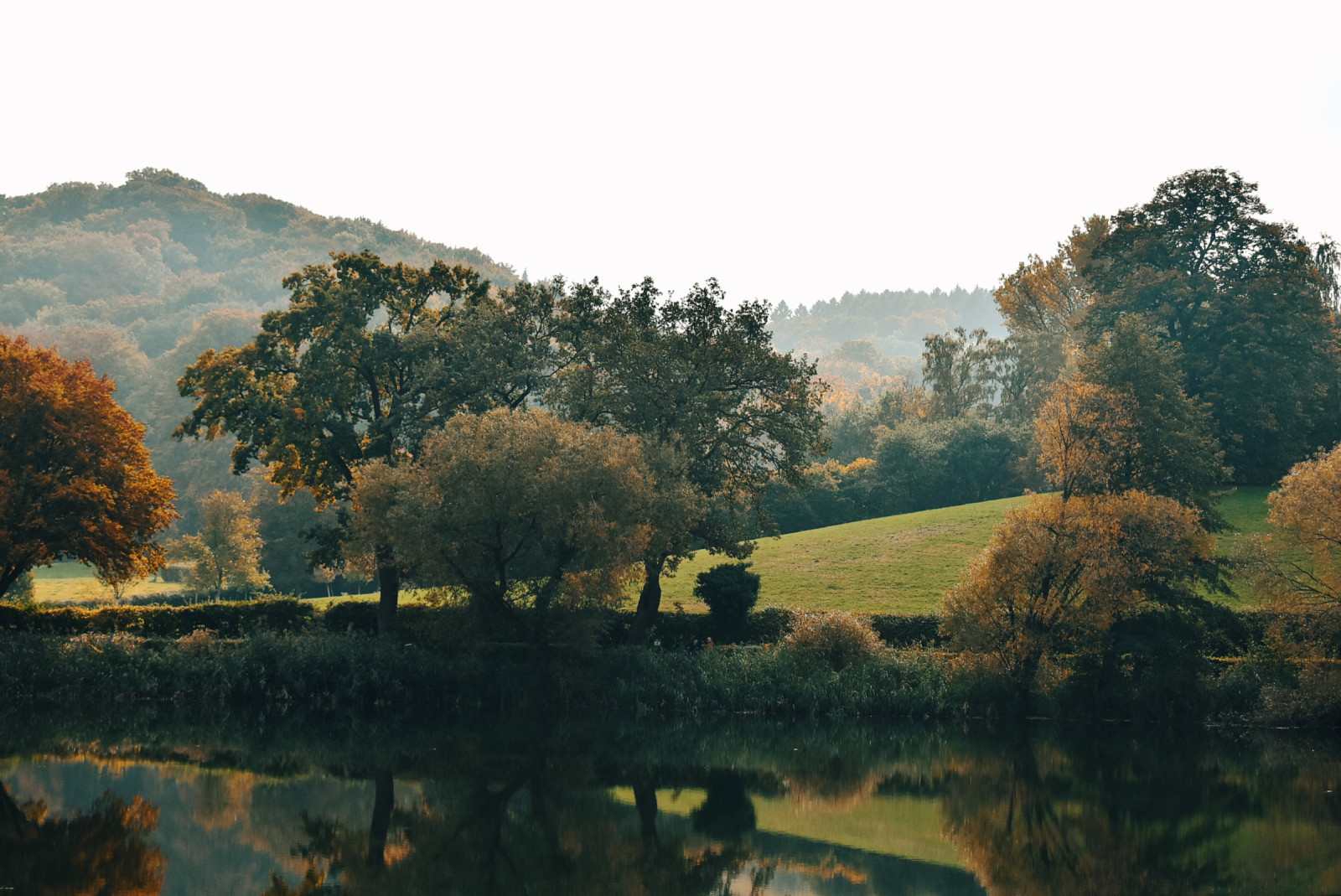
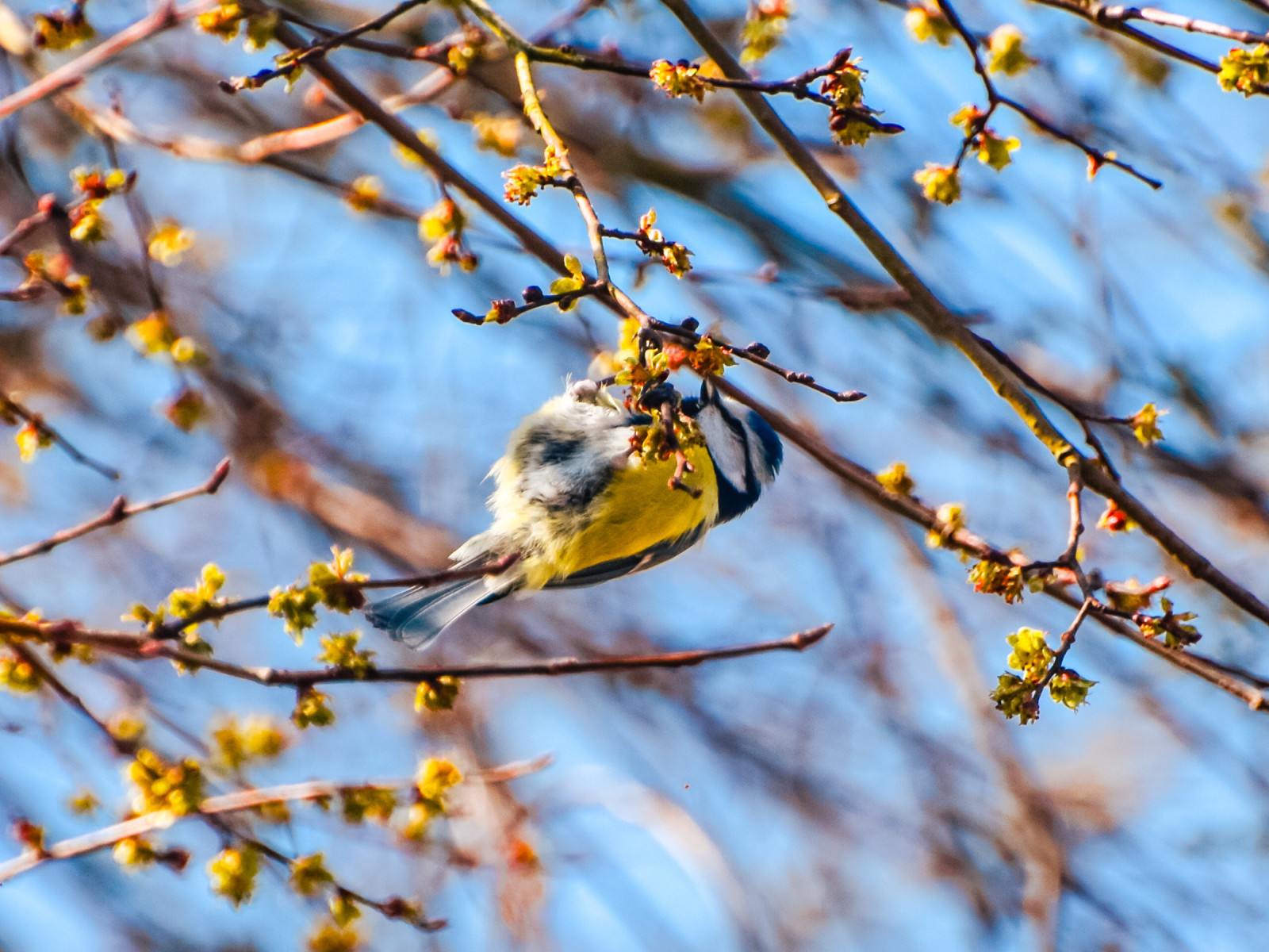
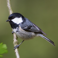
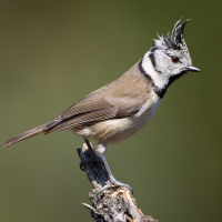
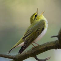
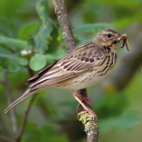
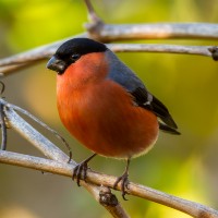
The Aachener Wald is a mixed forest that supports numerous species, especially birds. Depending on your location, you can find open grassy areas alongside the wooded sections. Generally, you can find many tits. You'll most often hear the calls of modraszka, bogatka (zwyczajna) and sosnówka. With a bit of luck, you might also find czubatka. You'll also frequently hear mysikrólik and zniczek. The open landscapes provide a habitat for świergotek drzewny and myszołów, as well as numerous insect species.
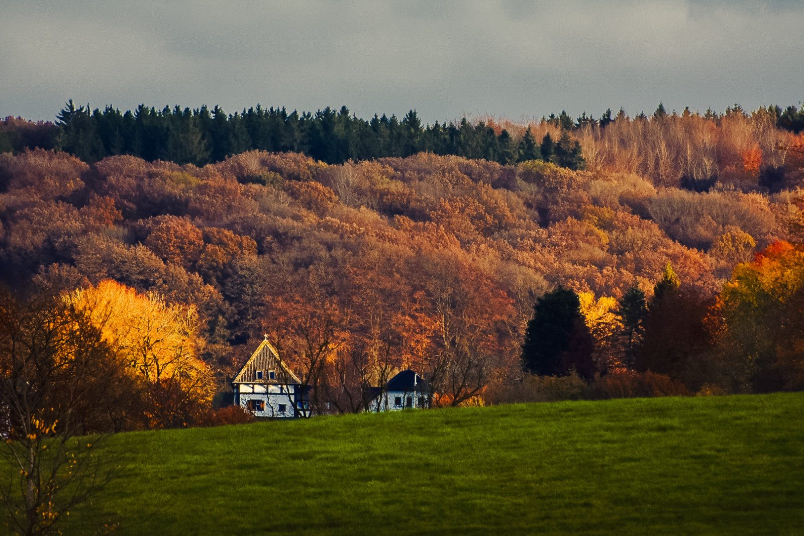
The forest extends beyond Germany. Upon reaching the Netherlands, you'll find yourself at the highest point in the country. The nearest Dutch town is Vaals. Belgium is also easily accessible, particularly the towns of Gemmenich and Kelmis. Between the countries lies the tripoint, surrounded by forest and offering many recreational opportunities.
Szczegóły
Dostęp
The Aachener Wald is located south of the city of Aachen on the border of Belgium and The Netherlands. Aachen Central Station offers a good network of both regional and long-distance train services. Within Germany, the city is easily and quickly accessible by regional train from Krefeld, Mönchengladbach, Düsseldorf, Stolberg, Herzogenrath, and Cologne. The RE18 line also connects Liège and Maastricht. Numerous bus lines also serve the station. Lines 2 and 24 run regularly in Preuswald and Kelmis. For those coming from the direction of Eupen/Diepenbenden, lines 14, 34, and 52 are available.
Good cycle paths have been created near the forest. The area is best explored on foot or by bicycle. However, the hilly terrain could present a challenge. Parking for cars is available at various locations. Parking for cars is available at various locations. For example, there are parking lots at the tripoint of the Netherlands, Germany, and Belgium. Press a P on the map for directions.
The circular route shown on the map is approximately 18 km, but can easily be shortened.
 ) aby wstawić nazwy ptaków w swoim języku ojczystym. Nazwy ptaków zostaną automatycznie przetłumaczone dla innych użytkowników!