Opis
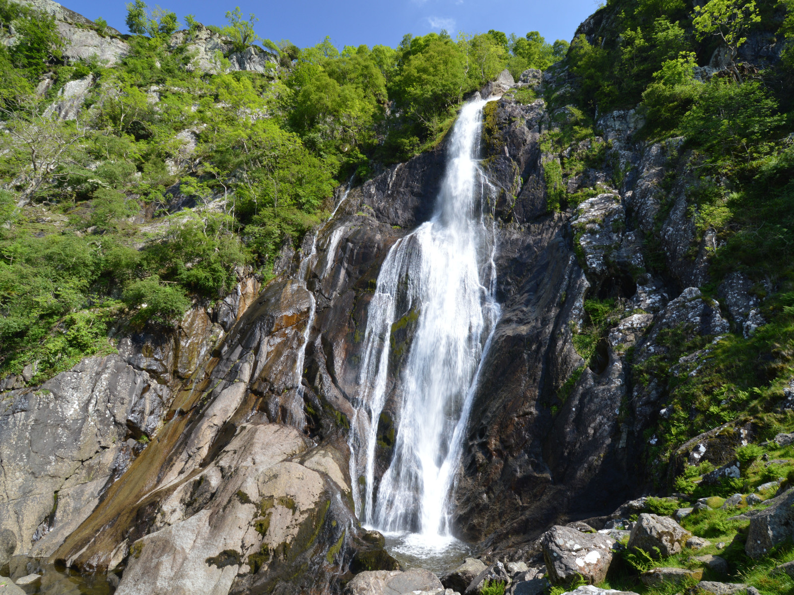
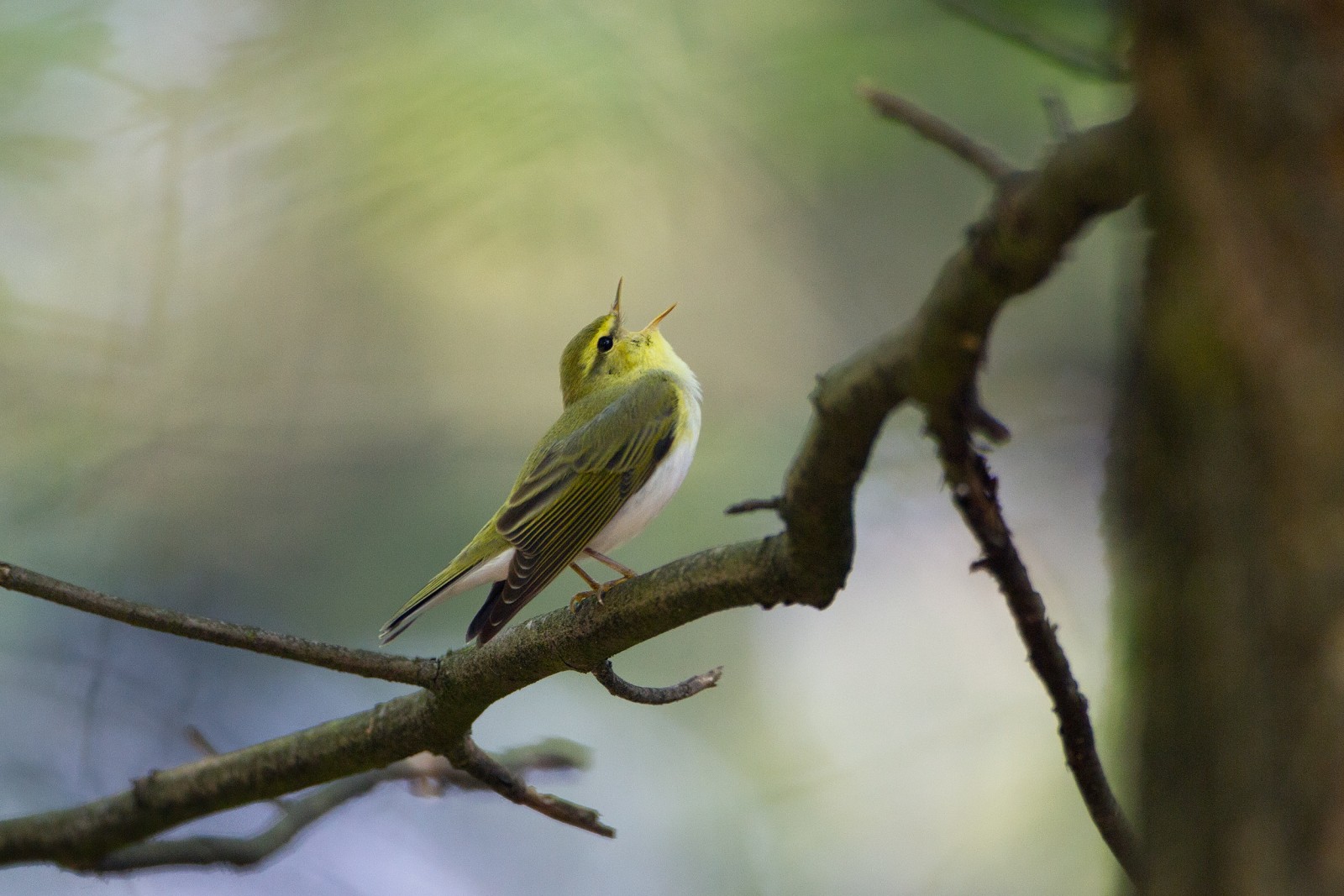
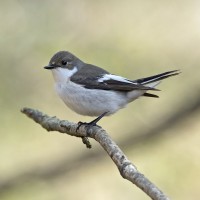
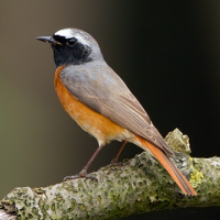
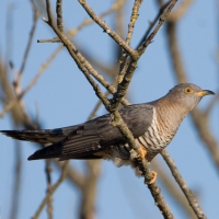
Aber Falls is located in one of the northernmost of Wales' classic hill valley woodlands. Easily accessible from the university city of Bangor and the North Wales coastal road. The semi-natural to natural woods of Oak, Ash, Alder, and Hawthorn are excellent breeding habitat for the four classical upland broadleaf woodland birds, muchołówka żałobna, pleszka, świergotek drzewny and świstunka leśna, as well as resident species like dzięcioł zielony and paszkot. The river below the Falls, the Afon Goch, has pluszcz, pliszka górska and brodziec piskliwy. Around the cliffs beside the Falls, scan for drozd obrożny in spring and summer, and on the screes, pokląskwa, kląskawka and białorzytka. The area is bleak in winter, but flocks of droździk and kwiczoł can be seen in the open ground, and czyż and czeczotka brazowa feeding on seeds in the Alders and Birches.
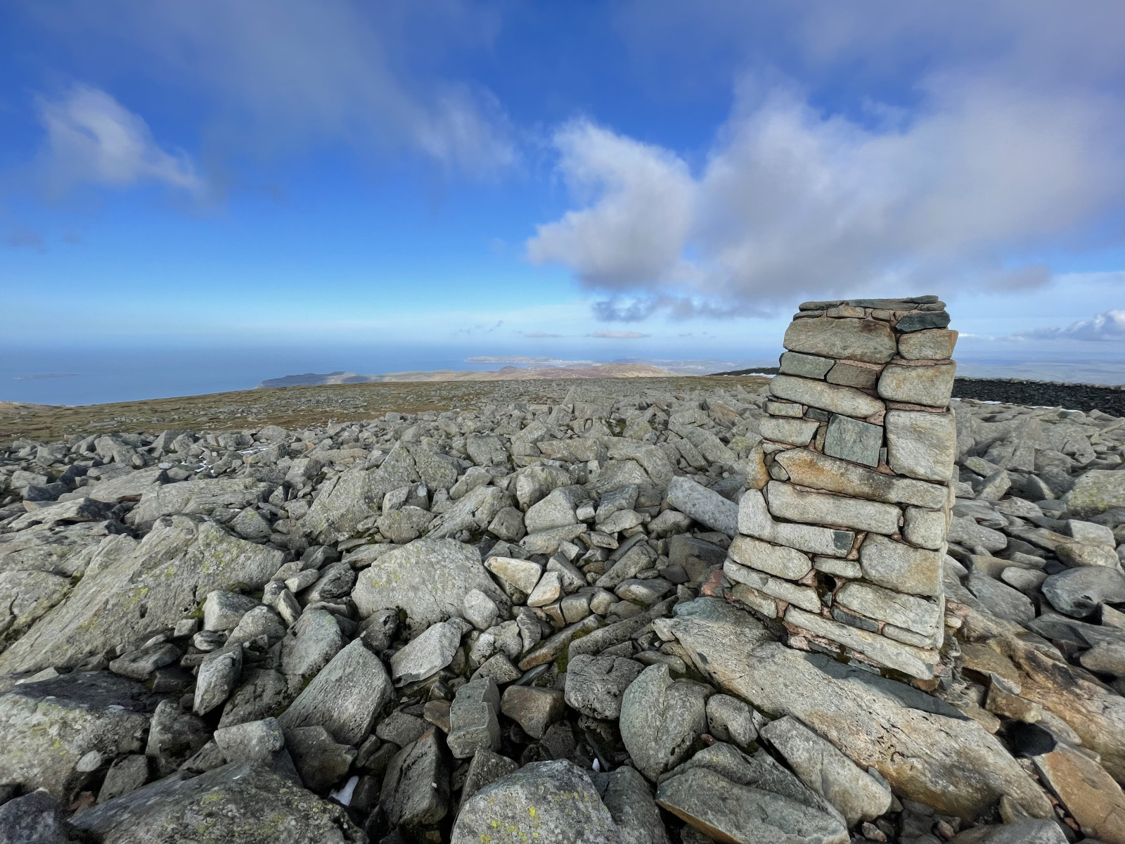
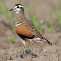
A longer, strenuous option is to continue to the southeast of the falls; climb up the side of the former plantation to the northeast of the Falls, then cut straight up the open moor to Llwytmor (849 m) and on to Foel-fras (944 m) and Foel Grach (974 m), or even to Carnedd Llewelyn (1,064 m). Birds up here are few, but kruk is reliable, sokół wędrowny regular, wronczyk occasional, and in mid to late May, spring passage mornel are frequently seen on the barren high tops. Be careful when descending to follow a safe path, don't try climbing down the cliffs beside Aber Falls!
Szczegóły
Dostęp
Take the bus from Bangor to Llanfairfechan (and beyond), alight at Abergwyngregyn and walk from there; alternatively, cycling from either Bangor (10 km) or Llanfairfechan (4 km) rail stations. For cars, see the P sign on the map for directions.
Teren i siedlisko
Las , Góry , Kanion/klif , Rzadkie drzewa i krzewy , Łąka , Płaskowyż , Dolina , RzekaWarunki
Górzysty , Bagienny , Pagórkowaty , Skalisty , Otwarty krajobraz , ŚliskoTrasa dookoła
TakCzy luneta będzie przydatna ?
NieUdany sezon obserwacyjny
Wiosna , LatoNajlepszy czas na wizytę
Wiosna , LatoTrasa
Szeroka ścieżka , Droga nieutwardzona , Wąski szlakPoziom trudności szlaku pieszego
Średnio wymagający spacerDostępne
Pieszo , Rower , SamochódCzatownia/platforma obserwacyjna
NieDodatkowe informacje
Note that the mountain option should only be attempted during good weather (dry, with cloud base reliably above 1,500 m). With low cloud and rain - frequent at any time of the year - the moors become very dangerous, as it is easy to get lost and fall down any of the many crags. Make sure you are equipped for heavy rain at any time - this is a temperate rainforest area! In winter, deep snow can be expected above 300-400 m; do not attempt the mountains in this without good mountaineering experience!
Photo of Aber Falls by Clive Giddis, cc-by-sa license, from geograph.org.uk (photo 4006020).
 ) aby wstawić nazwy ptaków w swoim języku ojczystym. Nazwy ptaków zostaną automatycznie przetłumaczone dla innych użytkowników!