Opis
Calstock Wetland, or more correctly called The River Tamar Walkway and Wetland Project, has been 15 years in the planning, the project is due to be completed by the end of 2021. Here the River Tamar is in a Area of Outstanding Natural Beauty (AONB), the area was once heavily industrialised by copper/arsenic/tin mines and latterly was a major fruit and flower growing area, each Spring you can still see flowering Daffodils (Narcissus). At Calstock low grade farmland and low lying parts of the village was protected from high tide by a high embankment. It was decided to dig out 'scrapes' and construct other embankments further inland to protect the water treatment works on the Eastern end and Football/Community Events Fields at the Western end, it was also decided to make a 'breach' in the original embankment, thus returning the area to saltmarsh/reedbeds, much as it was before the Victorian age. The footpath along the original embankment (part of The Tamar Valley Discovery Trail) will remain with a wooden boardwalk/bridge over the 'breach'.
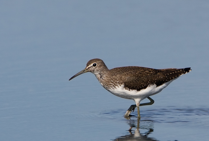
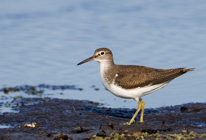
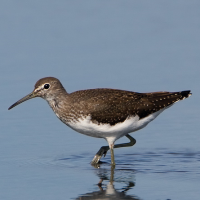
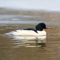
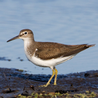
Since the start of the project birds have already started to take advantage of the site with samotnik and sieweczka rzeczna sightings, the main part of the Tamar Estuary Complex is only 5 miles downstream of the site, so hopefully further interesting species will take advantage of this new reserve.
Szczegóły
Dostęp
The A390 passes East to West just to the North of Calstock, look for road sign to Calstock on the Western outskirts of the village of Gunnislake.
Calstock has a railway station (trains run every 2 hours) on the Plymouth to Gunnislake branch line, the reserve is a short walk downhill from the station.
You can also travel to Calstock by boat, Plymouth Boat Cruises offer 5 hour cruises to Calstock April-October depending on high tide times, unfortunately you only get 1 hour ashore in Calstock.
The Car Park at Calstock Village Hall is FREE as of November 2021, but it is possible this may change to FEE PAYABLE IN THE FUTURE.
Teren i siedlisko
Las , Tereny podmokłe , Błota , Łąka , Dolina , Rzeka , Trzcinowiska , Miasto/wieśWarunki
Płaski , Bagienny , Możliwy wysoki poziom wody , ŚliskoTrasa dookoła
TakCzy luneta będzie przydatna ?
TakUdany sezon obserwacyjny
Przez cały rokNajlepszy czas na wizytę
Zima , Wiosna , Jesień , Wiosenne migracje , Jesienne migracjeTrasa
Droga utwardzona , Szeroka ścieżka , Wąski szlakPoziom trudności szlaku pieszego
ŁatwyDostępne
Pieszo , Rower , SamochódCzatownia/platforma obserwacyjna
NieDodatkowe informacje
Two other wetland restoration projects are ongoing in the area nearby, one at Cotehele Quay and one at South Hooe further downstream, press STARS on map for locations.
 ) aby wstawić nazwy ptaków w swoim języku ojczystym. Nazwy ptaków zostaną automatycznie przetłumaczone dla innych użytkowników!