Opis
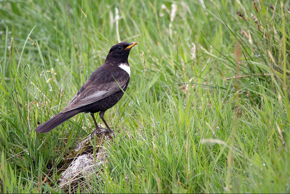
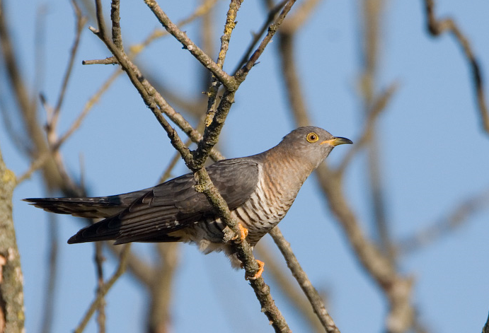
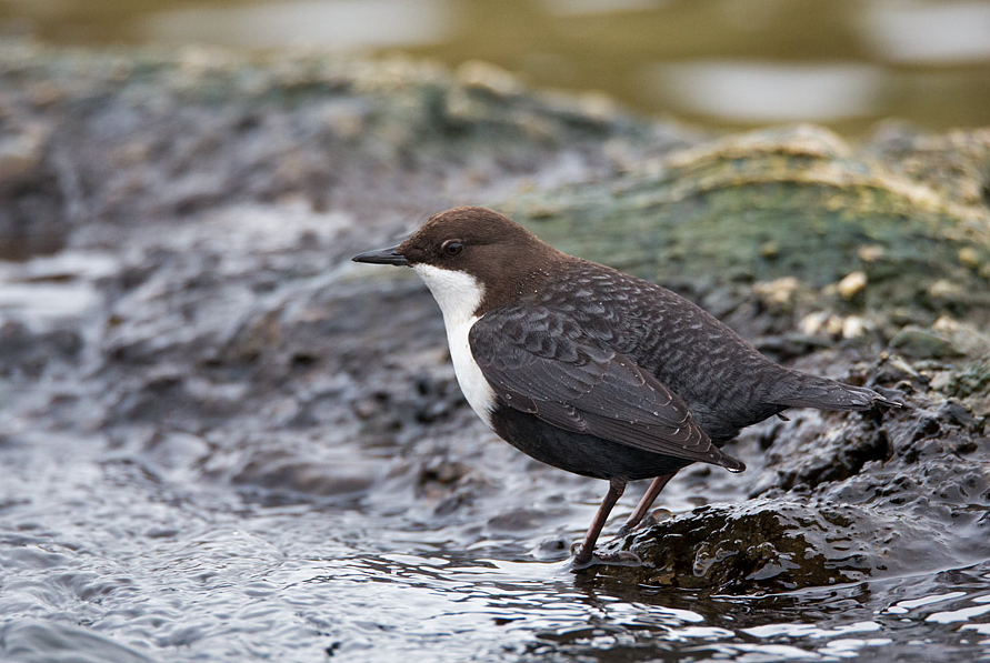
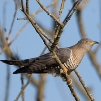
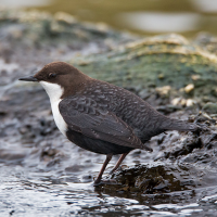
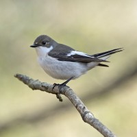
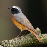
Haweswater is a RSPB managed site owned by water company United Utilities. It stretches across 30 sq km of rushing streams, ancient oak woodland, valley mires, wildflower meadows and dramatic mountains in the Eastern Lake District National Park. It is home to muchołówka żałobna, pleszka, pluszcz, kukułka, białorzytka, drozd obrożny, sokół wędrowny, świstunka leśna, świergotek drzewny, brodziec piskliwy, kszyk, pokląskwa, myszołów, kruk, kląskawka, puszczyk zwyczajny, dzięcioł zielony, kowalik, czeczotka brazowa, czyż, nurogęś and mewa pospolita. Until a few years ago, it was also home to orzeł przedni, and there is the hope that some day they may return.
Szczegóły
Dostęp
A car park is situated at Mardale Head at the top of Haweswater reservoir and it is open at all times. A donation cairn, to support the RSPB’s work at Haweswater, is situated in the car park, with a suggested donation of £2. Please note that only cash donations can be made in the cairn as the lack of mobile phone reception means card payments aren't possible. The grid reference for this car park is NY469108. Click on the P in the map for directions or coordinates.
Haweswater’s rugged landscape can be discovered through a variety of hiking trails. On the map is shown a 16 km circular walk around the reservoir, but there are many other options. Haweswater does not have a visitor centre, public toilets, public hides or a cafe. Please also bear in mind that the upland landscape here is incredibly steep and rugged, with very uneven terrain, so the paths can be demanding.
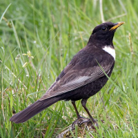
For a more strenuous but very rewarding option, hike up the Long Stile ridge to High Street - at 828 m altitude, the highest High Street in Britain by far, and the only one with no shops (!!) - and then walk north along this ancient Roman road, and back down via Kidsty Pike. As well as superb views, the flat, open top here can attract mornel on spring passage in May, and the crags on the way up are excellent for drozd obrożny.
Teren i siedlisko
Las , Góry , Dolina , Wrzosowisko , Rolnictwo/uprawy , Rzeka , Łąka , Rzadkie drzewa i krzewy , JezioroWarunki
Górzysty , Otwarty krajobraz , Możliwy wysoki poziom wody , Skalisty , Pagórkowaty , BagiennyTrasa dookoła
TakCzy luneta będzie przydatna ?
Może być przydatnaUdany sezon obserwacyjny
Wiosna , LatoNajlepszy czas na wizytę
WiosnaTrasa
Wąski szlak , Droga nieutwardzonaPoziom trudności szlaku pieszego
ForsownyDostępne
Samochód , PieszoCzatownia/platforma obserwacyjna
NieDodatkowe informacje
Since 2012, the RSPB has been running two farms to showcase how sustainable farming can work hand-in-hand with conservation to benefit wildlife, water and people. To keep the landscape rich and healthy, RSPB ensures the right levels of grazing by cattle, sheep and ponies. Trees and alpine flowers are grown from local seed in the on-site nursery, then planted out onto the fells to help restore a diverse mosaic of habitats.
 ) aby wstawić nazwy ptaków w swoim języku ojczystym. Nazwy ptaków zostaną automatycznie przetłumaczone dla innych użytkowników!