Opis
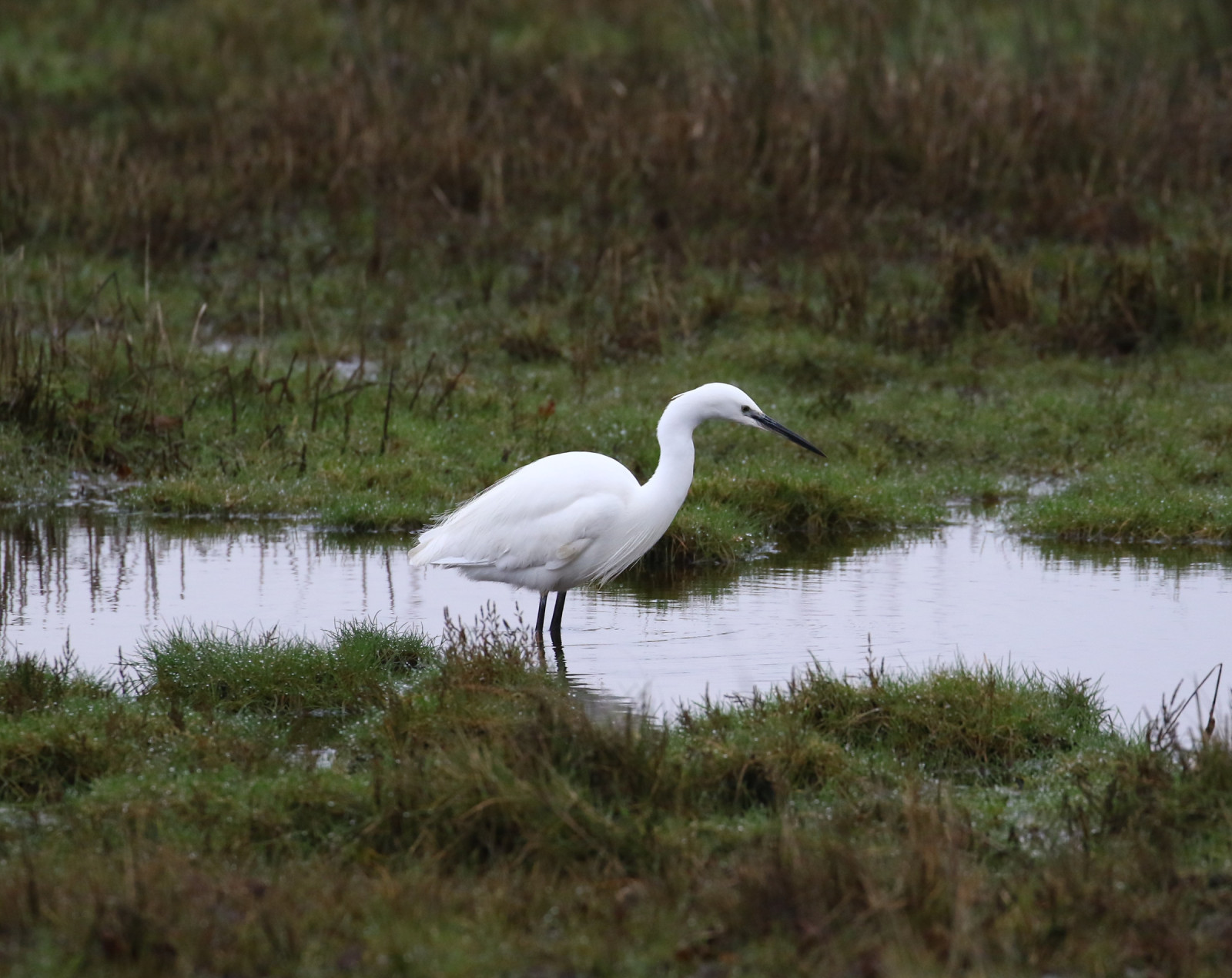
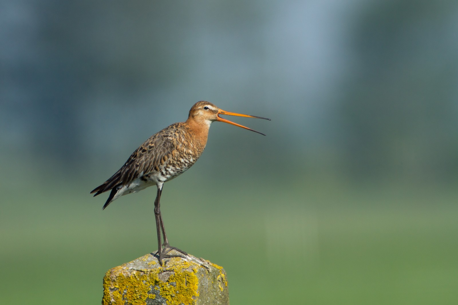
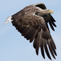
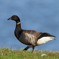
Middlebere Peninsula was only visited by local birdwatchers for many years and stood in the shadow of Arne RSPB reserve (see separate entry), but today with an increasing list of birds more birdwatchers are catching on to how good this site is. The peninsula extends Eastwards into Poole Harbour, with Middlebere Lake to the North and Wych Lake to the South (note Lake in this instance is an estuary). Many of the birds species found at Arne are also found at Middlebere, with the added bonus the Avocet hide has the sun behind you, depending on season błotniak zbożowy, błotniak stawowy, płomykówka (zwyczajna), drzemlik, krogulec, myszołów, pustułka (zwyczajna), sokół wędrowny, warzęcha, szablodziób, ostrygojad, siewnica, biegus zmienny, rycyk, szlamnik, kulik wielki, krwawodziób, kszyk, biegus rdzawy, kwokacz, bernikla obrożna, ohar, świstun, cyraneczka, Płaskonos, szlachar, czapla nadobna, czapla siwa, wodnik (zwyczajny).
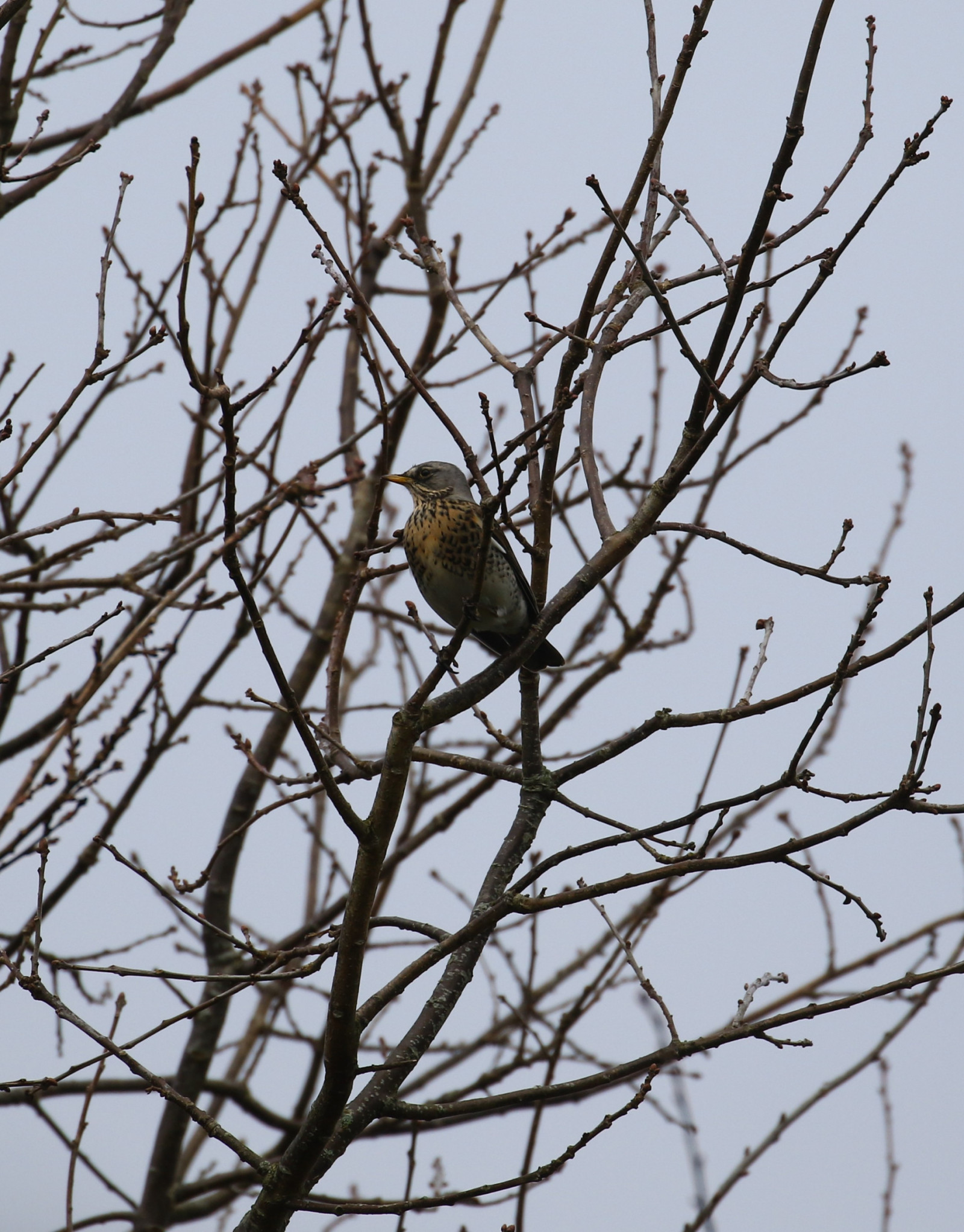
During Spring and especially Autumn migration look for biegus krzywodzioby, brodziec piskliwy, samotnik, brodziec śniady, sieweczka rzeczna, biegus malutki, batalion and kulik mniejszy, some of which stay for long periods. Migrant landbirds include białorzytka, pliszka żółta, pleszka and pokląskwa. Since the reintroductions of rybołów in Poole Harbour and bielik on the Isle of Wight, sightings of these species are becoming more frequent.
Szczegóły
Dostęp
The nearest town Wareham is to the North West, leave Wareham on B3075 signed Corfe Castle, on entering Stoborough take first Left into Nutcrack Lane. Continue on this road passing through crossroads, road now becomes Arne Road and passes through heathland. Continue and take Right turn signed Corfe Castle 3 miles, road soon narrows still passing through heathland. After passing Road Liable To Flooding sign and passing over cattle grid the small roadside car park is just ahead (NOTE: do not enter or drive on middlebere farm road or block gateways).
Press STARS on map for more information.
Teren i siedlisko
Rzadkie drzewa i krzewy , Łąka , Tereny podmokłe , Rzeka , Morze , Trzcinowiska , Rolnictwo/uprawy , Błota , Plaża , LasWarunki
Płaski , Bagienny , Ślisko , Możliwy wysoki poziom wody , Otwarty krajobrazTrasa dookoła
NieCzy luneta będzie przydatna ?
TakUdany sezon obserwacyjny
Przez cały rokNajlepszy czas na wizytę
Zima , Wiosna , Jesień , Jesienne migracje , Wiosenne migracjeTrasa
Droga utwardzona , Szeroka ścieżka , Droga nieutwardzona , Wąski szlakPoziom trudności szlaku pieszego
ŁatwyDostępne
Pieszo , Rower , SamochódCzatownia/platforma obserwacyjna
TakDodatkowe informacje
From the car park to the avocet hide is a 1,7 km walk.
.jpg)

 ) aby wstawić nazwy ptaków w swoim języku ojczystym. Nazwy ptaków zostaną automatycznie przetłumaczone dla innych użytkowników!