
Opis
Millbrook Lake used to be tidal for it's full length, but in recent years a barrage has been built forming an actual lake at it's western end. During low tide the main estuary is virtually empty of water, so the usual 3 hours either side of high tide is best. BE WARNED the town has very narrow roads and one way systems in places, *these narrow roads are on a bus route so be very cautious and do not stray from your car*. There is a car park in the centre of the town and if you are going to spend a prolonged time at this site I would advise you to use it.
Szczegóły
Dostęp
You can approach the town using the B3247, or by cycle using the Cremyll pedestrian ferry (charge incurred) from The City of Plymouth, as suggested earlier you can catch a bus direct from Plymouth to the town. As well as the marked out and back route along the south shore road, you can obviously extend it further east to take in more of the main estuary.
Teren i siedlisko
Rzadkie drzewa i krzewy , Łąka , Rzeka , Morze , Miasto/wieś , Rolnictwo/uprawy , Błota , JezioroWarunki
Płaski , Możliwy wysoki poziom wodyTrasa dookoła
TakCzy luneta będzie przydatna ?
TakUdany sezon obserwacyjny
Zima , Wiosna , JesieńNajlepszy czas na wizytę
Zima , Wiosna , Jesień , Jesienne migracje , Wiosenne migracjeTrasa
Droga utwardzona , Szeroka ścieżkaPoziom trudności szlaku pieszego
ŁatwyDostępne
Pieszo , Rower , Samochód , Wózek inwalidzkiCzatownia/platforma obserwacyjna
NieDodatkowe informacje
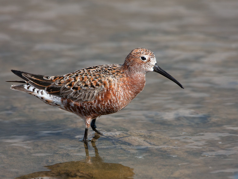
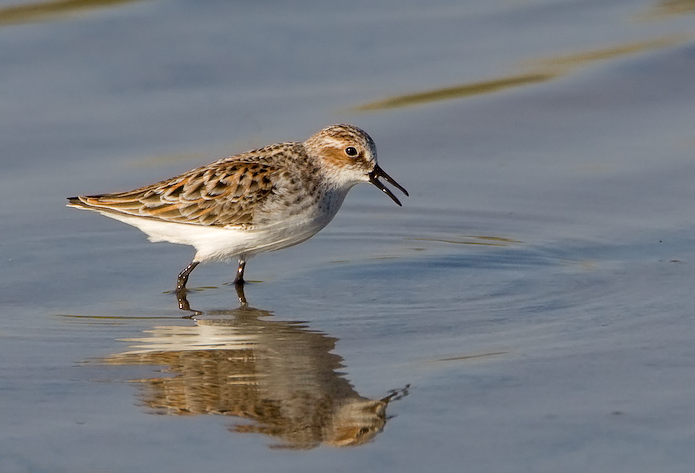
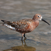
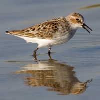
On very exceptional high spring tides the southern estuary road can flood when strong winds are from the south pushing water up the Tamar Estuary. Because this is a fairly smallish estuary for the area, it is well sheltered by surrounding hills and is noted for autumn migrant waders.

 ) aby wstawić nazwy ptaków w swoim języku ojczystym. Nazwy ptaków zostaną automatycznie przetłumaczone dla innych użytkowników!