
Opis
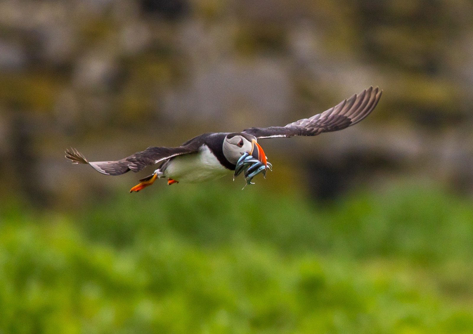
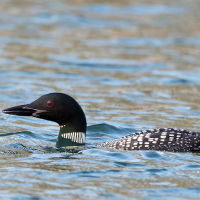
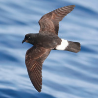
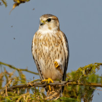
Pentire Point and The Rumps are part of a large North Westward pointing headland North of Polzeath, offshore during Early to Mid Summer it's speciality is maskonur in small numbers. The area is very open and has few places to shelter during inclement weather, but can be productive for seawatching during the right weather conditions of onshore winds from the Northwest/North/Northeast. The area is also good for Spring and Autumn migrants and numerous resident breeding birds.
Szczegóły
Dostęp
Just to the East of the site the A39 (Atlantic Highway) between Camelford and Wadebridge runs North East to South West, if travelling on the A39 from the North East leave roundabout at Wadebridge onto B3314, turn right (North) onto Bodieve Road (still B3314). Continue on narrow roads (avoiding busy Polzeath during summer) and look for road signs to Pentireglaze and Pentire Point National Trust Car Park (Fee Payable). The circular trail shown on the map is 5,5 km long.
Teren i siedlisko
Rzadkie drzewa i krzewy , Łąka , Płaskowyż , Morze , Miasto/wieś , Rolnictwo/uprawy , Kanion/klifWarunki
Płaski , Pagórkowaty , Skalisty , Otwarty krajobrazTrasa dookoła
TakCzy luneta będzie przydatna ?
TakUdany sezon obserwacyjny
Przez cały rokNajlepszy czas na wizytę
Jesienne migracje , Wiosenne migracje , Jesień , Wiosna , Lato , ZimaTrasa
Droga utwardzona , Wąski szlak , Szeroka ścieżkaPoziom trudności szlaku pieszego
Średnio wymagający spacerDostępne
Pieszo , Rower , SamochódCzatownia/platforma obserwacyjna
NieDodatkowe informacje
As well as the National Trust Car Park there is a very small parking area at Pentire Farm nearer Pentire Point. BE WARNED THIS AREA HAS STEEP HIGH CLIFFS AND CAN BE VERY DANGEROUS, FATALITIES HAVE OCCURRED. As with all seaside locations in the South West during SUMMER this area can become VERY BUSY, car parks can fill up quickly in good weather, an early morning start or on duller days may be best.
 ) aby wstawić nazwy ptaków w swoim języku ojczystym. Nazwy ptaków zostaną automatycznie przetłumaczone dla innych użytkowników!