Opis
At 1,430 feet above sea level Princetown is one of the highest inhabited villages in the whole of England. Part of this walk includes South Hessary Tor which stands at 1,490 feet high, the famous author Sir Arthur Conan Doyle spent some time living in the area whilst researching the Sherlock Holmes story of The Hound of the Baskerville's. In fact part of this walk gave inspiration for the Grimpen Mire mentioned in the book.
As with all areas of Dartmoor, weather conditions can suddenly change whatever the season. For those attempting this walk you're advised to carry protective clothing (even in Summer) as bad weather can close in without warning, so check weather forecast before starting out. If walking alone advise someone of your intended route and finishing time, carry a map and compass or handheld GPS. Remember mobile phone reception can be a bit hit and miss in the area.
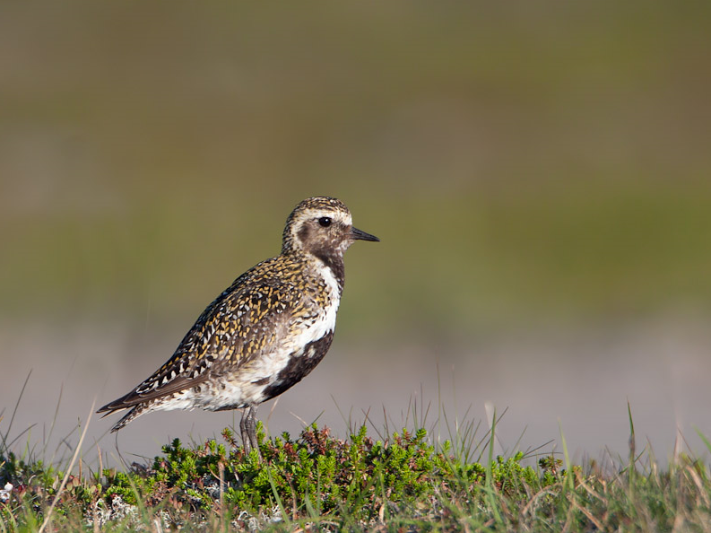
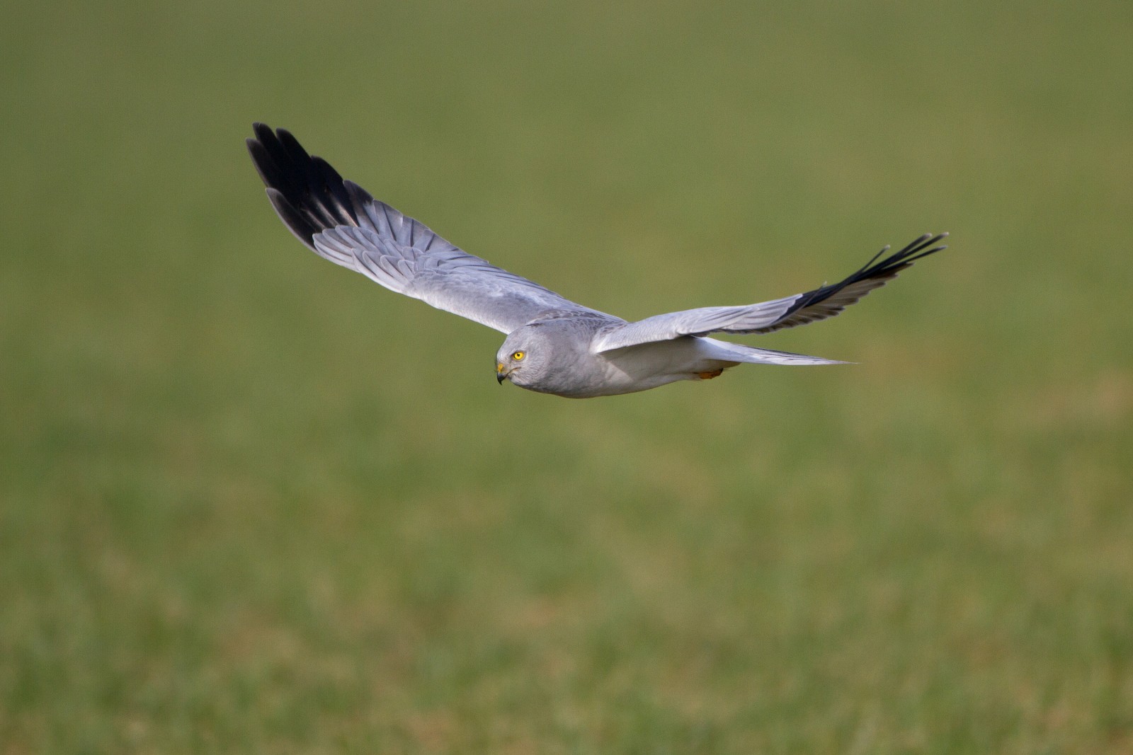
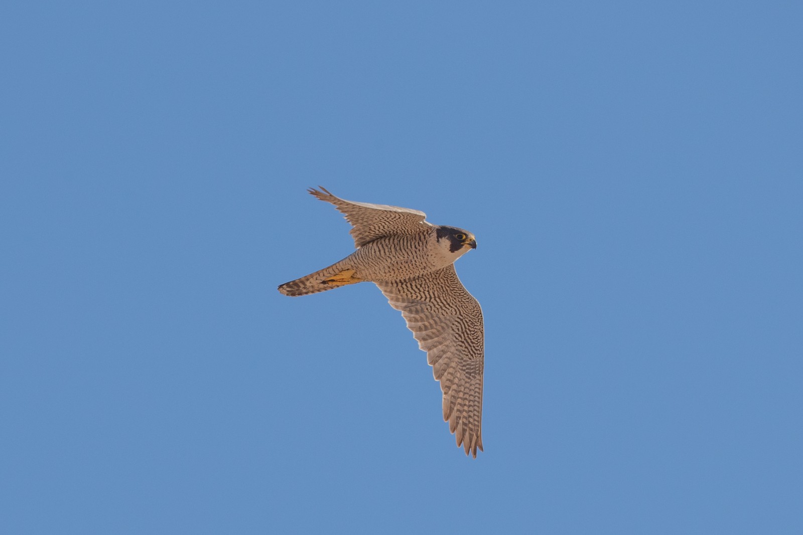
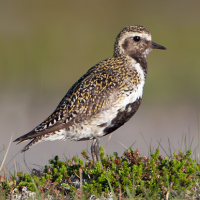
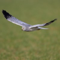
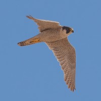
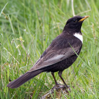
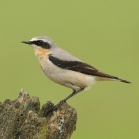
Some birds you may encounter, depending on season of course are siewka złota, błotniak zbożowy, kruk, świergotek łąkowy, świergotek drzewny, kukułka, sokół wędrowny and kszyk. Pardwa mszarna were once regularly seen but the population is now getting ever smaller.
Szczegóły
Dostęp
The B3212 road running between Exeter (far to the East) and Yelverton (to the West - then South to Plymouth on A386) passes directly through the village of Princetown, the car park (fee payable) is directly behind the Dartmoor National Park Visitor Centre. Click on the P in the map for directions to the car park. The circular walk indicated on the map is about 4,5 mile.
 ) aby wstawić nazwy ptaków w swoim języku ojczystym. Nazwy ptaków zostaną automatycznie przetłumaczone dla innych użytkowników!