
Opis
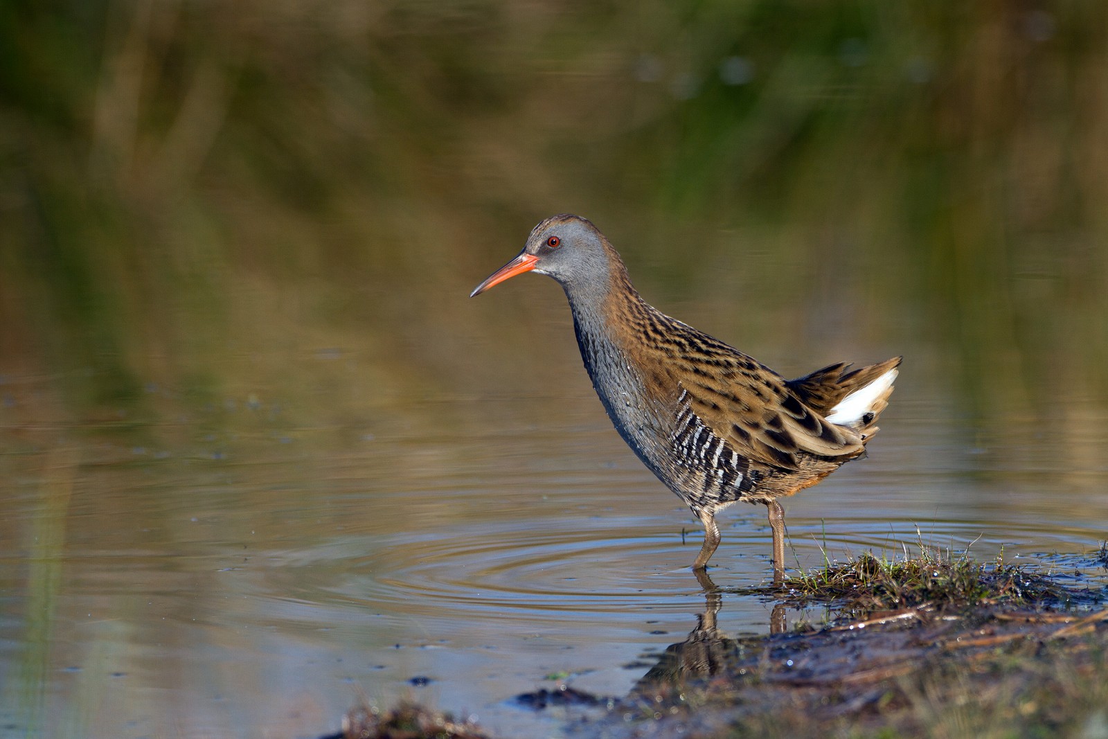
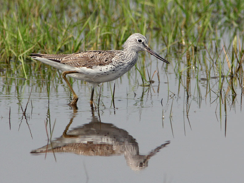
The Estuary runs roughly North East to South West with the village of Averton Gifford at it's head and Bantham at it's mouth, during the Autumn of 2020 a brodziec żółtonogi spent some time on the upper estuary and saltmarsh, so rarities can be expected. On the Northern edge of the estuary is a TIDAL ROAD that runs East to West, further North is farmland with minor roads and footpaths that make a good circular walk.
Szczegóły
Dostęp
From Plymouth take the A379 Eastward, passing through Brixton, Yealmpton and Modbury. The road eventually turns more Southerly and arrives at Averton Gifford, where there is a car park/boat park on the right just before the bridges.
Teren i siedlisko
Rzadkie drzewa i krzewy , Las , Tereny podmokłe , Łąka , Dolina , Rzeka , Morze , Trzcinowiska , Miasto/wieś , Rolnictwo/uprawy , Błota , PlażaWarunki
Płaski , Pagórkowaty , Otwarty krajobraz , Możliwy wysoki poziom wody , Ślisko , BagiennyTrasa dookoła
TakCzy luneta będzie przydatna ?
TakUdany sezon obserwacyjny
Przez cały rokNajlepszy czas na wizytę
Wiosenne migracje , Jesienne migracje , Zima , Lato , Wiosna , JesieńTrasa
Droga utwardzona , Szeroka ścieżka , Wąski szlakPoziom trudności szlaku pieszego
Średnio wymagający spacerDostępne
Pieszo , Rower , SamochódCzatownia/platforma obserwacyjna
TakDodatkowe informacje
BEWARE OF HIGH TIDE on the TIDAL ROAD. Rather than do the long circular walk on Northern farmland take short cuts to save time.


 ) aby wstawić nazwy ptaków w swoim języku ojczystym. Nazwy ptaków zostaną automatycznie przetłumaczone dla innych użytkowników!