Opis
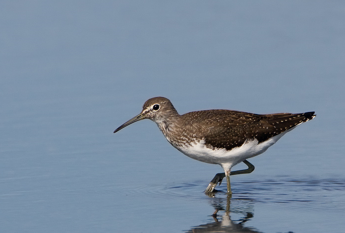
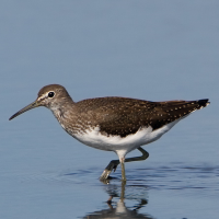
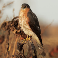
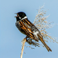
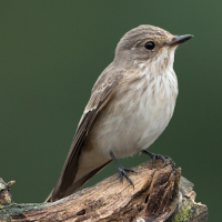
Roding Valley Meadows is a reserve managed by Essex Wildlife Trust. It comprises of river water meadows that frequently flood in Winter when the River Roding overspills it's banks. During this time of flooding there can be an increase in Gull (Laridae) species. There are two footbridges over the river, so you can gain access to the recreation ground and large lake. There are over 10 miles of ancient hedgerows surrounding numerous meadows. świergotek łąkowy, pleszka, pokląskwa, kląskawka, białorzytka and muchołówka szara are frequently seen on passage, especially in Autumn. The Recreation Lake most years has perkozek, perkoz dwuczuby, Płaskonos, krakwa, czernica, colder weather increases the chance of świstun and nurogęś. The river has zimorodek and pliszka górska. Both trzcinniczek (zwyczajny) and potrzos can usually be found towards the North East of the reserve and later in the year both samotnik and brodziec piskliwy are regular visitors. Once a year there is a haycut of the meadows, BE AWARE livestock may be present on site, please make sure you close all gates after passing through.
Some more unusual birds that have been seen on the reserve since 2007 are bernikla obrożna, świerszczak, przepiórka, hełmiatka, perkoz rdzawoszyi, myszołów włochaty, wodnik (zwyczajny), słonka and mewa romańska.
Szczegóły
Dostęp
Even though the M11 Motorway runs directly beside the reserve, there are a lot of roadworks and construction ongoing in the immediate area. There are two car parks (Free), one at the David Lloyd Tennis Centre and one at Grange Farm. For directions press P on map.
Teren i siedlisko
Rzadkie drzewa i krzewy , Łąka , Dolina , Jezioro , Miasto/wieś , Rolnictwo/uprawy , Trzcinowiska , Rzeka , Tereny podmokłeWarunki
Płaski , Możliwy wysoki poziom wody , Bagienny , Ślisko , SuchyTrasa dookoła
TakCzy luneta będzie przydatna ?
TakUdany sezon obserwacyjny
Przez cały rokNajlepszy czas na wizytę
Zima , Wiosna , JesieńTrasa
Droga utwardzona , Szeroka ścieżka , Droga nieutwardzona , Wąski szlakPoziom trudności szlaku pieszego
ŁatwyDostępne
Pieszo , Rower , SamochódCzatownia/platforma obserwacyjna
NieDodatkowe informacje
The walk on the map (about 4,5 mile) covers all main habitats, you can of course take many shortcuts due to time constraints.
 ) aby wstawić nazwy ptaków w swoim języku ojczystym. Nazwy ptaków zostaną automatycznie przetłumaczone dla innych użytkowników!