Opis
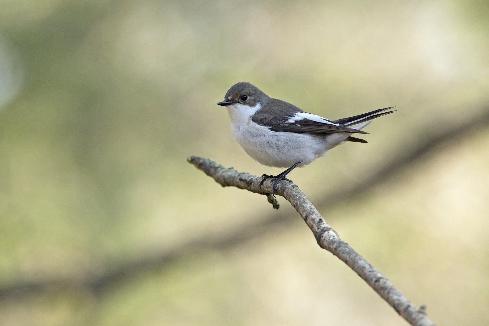
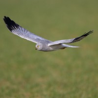
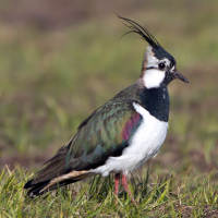
Ynys-hir is on the south bank of the River Dyfi estuary (pronounced "duvvey"). It's based on two or three steep east-west wooded ridges separated by reedbeds. The Dyfi is tidal, with mudflats and wet pasture. With the mountains of southern Snowdonia to the north and the Cambrian mountains to the south, the Ynys-hir reserve is stunning whichever way you look. Summer brings wading birds, such as czajka and krwawodziób and some very special butterflies. Come the colder months, ducks and geese move in.
Szczegóły
Dostęp
Buses pass on the main road through Eglwys-Fach between Aberystwyth and Machynlleth, it's a mile walk to the reserve centre. Alternatively, it's best to drive and park at the reserve centre. Access within the reserve is exclusively on foot, the terrain is unsuitable for wheelchairs. The postcode is SY20 8TA . There are trails and bird hides to explore the area.
Teren i siedlisko
Rzadkie drzewa i krzewy , Las , Tereny podmokłe , Jezioro , Błota , Rzeka , Trzcinowiska , GóryWarunki
Płaski , Pagórkowaty , Skalisty , Możliwy wysoki poziom wody , BagiennyTrasa dookoła
TakCzy luneta będzie przydatna ?
Może być przydatnaUdany sezon obserwacyjny
Przez cały rokTrasa
Szeroka ścieżka , Droga nieutwardzona , Wąski szlakPoziom trudności szlaku pieszego
Średnio wymagający spacerCzatownia/platforma obserwacyjna
TakDodatkowe informacje
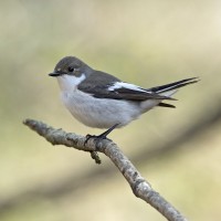
The bird feeders outside the centre can be alive with small birds.
 ) aby wstawić nazwy ptaków w swoim języku ojczystym. Nazwy ptaków zostaną automatycznie przetłumaczone dla innych użytkowników!