
Opis
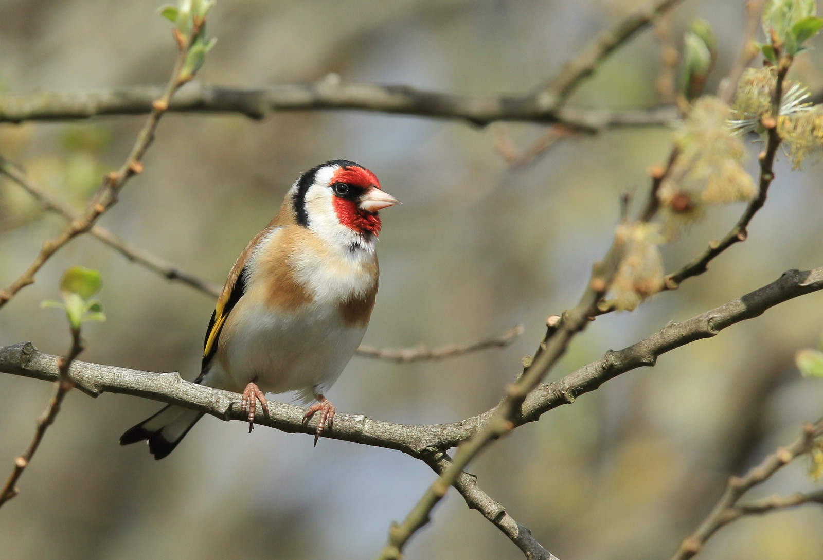
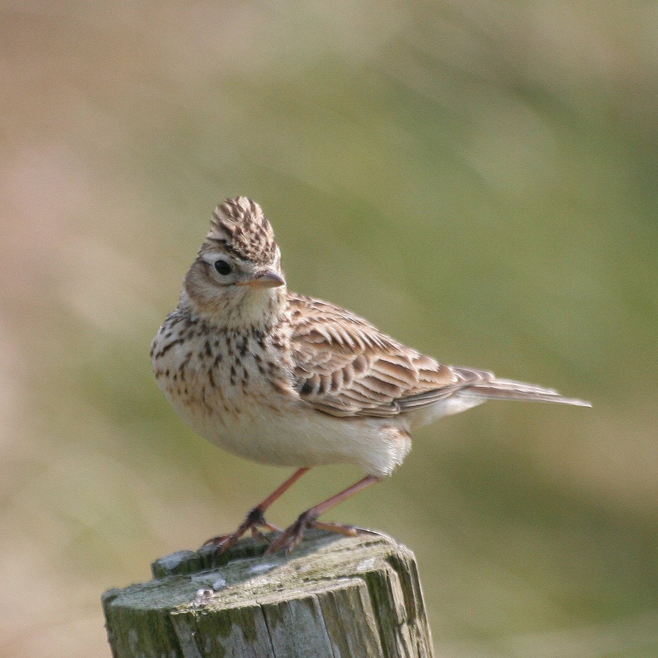
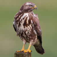
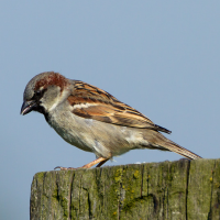
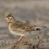
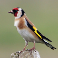
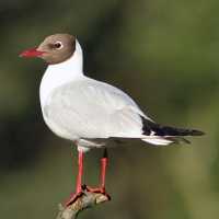
skowronek on arable field. trznadel , wróbel , modraszka , rudzik , pokrzywnica , strzyzyk zwyczajny , dzwoniec, szczygieł, gil along the established hedgerows near the brook. A family of myszołów fly over field. You can catch the śmieszka and bernikla kanadyjska who do fly overs from the local resevoir. See if you can spot the local elusive puszczyk zwyczajny heard in evenings. Plus many many more birds awaiting to be seen, pictured and documented. Highly recommended if you're in the area!
Szczegóły
Dostęp
Site A27 is located on the western outskirts of Ashby de la Zouch. Best to visit on foot and wearing wellies or boots in wetter months. The Public Right of Way next to the field is accessed via a compacted hoggin path from Bishop Hall Road in Ashby de la Zouch. Follow the path, past the play park and estate basin pond, the path goes through the hedge where it becomes earth (can be muddy in wet weather). It travels on a slight incline slope along one side of the field.
You can twitch from this path, or continue onward towards Blackfordby (aim for the spire), or walk around the woodlands to see many other birds. Enjoy!
Side note: the hedgerow can be viewed from Rushey Close, however access to the field and beyond is only gained via the Public Right of Way.
Wheelchair users may find the ground on the field and woodland challenging. However, some of the birds can be viewed from fully accessible paved areas with phone/camera/telescopic aides.
Teren i siedlisko
Las , Rolnictwo/uprawy , Równina , Tereny podmokłe , Łąka , Rzadkie drzewa i krzewyWarunki
Płaski , Bagienny , Otwarty krajobraz , Pagórkowaty , Brak cieniaTrasa dookoła
TakCzy luneta będzie przydatna ?
Może być przydatnaUdany sezon obserwacyjny
Przez cały rokNajlepszy czas na wizytę
WiosnaTrasa
Droga utwardzona , Droga nieutwardzona , Szeroka ścieżka , Wąski szlakPoziom trudności szlaku pieszego
ŁatwyDostępne
Pieszo , Rower , Wózek inwalidzkiCzatownia/platforma obserwacyjna
NieDodatkowe informacje
APPEAL please read - We are quickly trying to document as many bird species as we can on and around this farmland site, especially red listed birds, due to a planning application which threatens the last piece of green buffer farmland before the National Forest.
If you are in the area and can help with your bird spot photos. Please send them in to Naturespot, iRecord or LRERC for them to be considered and taken into account with the planning decision.
Thank you so much for your time and enjoy your twitching!
 ) aby wstawić nazwy ptaków w swoim języku ojczystym. Nazwy ptaków zostaną automatycznie przetłumaczone dla innych użytkowników!