
Opis
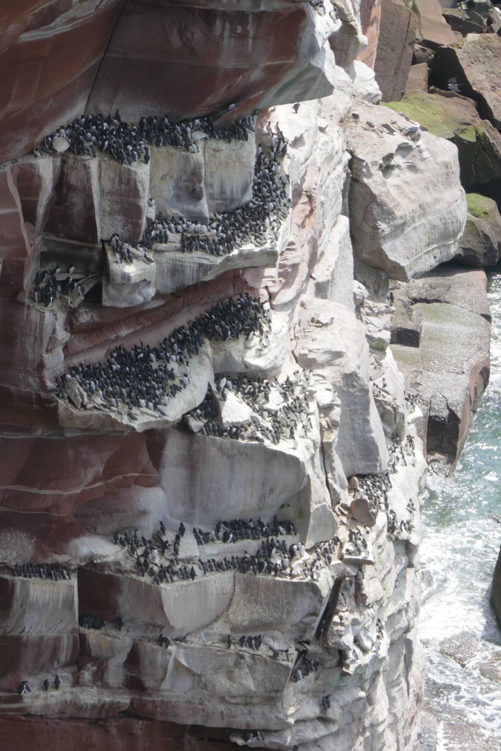
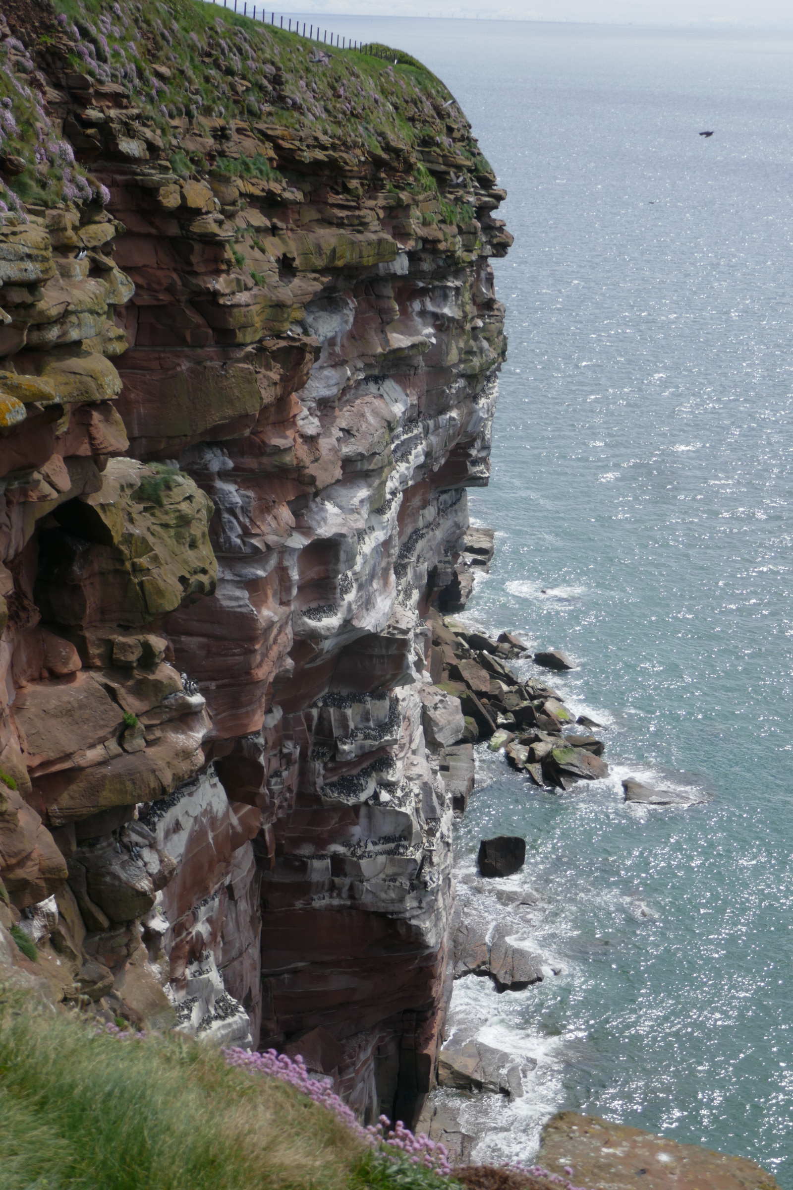
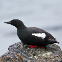
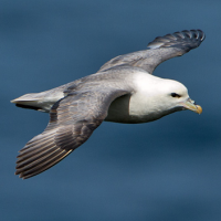
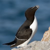
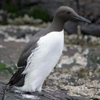
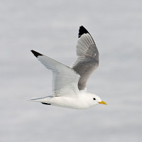
St Bees Head is a headland on the North West coast of Cumbria and is named after the nearby village of St Bees. St Bees Head, supports north-west England's only cliff-nesting seabird colony. Red sandstone cliffs stacked with nesting seabirds like nurnik, nurzyk, alka, mewa trójpalczasta, maskonur and fulmar. Three viewing points give you great views of the colony and on a clear day you can see the Isle of Man across the sea.
Szczegóły
Dostęp
St Bees Head is situated between Whitehaven and St. Bees in west Cumbria and lies on the long-distance footpath of the Cumbria Coastal Way. The closest parking is near the farm Tarnflat Hall. You can also park in Whitehaven at Haig pit and take the Cumbria Coastal Way to the head. The path follows the edge of the cliffs, which rise to 90 metres above sea level. You can also park in Sandwith and follow the farm track straight to the head. Or park in St Bees village in the shore-front car park. Access to the reserve is via the path over the metal footbridge at the north end of the promenade. Click on a P in the map for directions to a parking. By train: St Bees station is 0.75 mile (1.25 km) from the reserve.
Notification from the RSPB May 2026: Please be aware that due to landslips the public footpath from St Bees (Council run Capark) to Fleswick bay has been shut.
Teren i siedlisko
Kanion/klif , MorzeWarunki
Otwarty krajobrazTrasa dookoła
TakCzy luneta będzie przydatna ?
Może być przydatnaUdany sezon obserwacyjny
Wiosna , Lato , JesieńNajlepszy czas na wizytę
Wiosna , LatoTrasa
Wąski szlakPoziom trudności szlaku pieszego
Średnio wymagający spacerDostępne
PieszoCzatownia/platforma obserwacyjna
NieDodatkowe informacje
Photo St Bees Head by Dougsim, CC BY-SA 3.0, https://creativecommons.org/licenses/by-sa/3.0, via Wikimedia Commons
 ) aby wstawić nazwy ptaków w swoim języku ojczystym. Nazwy ptaków zostaną automatycznie przetłumaczone dla innych użytkowników!