
.jpg)
Opis
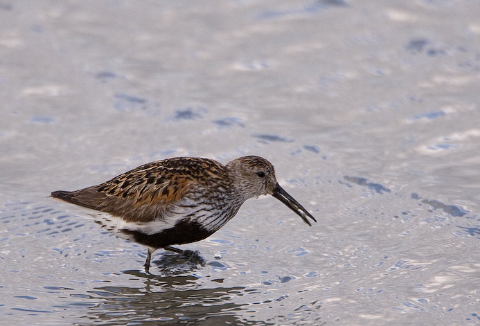
The Torpoint Peninsula area can be walked on footpaths through farmland/woodland and along roads with and without footpaths. It includes Wilcove Lake (small estuary), Jupiter Point (Royal Navy Seamanship School), the town of Torpoint itself and open farmland with a possibility of cierlik and warzęcha throughout the walk.
Szczegóły
Dostęp
The town of Torpoint is on the west bank of the River Tamar (at this point called the Hamoaze) reached by Pedestrian/Car ferry from The City of Plymouth. On leaving ferry continue on A374, which slowly climbs out of the town, when it flattens out turn left onto Trevol Road signposted HMS Raleigh (Naval Camp), continue on this road and look for a pull in on right just as naval camp ends (signed Horson Cemetery). Park here and continue on foot following the map. The total length of the route shown on the map is about 12 km.
Teren i siedlisko
Las , Rzadkie drzewa i krzewy , Łąka , Rzeka , Miasto/wieś , Rolnictwo/uprawy , Błota , PlażaWarunki
Pagórkowaty , Skalisty , Otwarty krajobraz , Możliwy wysoki poziom wody , Bagienny , ŚliskoTrasa dookoła
TakCzy luneta będzie przydatna ?
TakUdany sezon obserwacyjny
Przez cały rokNajlepszy czas na wizytę
Zima , Lato , Wiosenne migracje , Wiosna , Jesień , Jesienne migracjeTrasa
Droga utwardzona , Szeroka ścieżka , Wąski szlakPoziom trudności szlaku pieszego
Średnio wymagający spacerDostępne
Pieszo , Rower , SamochódCzatownia/platforma obserwacyjna
NieDodatkowe informacje
Pay attention to STAR ICONS in village of Wilcove.


.jpg)


 ) aby wstawić nazwy ptaków w swoim języku ojczystym. Nazwy ptaków zostaną automatycznie przetłumaczone dla innych użytkowników!