Opis
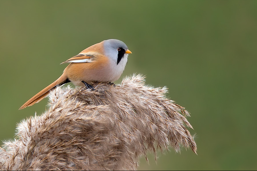
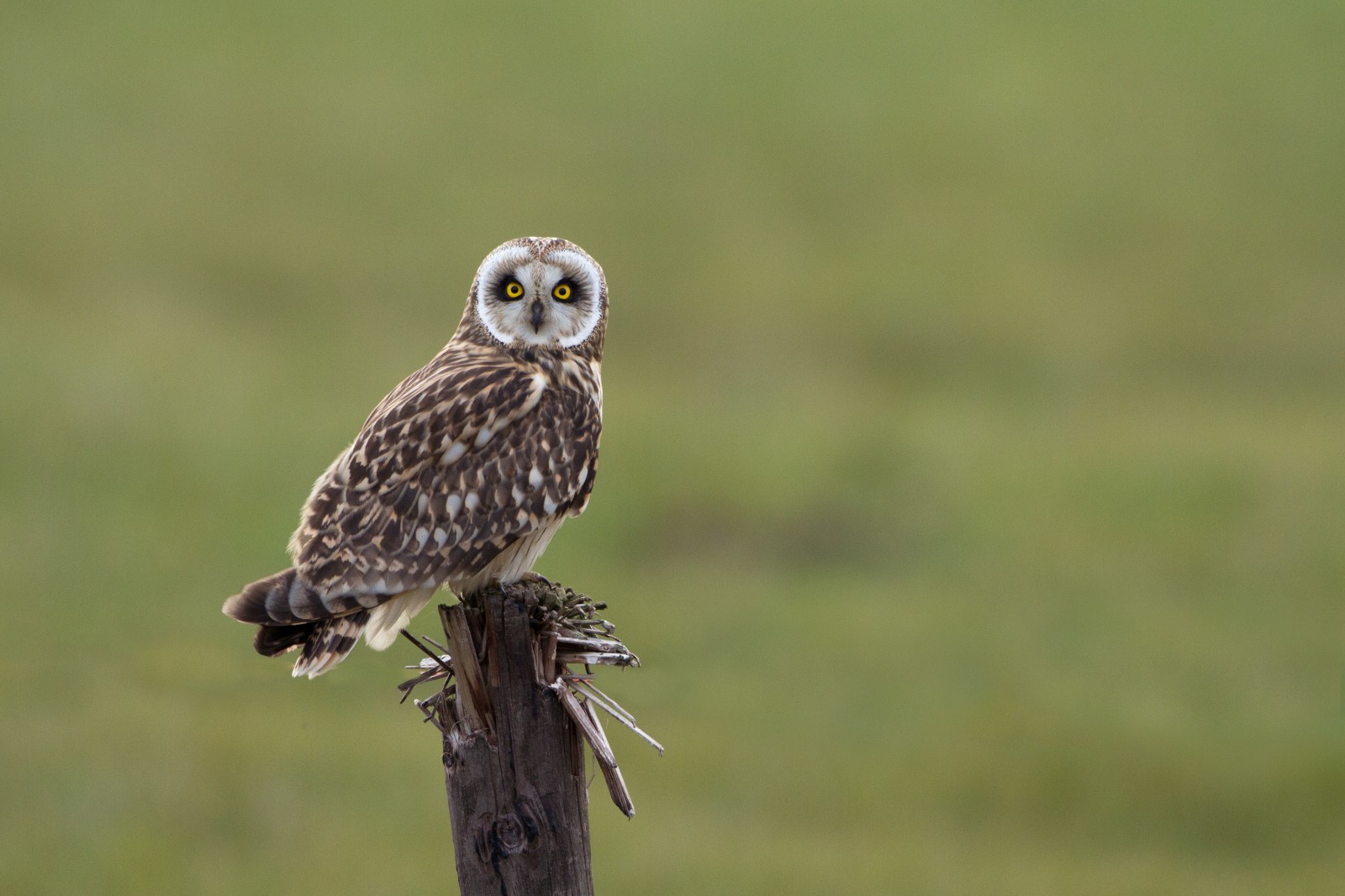
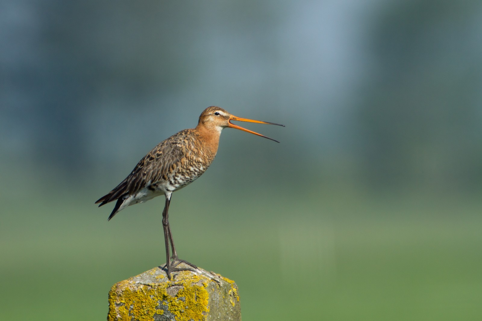
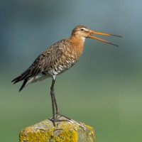
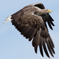
At the center of the site is a number of large lakes, once used as gravel pits. Just to the East is Swineham Point overlooking saltmarsh, reedbeds and Wareham Channel. The large area of water meadows are prone to flooding following long periods of rain, especially in Winter. The old gravel pits can hold gęgawa, bernikla kanadyjska, świstun, krakwa, cyraneczka, Płaskonos, czernica, łyska, perkozek, perkoz dwuczuby, rożeniec, głowienka, ogorzałka, perkoz rdzawoszyi, perkoz rogaty and the occasional nur rdzawoszyi. At low tide Wareham Channel holds feeding biegus zmienny, kulik wielki, krwawodziób, ostrygojad, siewnica, kwokacz, szablodziób and rycyk many of which use the water meadows as a high tide roost. Check all Gull (Laridae) flocks carefully for more unusual species such as mewa romańska and mewa delawarska. The Wareham Channel is known for both rybołów and bielik since the recent reintroductions in Poole Harbour and the Isle of Wight.
Szczegóły
Dostęp
The A35 main road from Poole (just to the North East) and Bere Regis (far to the West) is North of the site, leave A35 at Bakers Arms Roundabout signed Wareham/Sandfoot/Swanage A351. Follow signs to Wareham on A351, at Saxon Roundabout (on Northern edge of Wareham) take exit on to B3075 (to town centre), at traffic lights turn Left into East Street and then first Left into Morton's Lane. In Morton's Lane take first Left into Howard's Lane, car park (Fee Payable - 4 hours maximum stay) is just on the Left. There is also a 1 or 2 car parking spot on Bestwell Road near rugby club (Press STAR on map).
BE AWARE, some roads are PRIVATE ROADS, but have pedestrian access.
Teren i siedlisko
Las , Tereny podmokłe , Jezioro , Plaża , Błota , Rolnictwo/uprawy , Miasto/wieś , Trzcinowiska , Morze , Rzeka , Rzadkie drzewa i krzewyWarunki
Płaski , Bagienny , Ślisko , Możliwy wysoki poziom wody , Otwarty krajobrazTrasa dookoła
TakCzy luneta będzie przydatna ?
TakUdany sezon obserwacyjny
Przez cały rokNajlepszy czas na wizytę
Zima , Wiosenne migracje , Wiosna , Jesień , Jesienne migracjeTrasa
Droga utwardzona , Szeroka ścieżka , Droga nieutwardzona , Wąski szlakPoziom trudności szlaku pieszego
ŁatwyDostępne
Pieszo , Rower , SamochódCzatownia/platforma obserwacyjna
NieDodatkowe informacje
The total walking route indicated on the map is about 9 km, but also possible to split in two.

.jpg)
 ) aby wstawić nazwy ptaków w swoim języku ojczystym. Nazwy ptaków zostaną automatycznie przetłumaczone dla innych użytkowników!