
Opis
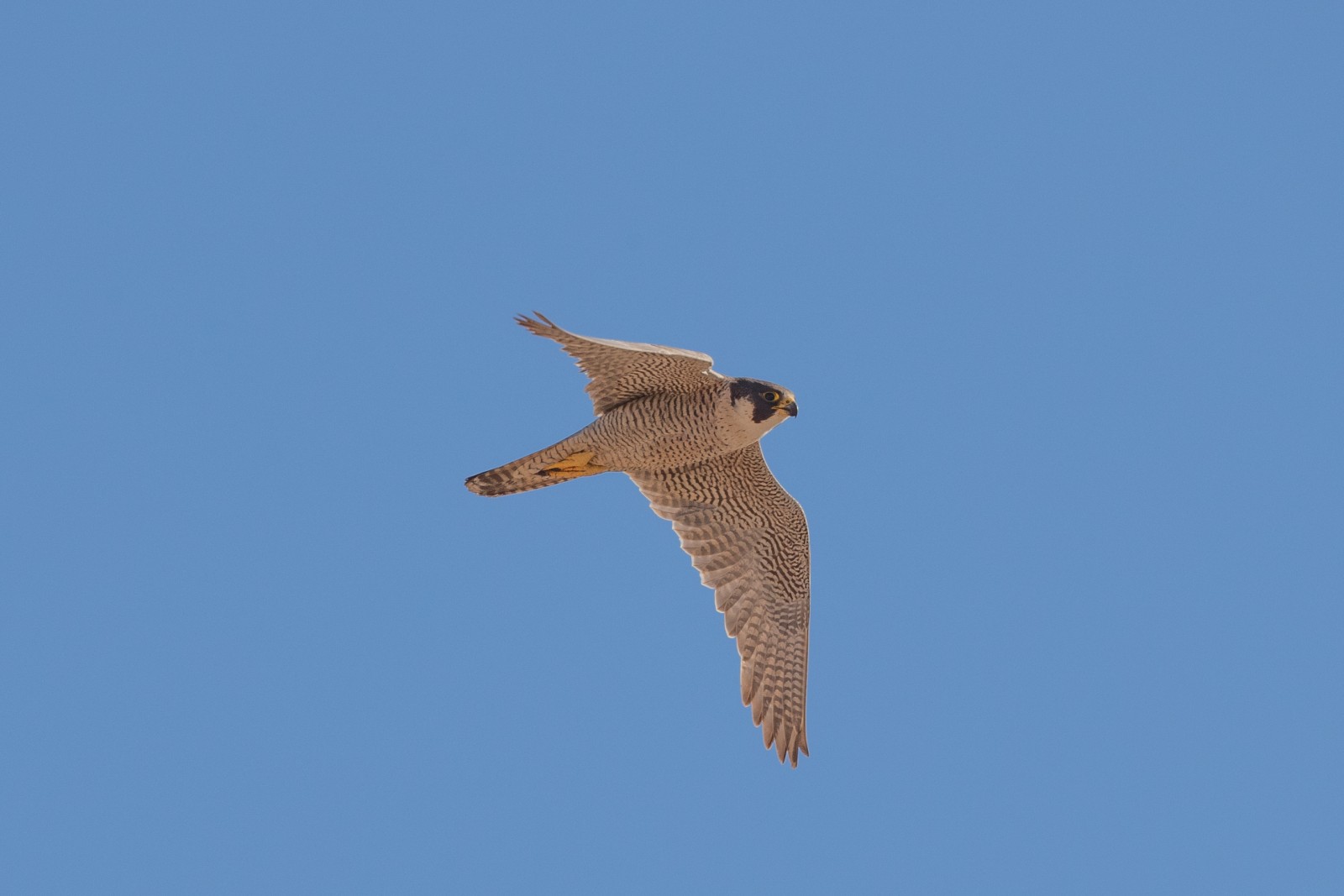
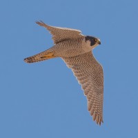
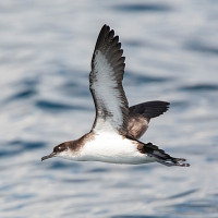
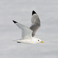
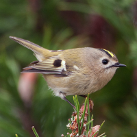
These three coastal sites are just West of The Valley of Rocks (see separate entry). But are different in being more heavily wooded with mostly deciduous trees and fast flowing streams were pliszka górska are possible. In places there are some tall conifer trees, so look out for mysikrólik. Nearer the coast at Crock Point sokół wędrowny, mewa trójpalczasta, fulmar, nurzyk, alka, głuptak, białorzytka, kląskawka and makolągwa can be seen. Further inland in wooded areas, sadly suffering from the felling of many Ash trees in recent years, during Summer you can expect to see pleszka, piecuszek, pierwiosnek and muchołówka żałobna.
Szczegóły
Dostęp
The A39 runs from Porlock (to the East), along the coast to the twin towns of Lynton and Lynmouth, on arriving in Lynton, look for signs to The Valley of Rocks, BE AWARE if travelling from this direction you will encounter a TOLL ROAD at Lee Abbey. If travelling from Barnstable (to the West), follow A39 (North East) to Lynton and Lynmouth, on passing the railway station of the Lynton & Barnstable Railway (on the Left), turn North (Left) on narrow roads towards Martinhoe, look for road signs to Lee Bay/ The Valley of Rocks, this coastal road eventually turns wooded as you approach Lee Bay.
Teren i siedlisko
Las , Rzadkie drzewa i krzewy , Łąka , Dolina , Rzeka , Morze , Miasto/wieś , Rolnictwo/uprawy , Plaża , Kanion/klifWarunki
Pagórkowaty , Skalisty , Otwarty krajobraz , ŚliskoTrasa dookoła
TakCzy luneta będzie przydatna ?
Może być przydatnaUdany sezon obserwacyjny
Przez cały rokNajlepszy czas na wizytę
Lato , Wiosenne migracje , Wiosna , Jesień , Jesienne migracje , ZimaTrasa
Droga utwardzona , Szeroka ścieżka , Droga nieutwardzona , Wąski szlakPoziom trudności szlaku pieszego
Średnio wymagający spacerDostępne
Pieszo , Rower , SamochódCzatownia/platforma obserwacyjna
NieDodatkowe informacje
BE WARNED the cliffs at Crock Point are very high and should only be attempted during daylight hours.
 ) aby wstawić nazwy ptaków w swoim języku ojczystym. Nazwy ptaków zostaną automatycznie przetłumaczone dla innych użytkowników!