Descrição
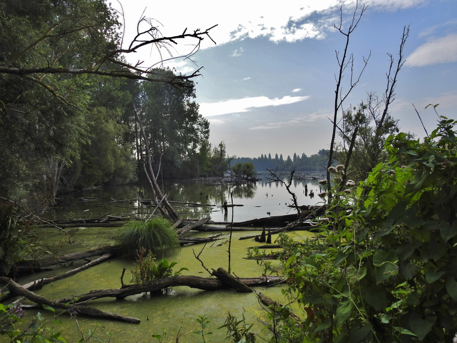
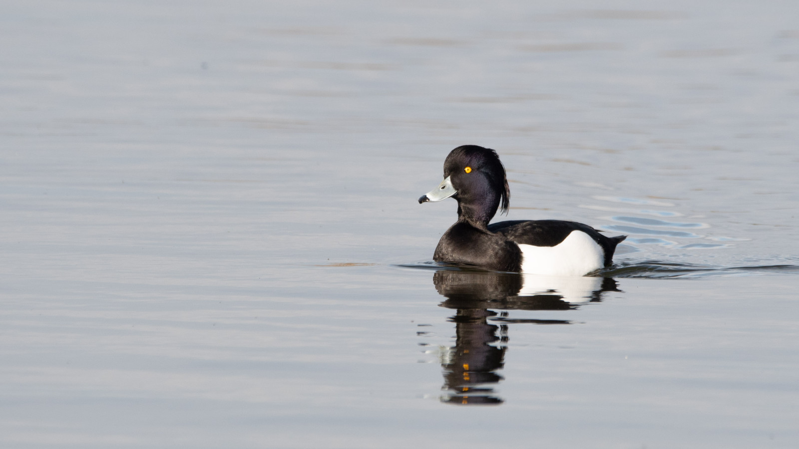
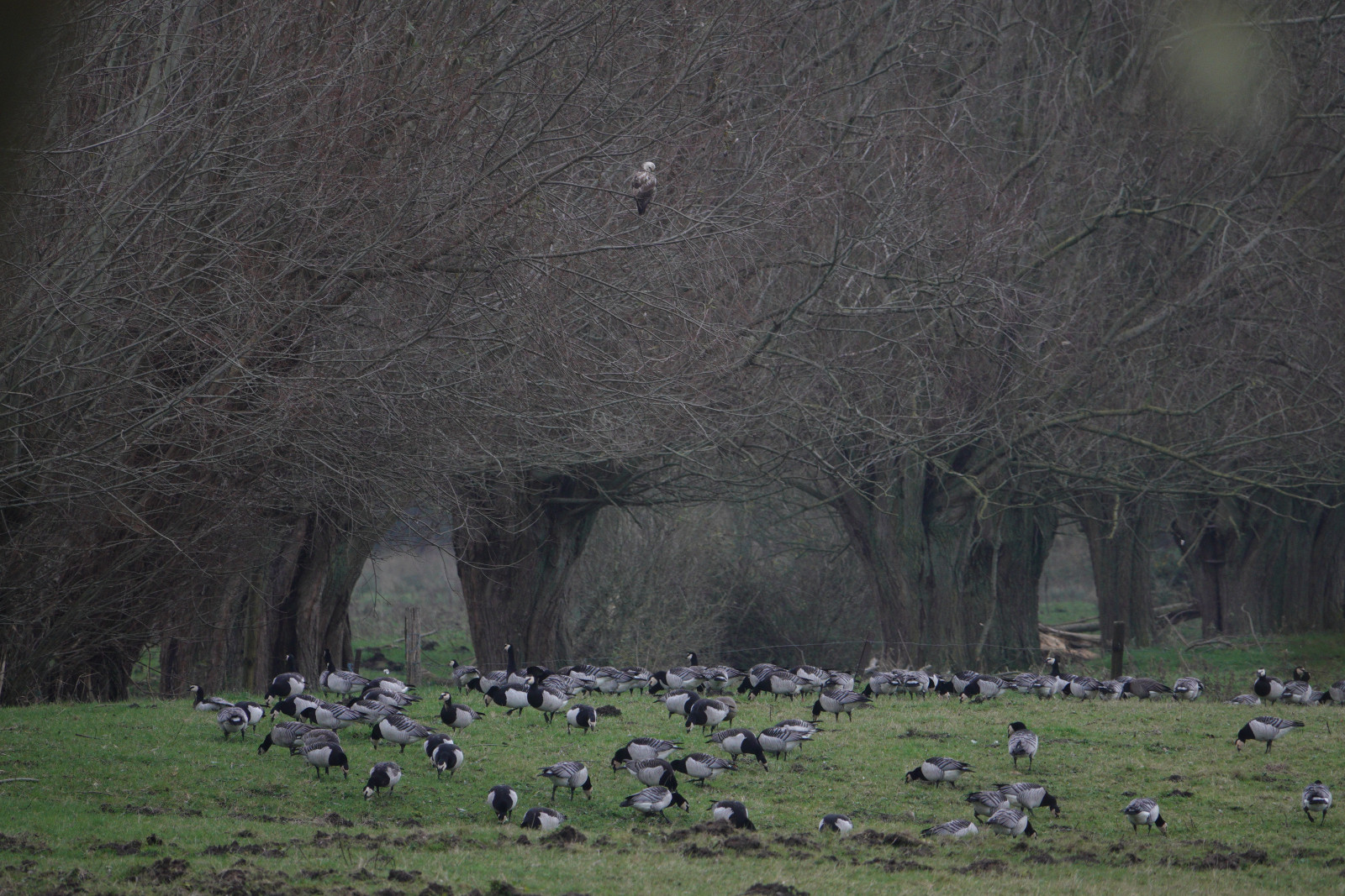
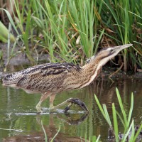
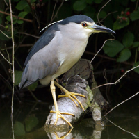
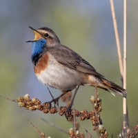
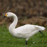
Les Marais d'Harchies consists of four large ponds, marshes, 24 hectares of reed beds and meadows with pollard willow. The wetland was created when subsidence from mining began to fill with water from the 1920s. Between 1968 and 1971, the marshes were drained for a construction project that failed, and the area was subsequently purchased for protection. As a result, they were refilled with groundwater and rainwater. The area now consists of a patchwork of ponds, marses and open meadows which offer ideal conditions and quietness for breeding birds. At the observatories, you may see: Garça-branca-grande, Cisne-pequeno, Pisco-de-peito-azul, Socó-taquari and Águia-pesqueira.
Detalhes
Acesso
Coming from Namur, Charleroi, Mons, take the 26th exit on the E42 highway "Dour, Pommeroeul". Follow signs Harchies, then CRIE d'HArchies boards. Coming from Tournai, Courtrai take the 27th exit on the E42 highway. Click on a P in the map to get directions to a parking place.
Terreno e Habitat
Terras húmidas , Camas de juncoCondições
Plano , PantanosoCaminho circular
Simé útil um telescópio?
Pode ser útilBoa temporada de observação de aves
Durante todo o anoMelhor hora para visitar
Migração da primavera , Inverno , Primavera , Outono , Migração de outonoRota
Estrada não pavimentadaCaminho dificil
FácilAcessível por
Pé , BicicletaAbrigo/plataforma deobservação de aves
SimInformação extra
The trail marked on the map is about 7 km and leads you to all the best places.

 ) para inserir nomes de aves no seu idioma. Os nomes das aves serão traduzidos automaticamente para outros utilizadores!