Descrição
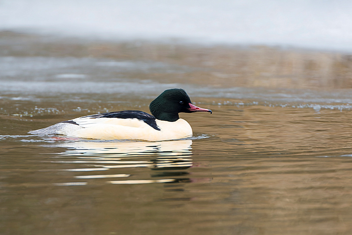
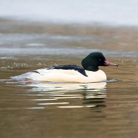
Avon Dam (sometimes called Avon Reservoir) is a relatively shallow reservoir built in 1957, best known by local birdwatchers as a Merganso-grande roost site. BE AWARE roosting Merganso-grande can depart for local rivers at sunrise. The walk from Shipley Bridge car park is on a good path right up to the dam, following the River Avon through woodland, the fruiting Rowan (Sorbus aucuparia) trees attract melro, Melro-de-peito-branco, Tordeia, Tordo-comum, Tordo-ruivo-comum and Tordo-zornal sometimes at the same time in Autumn.
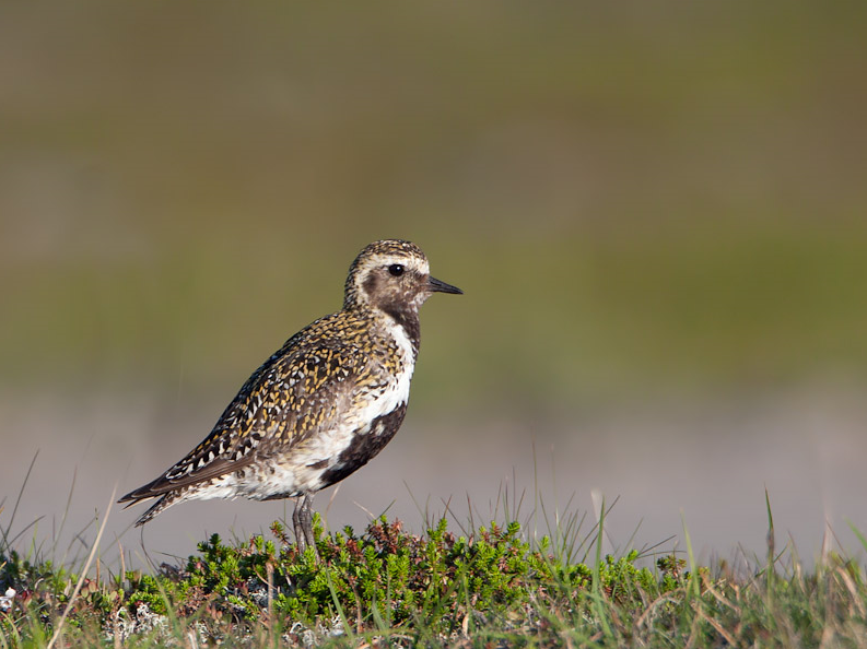
For those with more time a walk further onto open moorland can produce more species. BE WARNED weather can change quickly on Dartmoor, conditions such as mist and fog can descend without warning, a map/compass or GPS-device is advised along with protective clothing.
Press STARS on map for more information.
Detalhes
Acesso
The A38 - Devon Expressway runs between Exeter (to the East) and Plymouth (to the West). If traveling from Exeter leave on M5 motorway/A38 following signs to Plymouth, passing through Ashburton/Buckfastleigh. On approaching Marley Head interchange (in the shape of a large number eight), leave on slip road signed Paignton A385/South Brent/Avonwick (B3210), at roundabout take first exit signed South Brent/Avonwick, road goes over A38, at next roundabout take second exit signed Harbourneford/Didworthy/Avon Dam (*A). Note this road becomes narrow, at next crossroads (Harbourneford) continue straight ahead signed Didworthy/Avon Dam. At next junction road bends sharply to Left, at next crossroads (Gingaford) continue straight ahead signed Shipley Bridge/Didworthy. Road eventually passes through wooded section and goes over narrow Shipley Bridge, car park is immediately ahead on the Right. If traveling from Plymouth leave on A38 signed Exeter, on approaching Marley Head interchange leave A38 at sign for Paignton A385, at roundabout take third exit signed Harbourneford/Didworthy/Avon Dam and follow from (*A) above.
Terreno e Habitat
Árvores e arbustos dispersos , Terras húmidas , Zonas húmidas , Vale , Campina , Rio , LagoCondições
Montanhoso , Rochoso , Paisagem aberta , PantanosoCaminho circular
Simé útil um telescópio?
Pode ser útilBoa temporada de observação de aves
Durante todo o anoMelhor hora para visitar
Inverno , Verão , Migração da primavera , Primavera , Outono , Migração de outonoRota
Estrada pavimentada , Caminho largo , Estrada não pavimentada , Caminho estreitoCaminho dificil
Caminhada médiaAcessível por
Pé , CarroAbrigo/plataforma deobservação de aves
NãoInformação extra
The circular walking route indicated on the map is about 8 km.
 ) para inserir nomes de aves no seu idioma. Os nomes das aves serão traduzidos automaticamente para outros utilizadores!