Descrição
Tamerton Creek runs East to West on the edge of the city, eventually emptying into the River Tamar to the West, South of the creek is a mixture of housing and large industrial units, Ernesettle Creek runs South from the main creek. This area has paths through narrow wooded and open areas, some good areas of mud are exposed at low tide.
Detalhes
Acesso
The A38 runs through the North part of the city from Marsh Mills in the East to the Tamar Road Bridge in the West, this section of road is called The Parkway. Take the main interchange North onto the B3413, take a left turn onto Ernesettle Lane and then take a right into Northholt Avenue, at next roundabout take the first left (still Northholt Avenue) and park in small pull in on left. The circular route you see on the map below is 2,6 km.
Terreno e Habitat
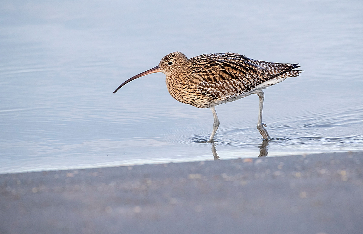
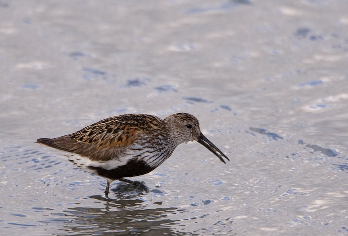
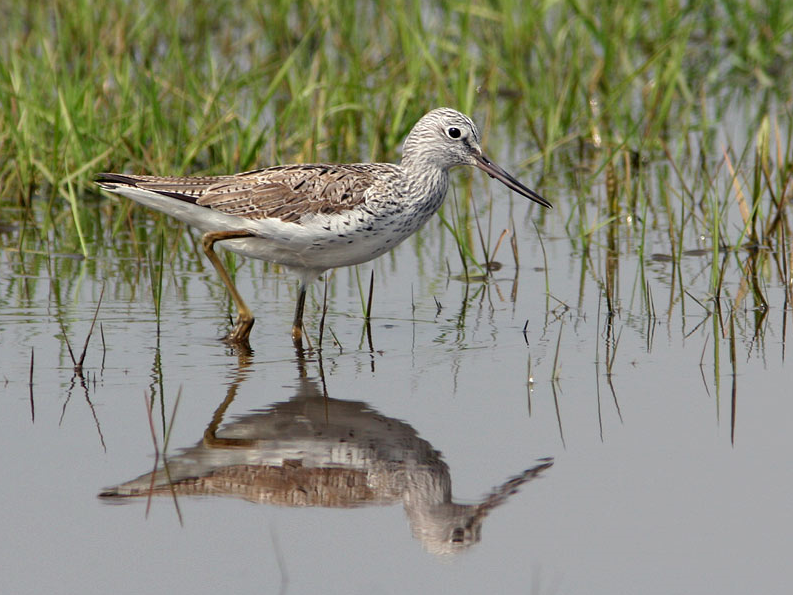
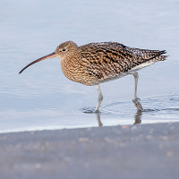
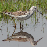
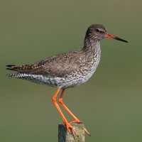
Árvores e arbustos dispersos , Campina , Rio , Cidade/Vila , Lamaçais , PraiaCondições
Plano , Possível na maré cheiaCaminho circular
Simé útil um telescópio?
SimBoa temporada de observação de aves
Durante todo o anoMelhor hora para visitar
Primavera , Inverno , Migração de outono , Migração da primaveraRota
Estrada pavimentada , Caminho largo , Caminho estreitoCaminho dificil
FácilAcessível por
Pé , Bicicleta , CarroAbrigo/plataforma deobservação de aves
NãoInformação extra
As usual with estuaries, check tide times, 3 hours before until 3 hours after high tide is best.


 ) para inserir nomes de aves no seu idioma. Os nomes das aves serão traduzidos automaticamente para outros utilizadores!