Descrição
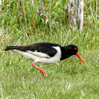
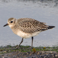
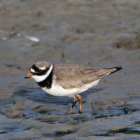
The area immediately North of the Torpoint Ferry (car/bus/pedestrian), can be divided into two distinct areas, the first is two areas of mudflats (called lakes locally) about the size of 4 football pitches at low tide and second a park area with grassland,woodland and allotments.
Detalhes
Acesso
The Torpoint Ferry (technically a floating bridge) crosses the River from the City of Plymouth, on leaving the ferry there is a one way system towards the left, there is ample on street parking available. On site the start of the walk is on a raised walkway, that eventually turns to sandy and then seaweed covered rocks along Gravesend Lake/Gravesend Hard (point) and Thankes Lake, eventually you get to Thankes Park that has open grassland and woodland walks.
Terreno e Habitat
Floresta , Campina , Rio , Mar , Lamaçais , Praia , Árvores e arbustos dispersosCondições
Plano , Pantanoso , Rochoso , Possível na maré cheia , EscorregadioCaminho circular
Simé útil um telescópio?
SimBoa temporada de observação de aves
Durante todo o anoMelhor hora para visitar
Inverno , Primavera , Outono , Migração de outono , Migração da primaveraRota
Estrada pavimentada , Caminho largo , Caminho estreitoCaminho dificil
Caminhada médiaAcessível por
PéAbrigo/plataforma deobservação de aves
NãoInformação extra
BE WARNED, after the raised walkway runs out, the remaining walk on sandy/rocky/slippery areas is below the high tide point, please check high tide times before. Plus the line of 4 STARS on map indicates the moorings (called Trots here) that are good for resting Terns.

 ) para inserir nomes de aves no seu idioma. Os nomes das aves serão traduzidos automaticamente para outros utilizadores!