
.jpg)
Descrição
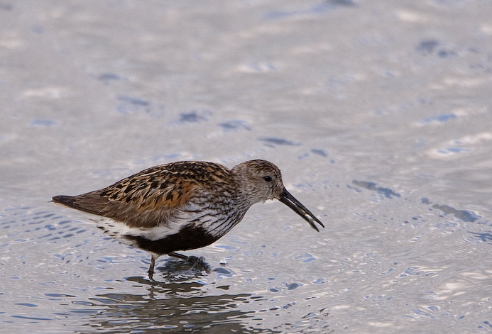
The Torpoint Peninsula area can be walked on footpaths through farmland/woodland and along roads with and without footpaths. It includes Wilcove Lake (small estuary), Jupiter Point (Royal Navy Seamanship School), the town of Torpoint itself and open farmland with a possibility of Escrevedeira-de-garganta-preta and Colhereiro throughout the walk.
Detalhes
Acesso
The town of Torpoint is on the west bank of the River Tamar (at this point called the Hamoaze) reached by Pedestrian/Car ferry from The City of Plymouth. On leaving ferry continue on A374, which slowly climbs out of the town, when it flattens out turn left onto Trevol Road signposted HMS Raleigh (Naval Camp), continue on this road and look for a pull in on right just as naval camp ends (signed Horson Cemetery). Park here and continue on foot following the map. The total length of the route shown on the map is about 12 km.
Terreno e Habitat
Floresta , Árvores e arbustos dispersos , Campina , Rio , Cidade/Vila , Agricultura , Lamaçais , PraiaCondições
Montanhoso , Rochoso , Paisagem aberta , Possível na maré cheia , Pantanoso , EscorregadioCaminho circular
Simé útil um telescópio?
SimBoa temporada de observação de aves
Durante todo o anoMelhor hora para visitar
Inverno , Verão , Migração da primavera , Primavera , Outono , Migração de outonoRota
Estrada pavimentada , Caminho largo , Caminho estreitoCaminho dificil
Caminhada médiaAcessível por
Pé , Bicicleta , CarroAbrigo/plataforma deobservação de aves
NãoInformação extra
Pay attention to STAR ICONS in village of Wilcove.


.jpg)


 ) para inserir nomes de aves no seu idioma. Os nomes das aves serão traduzidos automaticamente para outros utilizadores!