Descrição
Clarence Cannon National Wildlife Refuge covers 3,750 acres of Mississippi River floodplain. The landscape is low and flat. The levee that separates the refuge from the main river channel keeps the refuge relatively dry except in those years of heavy flooding in the Mississippi River corridor. Once water is over the levee, the refuge acts as a storage area for that water. In most years, staff at the refuge regulate water levels to mimic minor flood events and maintain the wet meadows.
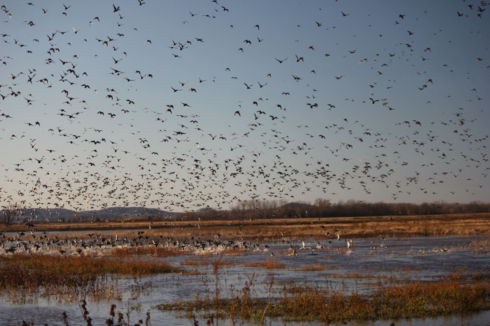
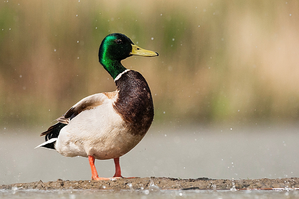
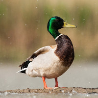
The refuge provides a feeding and resting area for migratory birds and is managed primarily for waterfowl. At the peak of migration in October and November the refuge may have well over 200,000 geese and ducks, the great majority of them Mallard. The birding is easily enjoyed on a drive along the refuge roads. But there are also walking trails to explore the area.
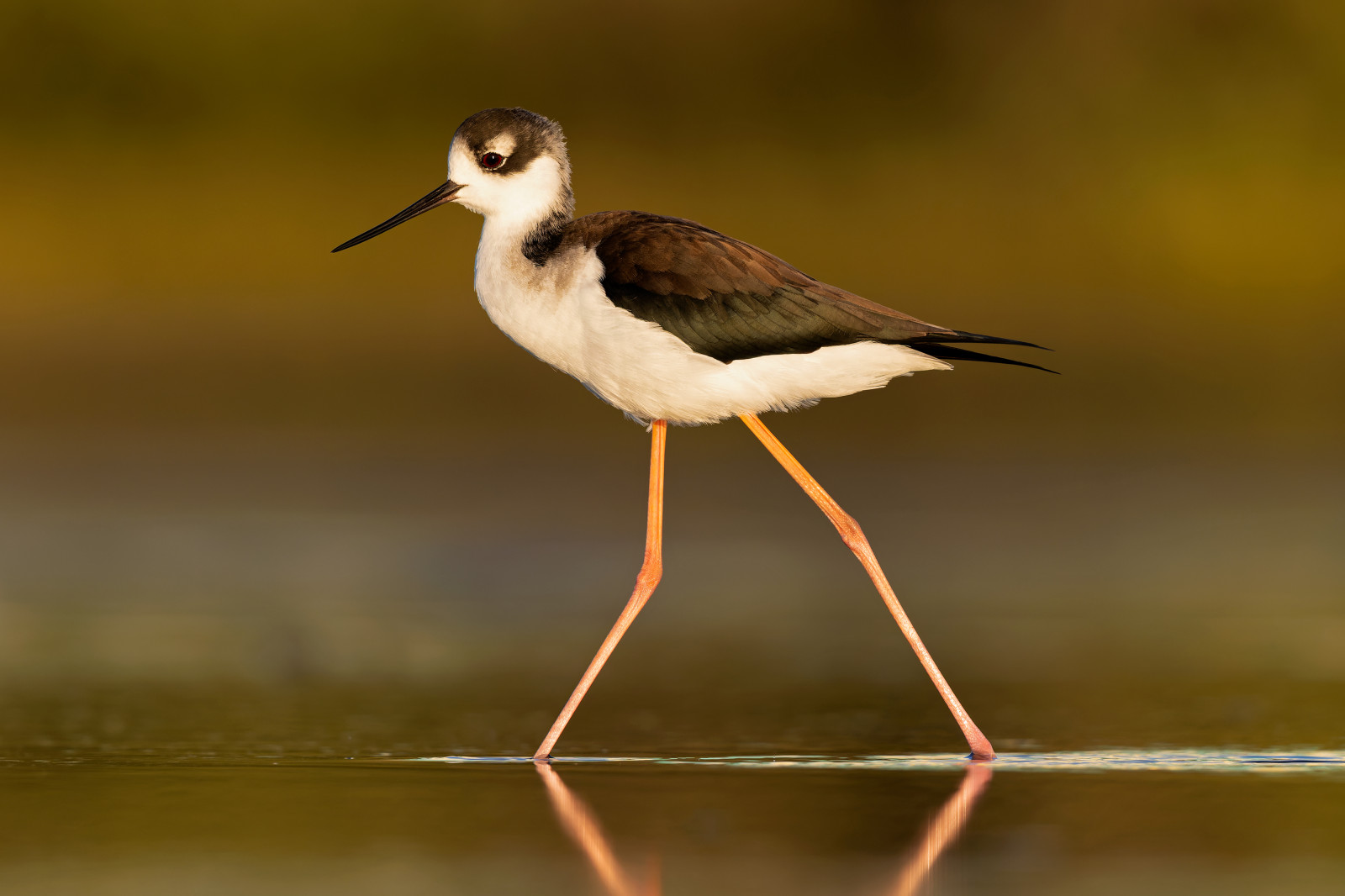
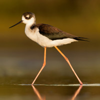
The refuge's diversity of habitats supports waterfowl, wading birds, shorebirds, and songbirds. More than 30 species of shorebirds have been recorded at the refuge, and on a good day in August visitors can see numbers of Black-necked Stilt, Semipalmated Plover, Stilt Sandpiper, Pectoral Sandpiper, Wilson's Snipe, Solitary Sandpiper, Greater Yellowlegs, Lesser Yellowlegs, Short-billed Dowitcher and Long-billed Dowitcher.
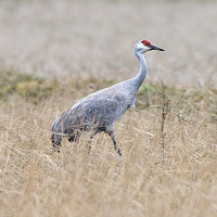
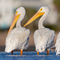
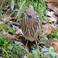
Breeding birds include King Rail, American Bittern, Pied-billed Grebe, Northern Bobwhite, Prothonotary Warbler and Dickcissel. Birds that often can be spotted include Sandhill Crane, Bald Eagle, Northern Harrier, Belted Kingfisher and American White Pelican.
Detalhes
Acesso
Clarence Cannon National Wildlife Refuge is located on the Mississippi River about 50 miles north of St. Louis. To get to the refuge, take Missouri State Highway 79 to the town of Annada, Missouri. From Annada, travel one mile east on Pike County Road 206. Press P on the map for directions to a parking.
There is no charge to visit Clarence Cannon NWR. Restrooms are available inside the refuge headquarters and visitor center during regular business hours. The visitor center has exhibits on the Mississippi Flyway and the river environment. Some areas of the refuge are accessible by hiking only. Most trails are along the tops of levees within the refuge, acccessible only when dry.
 ) para inserir nomes de aves no seu idioma. Os nomes das aves serão traduzidos automaticamente para outros utilizadores!