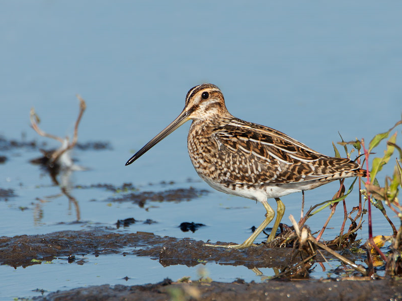

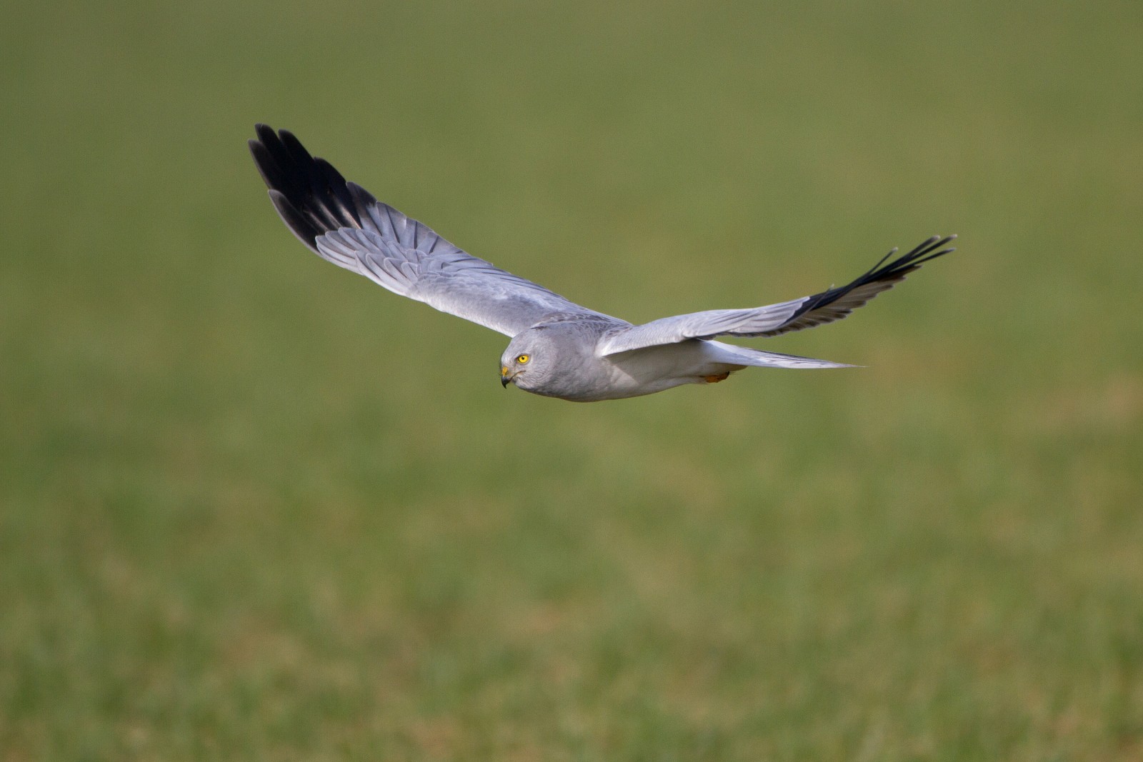
Description
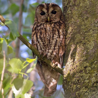
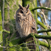
The Wijngaardberg is one of the last untouched sandbank hills in the region. These hills are the remnants of sandbanks from the time when the sea still reached here. Winter streams cut through the steep slopes. Today, the Wijngaardberg is a nice combination of vineyards, orchards, forest and heathland. In winter, drozd čvíkota feast on the remaining fruit on the plateau. The laugh of the žlna zelená will always accompany you on your walk. Furthermore, the Wijngaardberg is home to a rich variety of plants.
_________________________
Nederlands: De Wijngaardberg is één van de laatste onaangetaste Diestiaanheuvels uit de regio. Deze heuvels zijn restanten van zandbanken uit de tijd dat de zee nog tot hier reikte. De ondergrond bestaat uit rode zanden vermengd met ijzerzandsteen. Dellen of winterbeken doorsnijden de steile hellingen en voeren het overtollige water af naar de Winge. Tegenwoordig is de Wijngaardberg een bonte combinatie van wijngaarden, boomgaarden, bos en heide. In de winter doen drozd čvíkotas zich te goed aan het overgebleven fruit op het plateau. De lach van de žlna zelená vergezelt je steevast op je wandeling. Verder herbergt de Wijngaardberg een rijke variatie aan planten, waaronder blauwe bosbes, tormentil, struikhei, gewone dophei, grasklokje, dubbelloof, mannetjesereprijs, blauwe knoop en liggende vleugeltjesbloem.
Details
Access
Wijngaardberg is located in the municipality of Rotselaar, directly east of Wezemaal. Press P on the map for directions to a parking lot. The circular walk shown on the map is approximately 2.5 km.
_________________________
Nederlands: De Wijngaardberg ligt in de gemeente Rotselaar, direct ten oosten van Wezemaal. Druk op P in de kaart voor een routebeschrijving naar een parkeerplaats. De rondwandeling die is weergegeven op de kaart is ongeveer 2,5 km.

 ) to insert bird names in your own language. The birdnames will automatically be translated for other users!