Description
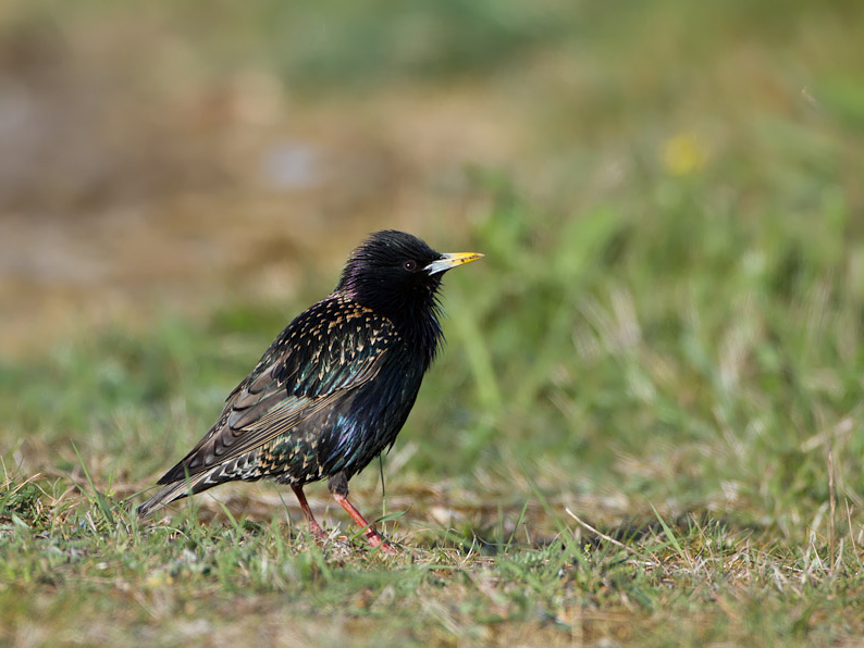
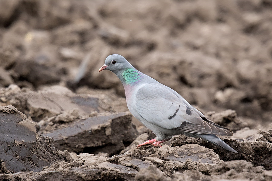
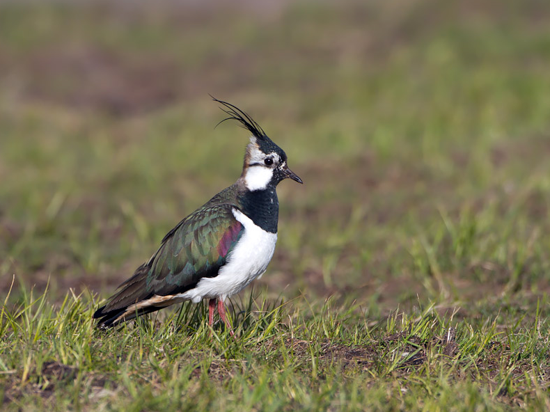
The Rucphense Achterhoek is a varied area. This route takes you past a small heathland, fields, woods, ponds and meadows. You will see parts of the Nature Network Brabant (NNB), such as the various woods, the dry ecological corridor Posthoorn Noord and the wet ecological corridor Zwarte Sloot. The local nature working group is committed to healthy biodiversity. Especially in spring you will see colorful fields of flowers here.
_________________________
Nederlands: De Rucphense Achterhoek is een afwisselend gebied. Deze route leidt je langs open velden die nog niet veel mensen kennen. Het gevarieerde rondje leidt langs een heideveldje, langs akkers, bosjes, langs poelen en langs weilanden. Je ziet delen van het Natuur Netwerk Brabant (NNB), zoals de diverse bosjes, de droge ecologische verbindingszone Posthoorn Noord en de natte ecologische verbindingszone Zwarte Sloot. De lokale natuurwerkgroep houd zich bezig met een gezonde biodiversiteit. Vooral in het voorjaar zie je hier kleurrijke velden met bloemen.
Details
Access
The Rucphense Achterhoek lies north of the village of Rucphen and west of Sint Willebrord. There are no designated parking spaces in this area. However, it is easily accessible on foot from the surrounding villages where you can park. The route shown on the map is approximately 6 km.
_________________________
Nederlands: De Rucphense Achterhoek ligt ten noorden van het dorp Rucphen en ten westen van Sint Willebrord. Er zijn geen aangewezen parkeerplaatsen in dit gebied. Maar het is langs de verschillende kanten goed aan te lopen vanuit de omliggende dorpskernen waar je kunt parkeren. De route die op de kaart is aangegeven is ongeveer 6 km. De route is ontworpen door natuurwerkgroep Rucphen. Dichtbij is de Heemtuin te bezoeken.
 ) to insert bird names in your own language. The birdnames will automatically be translated for other users!