
Description
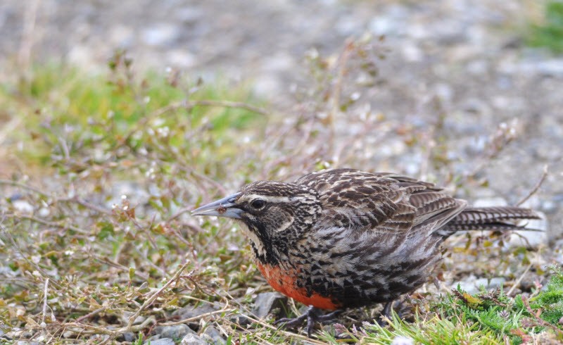
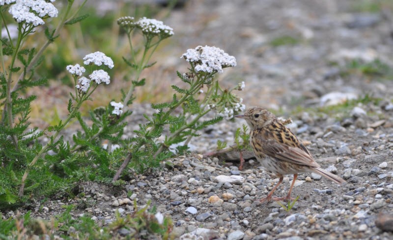
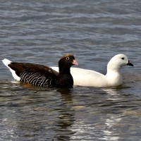
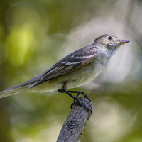
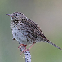
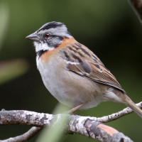
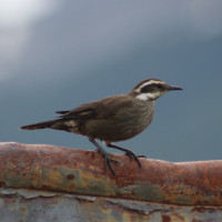
Tierra del Fuego National Park extends for 60 km north of the Beagle Channel, along the border with Chile. The park has an area of approximately 630 km² and includes parts of Lake Fagnano and Roca at Lapataia Bay on the south coast. The park contains waterfalls, forests, mountains and glaciers. Over 100 bird species have been recorded in the national park. Birds you can observe include Kelp Goose, Upland Goose, Chimango Caracara, Andean Condor, Blackish Oystercatcher, Great Grebe, Magellanic Woodpecker, Austral Parakeet, Fire-eyed Diucon, Patagonian Rufous-collared Sparrow, Austral Thrush, Patagonian Sierra-Finch and several species of cormorants, ducks and gulls.
Some walks include the Senda Castorera, Paseo del Mirador, Paseo del Turbal, Senda Laguna Negra, Senda Pampa Alta, Senda Cerro Guanaco and the Senda da Costera. Some of these walks are indicated on the map. Click a P in the map for directions to a starting point.
Details
Access
Tierra del Fuego National Park is located in the extreme southwest of Argentina’s Tierra del Fuego Province, about 10–12 km west of Ushuaia, along National Route 3. It borders Chile and stretches north from the Beagle Channel into the subantarctic forests and mountains.
The site is easy to reach from Ushuaia by car. There is a bus connection from the city to the park, as well. People who arrive by plane and leave by boat for the Falkland Islands and Antartica, can walk into the area from the boat dock.
 ) to insert bird names in your own language. The birdnames will automatically be translated for other users!