
Description
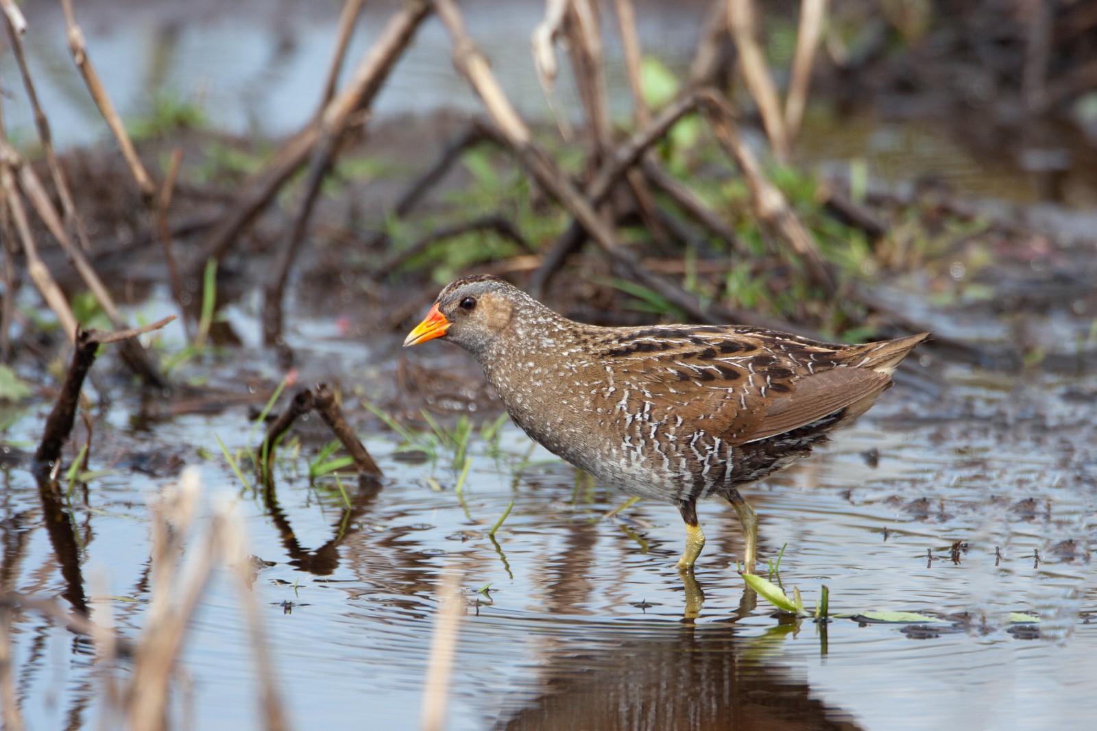
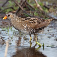
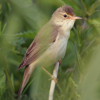
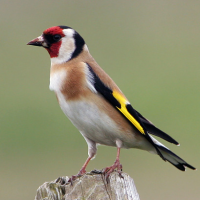
GGG Zennegat is an old river arm of the Dyle. It is now a fresh water area with mud flats and salt marshes. A sluice was built in the dike along the river Dijle, so that a part (reduced) of the flood through that sluice flows into the area twice a day and that water also flows back through this sluice back to the Dyle twice a day. This creates a varying system of ebb and flow in the area, and slowly but surely a unique area of channels and creeks and salt marshes returns. This nature reserve is therefore becoming increasingly attractive for water and marsh birds. Among the birds you can see here are Savi's Warbler, Spotted Crake, Little Egret and Western Marsh Harrier.
_________________________
Nederlands: GGG Zennegat is een oude rivierarm van de Dijle. Het is nu een zoetwatergebied met slikken en schorren. Langs de rivier de Dijle is in de dijk een sluis gebouwd, zodat een deel (verminderd) van de overstroming door die sluis twee keer per dag het gebied instroomt en dat het water ook twee keer per dag via deze sluis terugstroomt naar de Dijle. Hierdoor ontstaat een wisselend systeem van eb en vloed in het gebied en keert langzaam maar zeker een uniek gebied van geulen en kreken en schorren terug. Dit natuurgebied wordt daardoor steeds aantrekkelijker voor water- en moerasvogels. Onder de vogels die je hier kunt zien zijn Savi's Warbler, Spotted Crake, Little Egret en Western Marsh Harrier.
Details
Access
On the belt of Mechelen (R12), take the exit North-West 'Battelse Steenweg'. Follow this road direction Battel. You will drive under the major motorhighway E19. A 100m later the road will split in three: choose the right one: the 'Hoge Weg'. Follow this winding 'Hoge Weg' up North until you end up at a canal. Drive North along this canal (road is called 'Zennegatvaart') until the road stops at a lock on the canal. There are a few parkingspots available. GPS 51.063104, 4.431236. A circular walk is about 3 km.
_________________________
Nederlands: Neem op de rondweg van Mechelen (R12) de afrit Noord-West 'Battelse Steenweg'. Volg deze weg richting Battel. U rijdt onder de grote autosnelweg E19 door. 100 meter later splitst de weg zich in drieën: kies de juiste: de 'Hoge Weg'. Volg deze kronkelende 'Hoge Weg' naar het noorden tot je bij een kanaal uitkomt. Rijd langs dit kanaal in noordelijke richting (de weg heet 'Zennegatvaart') tot de weg stopt bij een sluis in het kanaal. Er zijn enkele parkeerplaatsen beschikbaar. GPS 51.063104, 4.431236. Een rondwandeling is ongeveer 3 km.

 ) to insert bird names in your own language. The birdnames will automatically be translated for other users!