Description
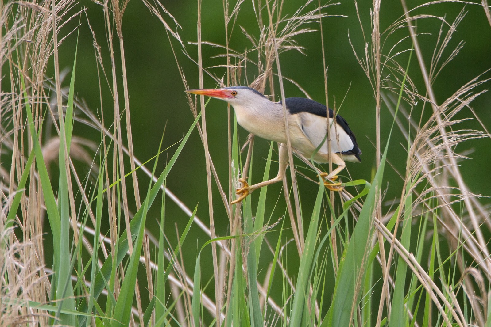
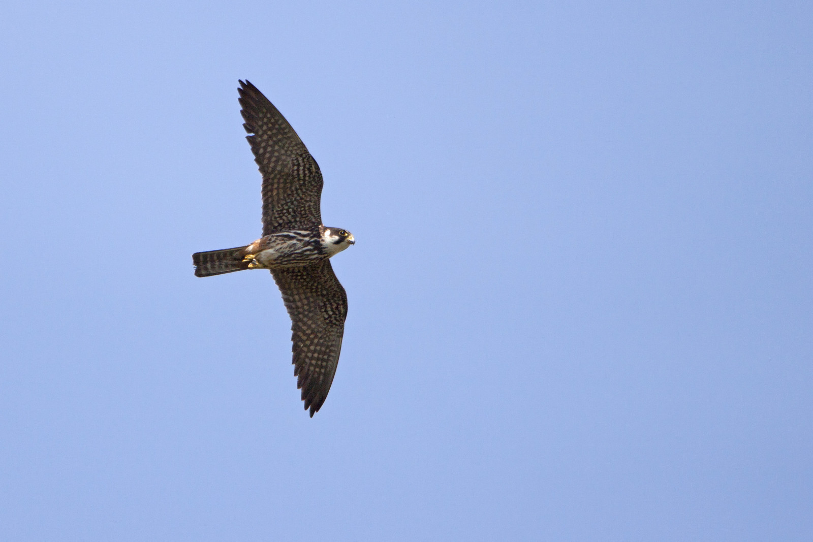
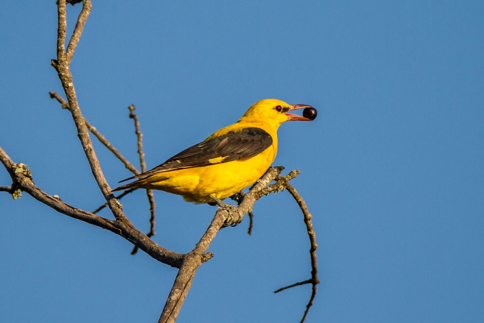
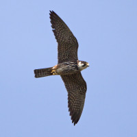
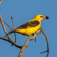
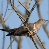
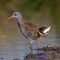
The Chabaud Latour lake is a mining subsidence lake less than four kilometres from the Belgian border. It is part of a complex of semi-natural environments of about 250 hectares where the "Canardaud-Latour marshes and Chabaud-Latour pond" constitute a complex of about 150 hectares of wetlands in the upper Scheldt basin. The adjacent environments are tree plantations, woods, lawns, wastelands and mining dumps. During the winter period the birds include an abundance of dabbling ducks and other wintering birds. But also in other seasons many other nice birds can be seen like Golden Oriole, Common Nightingale, Bluethroat, Little Bittern, Common Cuckoo, Reed Bunting, Cetti's Warbler, Common Kingfisher and Black-crowned Night Heron.
_________________________
Français: L'étang de Chabaud-Latour est un lac d'affaissement minier au nord-est de Condé-sur-Escaut, à moins de quatre kilomètres de la frontière belge, dans le Nord-Est de la région Hauts-de-France, dans le PNR (parc naturel régional Scarpe-Escaut). Il fait partie d'un complexe de milieux semi-naturels d'environ 250 hectares où les « marais de la Canarderie et étang de Chabaud-Latour » constituent un ensemble d'environ 150 hectares de zones humides, dans le haut du bassin de l'Escaut. Les milieux adjacents sont des plantations d'arbres (peupleraies), bois, pelouses, friches, et terrils miniers. Le site a été requalifié avec l'aide de l'EPF et du PNR et du conseil général (Espace naturel sensible).
Details
Access
You can make a circular walk of about 6,5 km (see the map below). But you can take different routes, there are many walking trails in the area. Click on the P in the map to get directions to a parking.
_________________________
Français: Vous pouvez faire une promenade circulaire d'environ 6,5 km (voir le plan ci-dessous). Mais vous pouvez emprunter différents itinéraires, il existe de nombreux sentiers pédestres autour des lacs. Cliquez sur le P sur la carte pour obtenir les directions vers un parking.
 ) to insert bird names in your own language. The birdnames will automatically be translated for other users!