Description
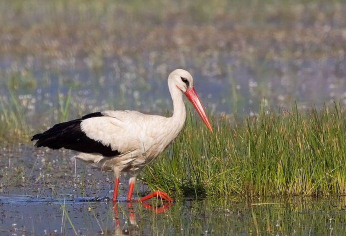
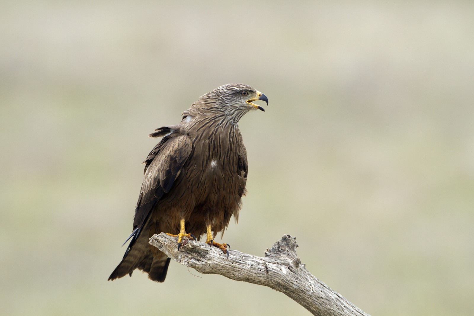
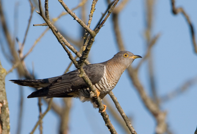
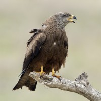
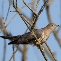
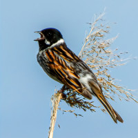
The Gannedel Marsh, part of the vast marshland complex around Redon in the southernmost tip of the département of Ille-et-Vilaine, was formed by the confluence of the Vilaine and Canut rivers. It is an important area and one of the département's most extensive wetlands. Gannedel is the natural habitat of many species of bird throughout the year but it is in spring that the marsh is at its most interesting. The vast reed beds and wetlands provide the nesting sites for many birds such as White Stork, Black Kite, Western Marsh Harrier, Common Cuckoo, Eurasian Skylark, Zitting Cisticola, Reed Bunting, Yellowhammer, Great Egret, Cattle Egret, Bluethroat and Cetti's Warbler.
_________________________
Français: Espace naturel situé au cœur des marais de Vilaine, espace l'une des plus grande zones humides du département. Le marais compte deux plans d’eau, des prairies humides inondables, une roselière (80 ha) et des cours d’eau de faible profondeur. Le marais de Gannedel s’est formé à l’endroit où le Canut rejoint la Vilaine, au gré de l’évolution du niveau de la mer depuis 8000 avant J.-C. Ce site de 500 hectares est aujourd’hui classé en zone naturelle d’intérêt écologique faunistique et floristique (ZNIEFF). Il fait partie du réseau Natura 2000. Il accueille plus d’une centaine d’espèces d’oiseaux tout au long de l’année. Mais c’est au printemps qu’il révèle le mieux tous ses secrets.
Details
Access
You can access the area via the RD 56, towards La Chapelle-de-Brain. Click on the P in the map for directions. You can make a circular walk of 6 km around the wetland. Note: as this is a wet area, bring suitable shoes.
_________________________
Français: Accès : En voiture, par la RD 56, en direction de La Chapelle-de-Brain. Vous pouvez faire une promenade circulaire de 6 km autour de la zone humide. Il s’agit d’une zone humide. Prévoyez des chaussures adaptées.
 ) to insert bird names in your own language. The birdnames will automatically be translated for other users!