Description
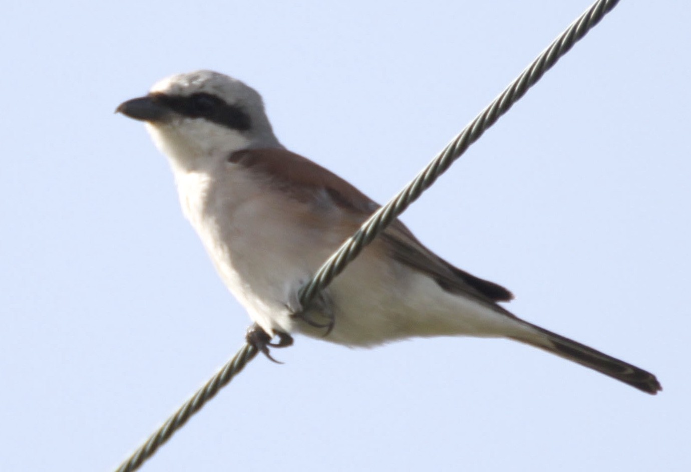
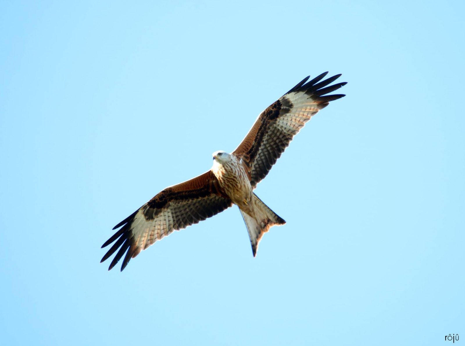
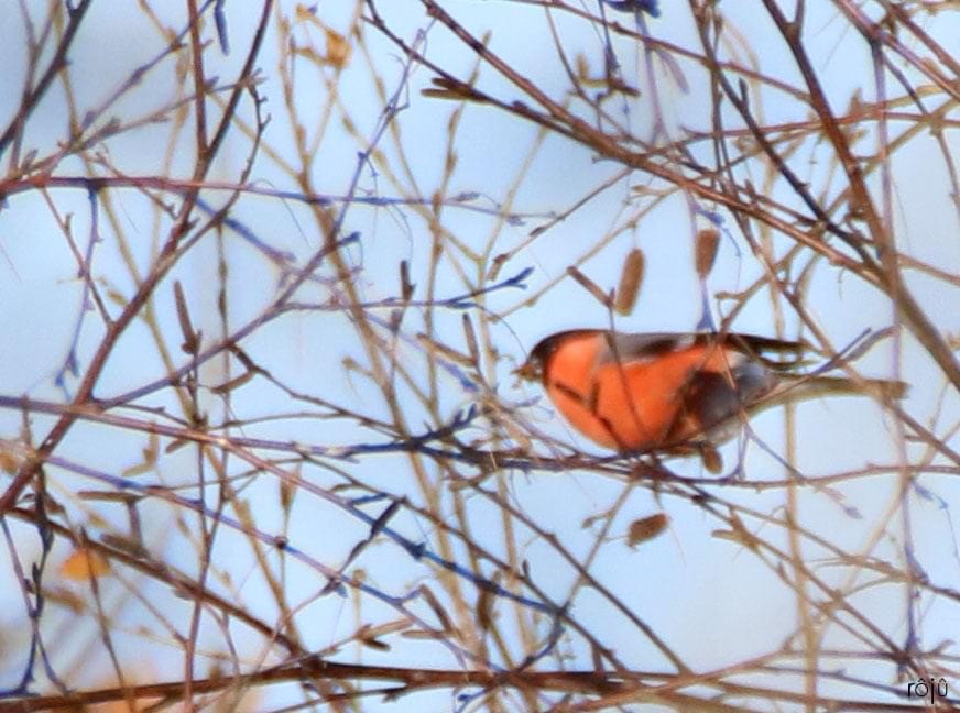
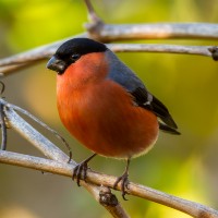
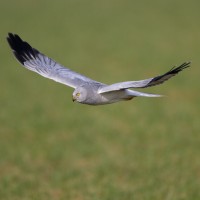
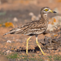
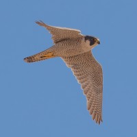
Le Mont du Saule (Mount Willow) in Hardanges is a natural area covering more than 260 ha where the moors intersect with large meadows and woods. Its highest point is situated at 327m altitude and offers a 360 * viewpoint. There are hiking trails and the fauna and flora are rich in all seasons. You can observe Hen Harrier, Peregrine Falcon, Eurasian Hobby, Red Kite, White Stork, Black Stork, Red-backed Shrike, Eurasian Bullfinch, Stone-curlew and many others, see the birdlist below.
_________________________
Français: Le Mont du Saule à Hardanges est un petit écrin de verdure sur plus de 260 ha au relief marqué avec des landes, des grandes prairies et des boisements. Son point culminant se situe dans un bois de conifères à 327m d'altitude et offre un point de vue à 360*. On y trouve des sentiers de randonnées. La faune et la flore y sont riches en toutes saisons. Cervidés, sangliers, renards, fouines, blaireaux y sont présents. PLUS DE 80 ESPÈCES D'OISEAUX : Vous pourrez y observer : Busard Saint Martin, Faucon crécerelle, Faucon pélerin, Faucon hobereau, Buse variable, Épervier d'Europe. Quelques espèces peu communes comme la Cigogne blanche et noire, Milan Royaux viennent y faire une pause à l'occasion des migrations. On y trouve aussi la Grande Aigrette, la Pie grièche écorcheur, le Bouvreuil pivoine, le Pic mar, le Pic épeiche, le Grosbec casse-noyaux, le Bruant des Roseaux, le Bruant zizi, le Bruant jaune, la Bécasses des bois et beaucoup d'autres !
Details
Access
Park at a place called "Le centre". There are 3 hiking loops (2 km, 4 km, 6 km). Visit this site on foot, by bike or on horseback! Another access is possible. Park your vehicle at a place called "La grange Hamelin" at the level of an old silo and take the path opposite (towards the wind turbines) you will join the footpath there. Click on a P in the map to get directions to that place. The circular walking route on the map is 5,5 km long.
_________________________
Français: Se garer au lieu dit "le centre". 3 boucles pédestres (2km, 4km, 6km). Visitez ce site à pieds, en vélo ou à cheval ! Un autre accès est possible. Posez votre véhicule au lieu dit "la grange Hamelin" au niveau d'un ancien silo et prendre le chemin en face (vers les éoliennes) vous y rejoindrez le sentier pédestre. Cliquez sur un P sur la carte pour obtenir les directions vers cet endroit. L'itinéraire de marche circulaire sur la carte est de 5,5 km.
 ) to insert bird names in your own language. The birdnames will automatically be translated for other users!