

Description
Parc de l’Abbaye de Liessies is a 48‑hectare historic park where the gardens and hydraulic works of a Benedictine abbey founded in the 8th century have survived, offering a blend of cultural heritage and rich natural habitats. Though the abbey buildings were largely destroyed during the French Revolution, the gardens, waterways, and parkland created by the monks in the 17th century remain intact. Today, the site is part of the Parc naturel régional de l’Avesnois, and it is managed as both a cultural and ecological treasure.
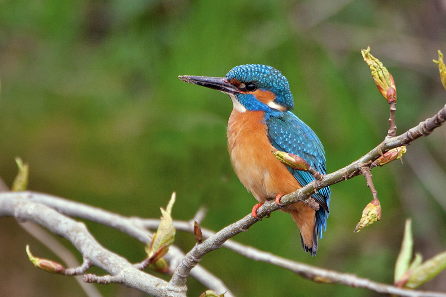
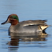
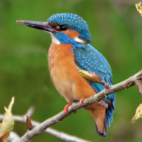
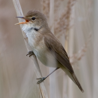
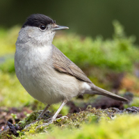
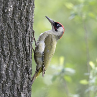
Within the park you can find woodland, reedbeds, ponds, wet meadows, and orchards. All these different habitats attract plenty of birds. Among the birds you can encounter are Tufted Duck, Eurasian Teal, Common Kingfisher, Reed Warbler, Cetti's Warbler, Blackcap, White Wagtail, Great Spotted Woodpecker, Eurasian Green Woodpecker, Eurasian Nuthatch and Mute Swan.
_________________________
Français: Le Parc de l’Abbaye de Liessies, situé dans le Parc naturel régional de l’Avesnois (Nord, Hauts‑de‑France), est un vaste domaine de 48 hectares mêlant patrimoine historique et nature préservée. Héritage d’une ancienne abbaye bénédictine fondée au VIIIᵉ siècle, il conserve ses jardins, ses vergers centenaires et ses systèmes hydrauliques. Aujourd’hui, c’est un lieu paisible propice à la promenade, à l’observation des oiseaux et à la découverte des paysages verdoyants des premières collines de l’Ardenne.
Details
Access
Parc de l’Abbaye de Liessies is located about 15 km south of Maubeuge, in the village of Liessies, near the Belgian border. It’s reachable by car via the D133/D134 roads, with parking available near the abbey grounds. Press P on the map for directions to the parking. The circular walk shown on the map is about 3 km.
_________________________
Français: Le parc de l’abbaye de Liessies se situe à environ 15 km au sud de Maubeuge, dans le village de Liessies, près de la frontière belge. On y accède en voiture par les routes D133/D134 ; un parking est disponible à proximité de l’abbaye. Appuyez sur P sur la carte pour obtenir l’itinéraire jusqu’au parking. Le circuit pédestre indiqué sur la carte fait environ 3 km.
 ) to insert bird names in your own language. The birdnames will automatically be translated for other users!