
Description
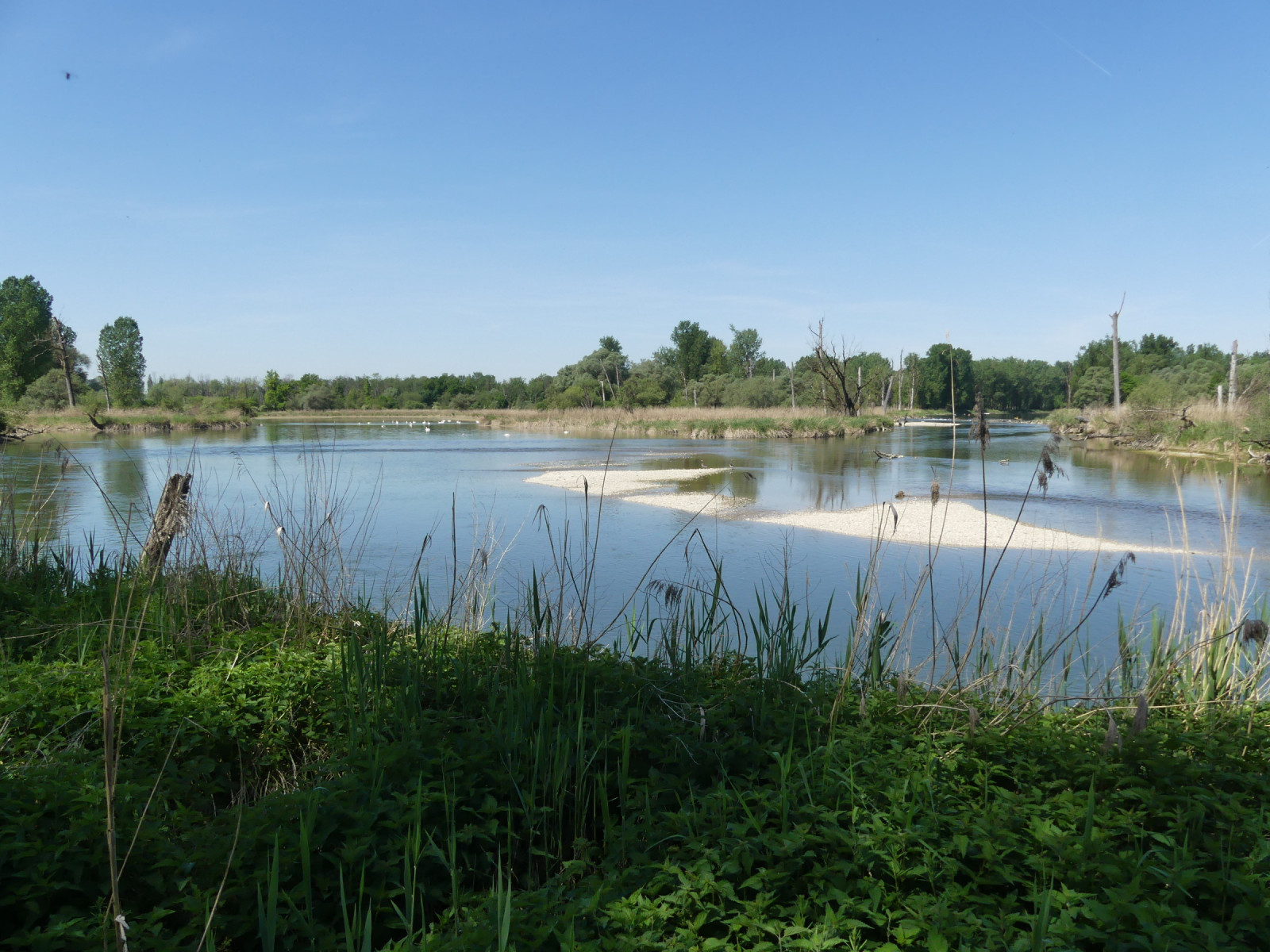
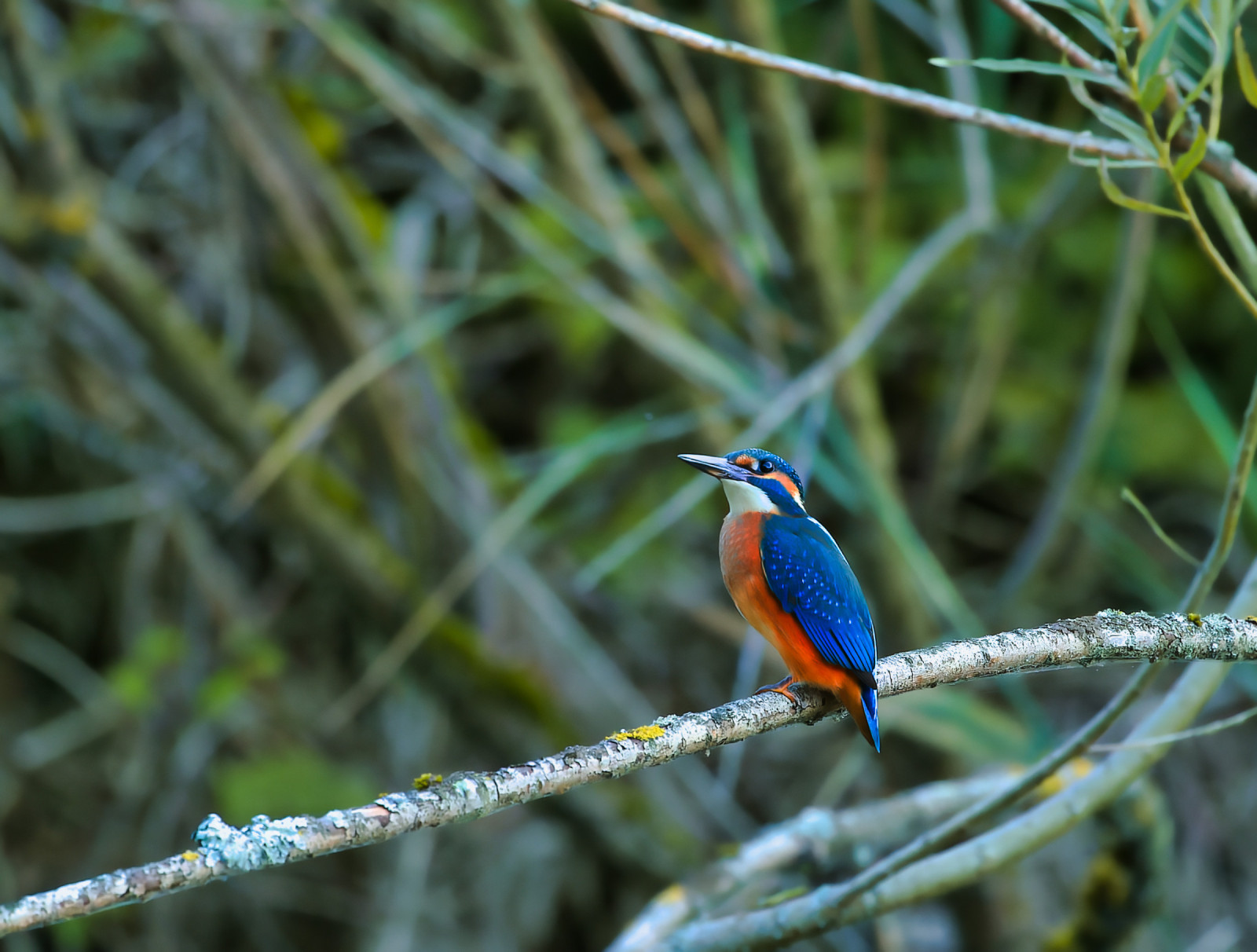
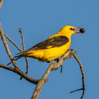
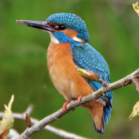
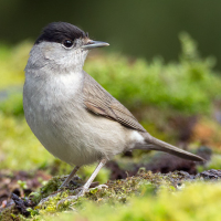
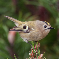
At the Isarmündung, on the edge of the Bavarian Forest, the Isar flows into the Danube. A unique floodplain landscape where the river Isar designed diverse and very different floodplain habitats. In order to make the wetlands and wet forests accessible to visitors, the Infohaus Isarmündung with its hiking trails and bird observation tower was set up. You can see many birds in every seasons. Among the birds you can encounter are: Greylag Goose, Mute Swan, Eurasian Coot, Common Tern, Grey-headed Woodpecker, Eurasian Green Woodpecker, Golden Oriole, Goldcrest, Grey Wagtail and Blackcap.
Details
Access
The Isar Estuary Information Centre can be reached by car via Bundesstraße 8 (Passauer Straße) between Plattling and Osterhofen or by bicycle on the Isar or Danube Cycle Path. The area is located about 5 km from Deggendorf train station. Isar Estuary Information Centre: Maxmühle 3, D-94554 Moss. Click on the P in the map to get directions.
 ) to insert bird names in your own language. The birdnames will automatically be translated for other users!