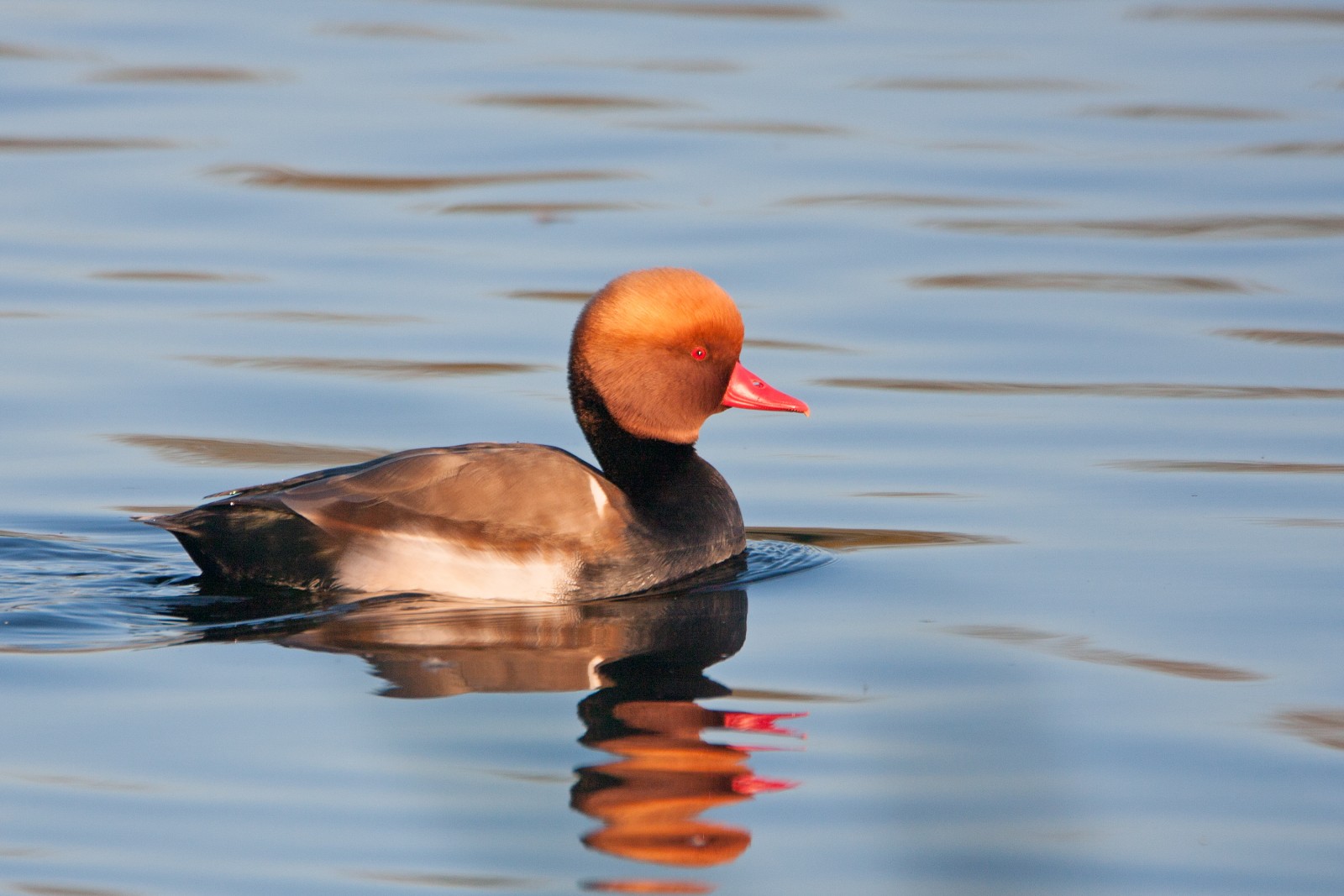
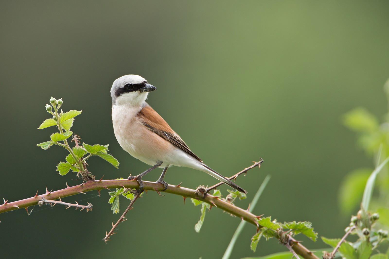
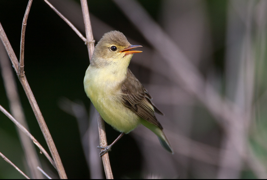
Description
The Kühkopf is an island created by the Upper Rhine and one of its oxbow lakes, which was created in 1829 when the Rhine was straightened out. Natural dynamics combined with high structural diversity are the basis for an extraordinary wealth of species. The various species lists also show an extremely high proportion of particularly endangered species.
Details
Access
Bus: Bus routes 28, 41, 48, K62 to the Riedstadt-Leeheim Bensheimer Hof stop. Parking lot in front of the floodplain forest. Click on the P in the map to get directions. A tour of the Kühkopf island on the Rhine leads mostly over the old summer dykes and is around 17 kilometers long. On the map an 18 km walking trail is shown, with the possibility for a shortcut halfway.
Terrain and Habitat
Forest , River , Grassland , WetlandConditions
Flat , Open landscapeCircular trail
YesIs a telescope useful?
Can be usefulGood birding season
All year roundBest time to visit
SpringRoute
Paved roadDifficulty walking trail
EasyAccessible by
Foot , BicycleBirdwatching hide / platform
NoExtra info
The nature reserve is well equipped with approx. 60 kilometers of cycling and hiking trails. The best place to start is in the environmental education center in the north wing of the Gunterhausen estate. There you will find maps and other diverse information about the protected area.
 ) to insert bird names in your own language. The birdnames will automatically be translated for other users!