Description
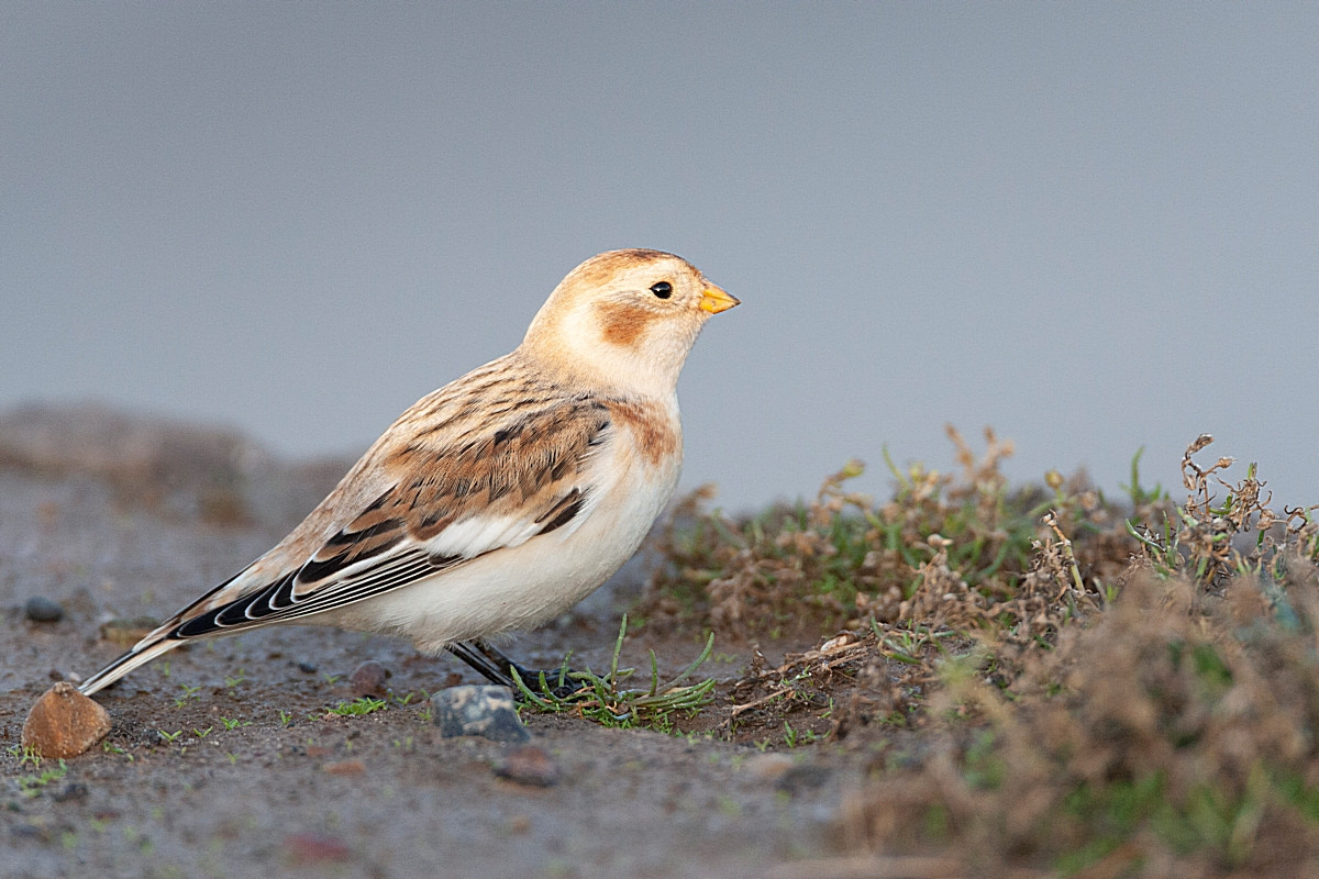
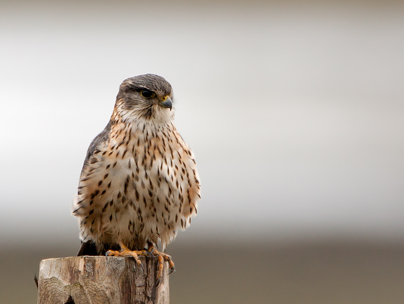
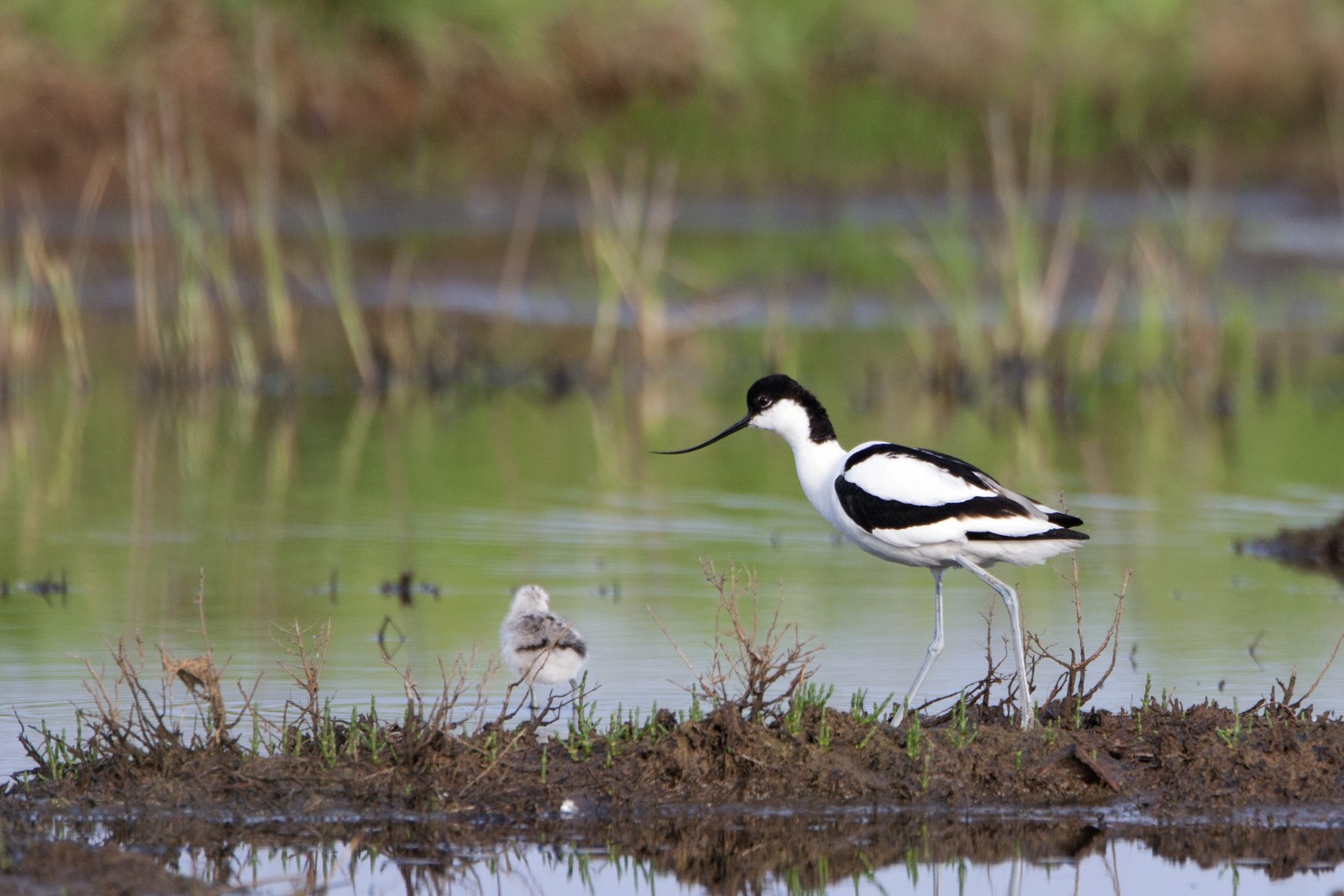
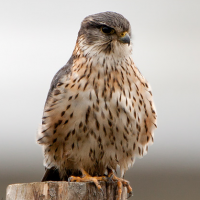
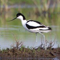
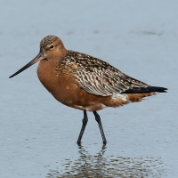
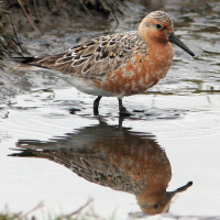
The Noarderleech is part of Noard Fryslan Butendyks. On the west side of the area is an old “bunker” with a flat roof that is very suitable as a lookout point over the salt marshes and mudflats. The vastness of the landscape with views over the mudflats and salt marsh with beautiful cloudy skies and many species of birds is impressive. In winter and spring it's full of Barnacle Goose and Brent Goose. Large groups of waders sit on the salt marshes during high tide and breed in colonies and grasslands. These are groups of Red Knot, Bar-tailed Godwit, Dunlin and nesting Avocet. Peregrine Falcon are increasingly being observed as well as migrating White-tailed Eagle, harriers and Merlin.
_________________________
Nederlands: Buitendijks gebied van zomerpolders met drinkdobben, kwelders en slikvelden. Het Noarderleech is een deelgebied van Noard Fryslan Butendyks. Aan de westzijde in het gebied staat een oude “bunker” met een platdak dat zeer geschikt is als uitkijkpunt over de kwelders en wad. De weidsheid van het landschap met vergezichten over het Wad en kwelder met fraaie wolkenluchten en vele soorten vogels is imposant. In de winter en het voorjaar ziet het er zwart van de brand- en rotganzen. Grote groepen steltlopers zitten op de kwelders tijdens hoogwater en broeden in kolonies en de graslanden. Dan gaat het om groepen kanoeten, rosse grutto’s, bonte strandlopers en broedende kluten. Slechtvalken worden steeds meer waargenomen evenals langs trekkende zeearenden, kiekendieven en smelleken.
Details
Access
From Nieuwebildtzijl drive in the direction of Zeedijk to the parking lot at the information center and from there you can continue walking on a paved path of about 3 km to the viewpoint.
_________________________
Nederlands: Vanuit Nieuwebildtzijl rijden richting Zeedijk naar parkeerterrein bij informatiecentrum en vandaar uit kan verder gewandeld worden over een verhard pad van ongeveer 3 km naar het uitkijkpunt.
 ) to insert bird names in your own language. The birdnames will automatically be translated for other users!