Description
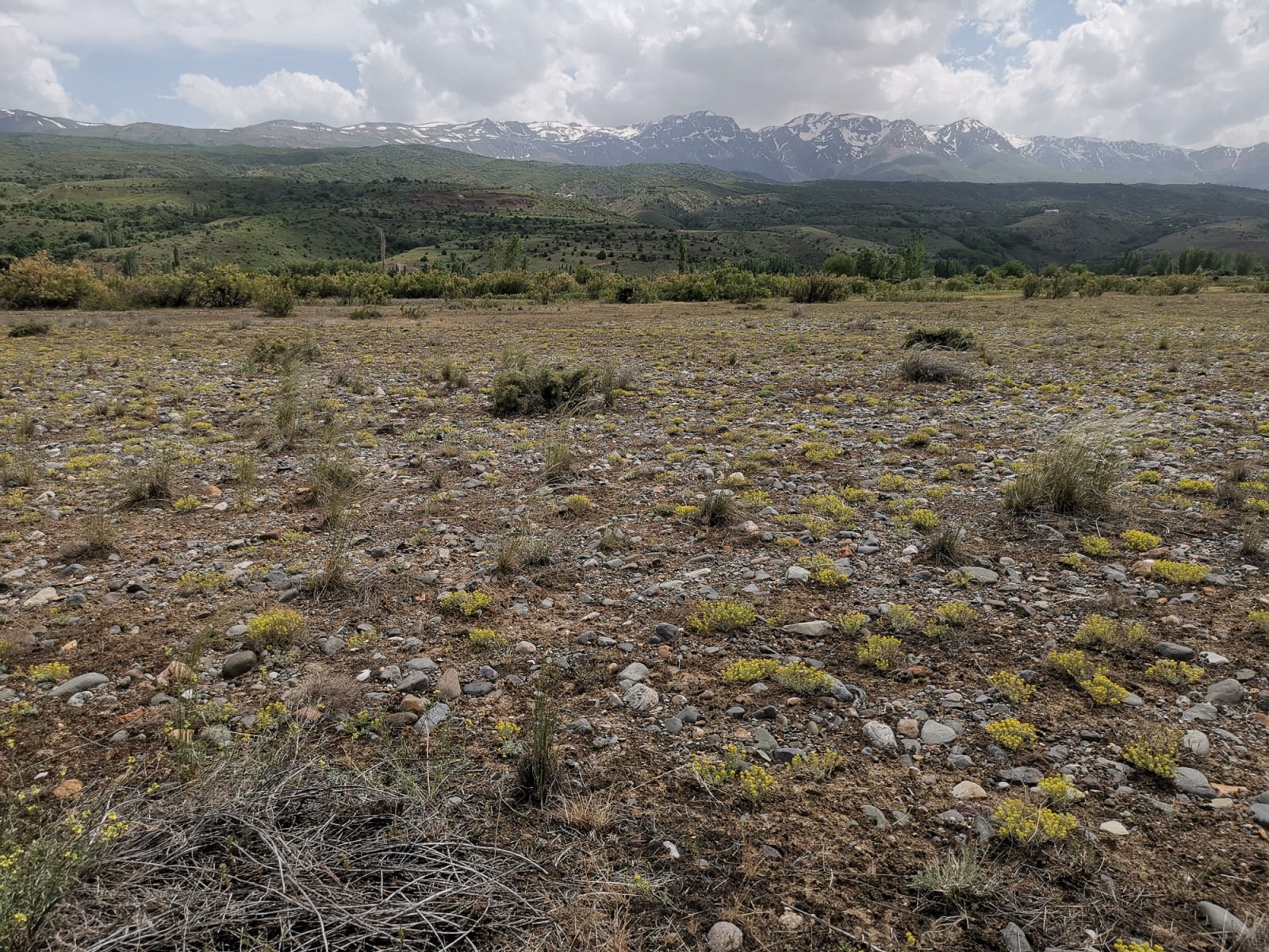
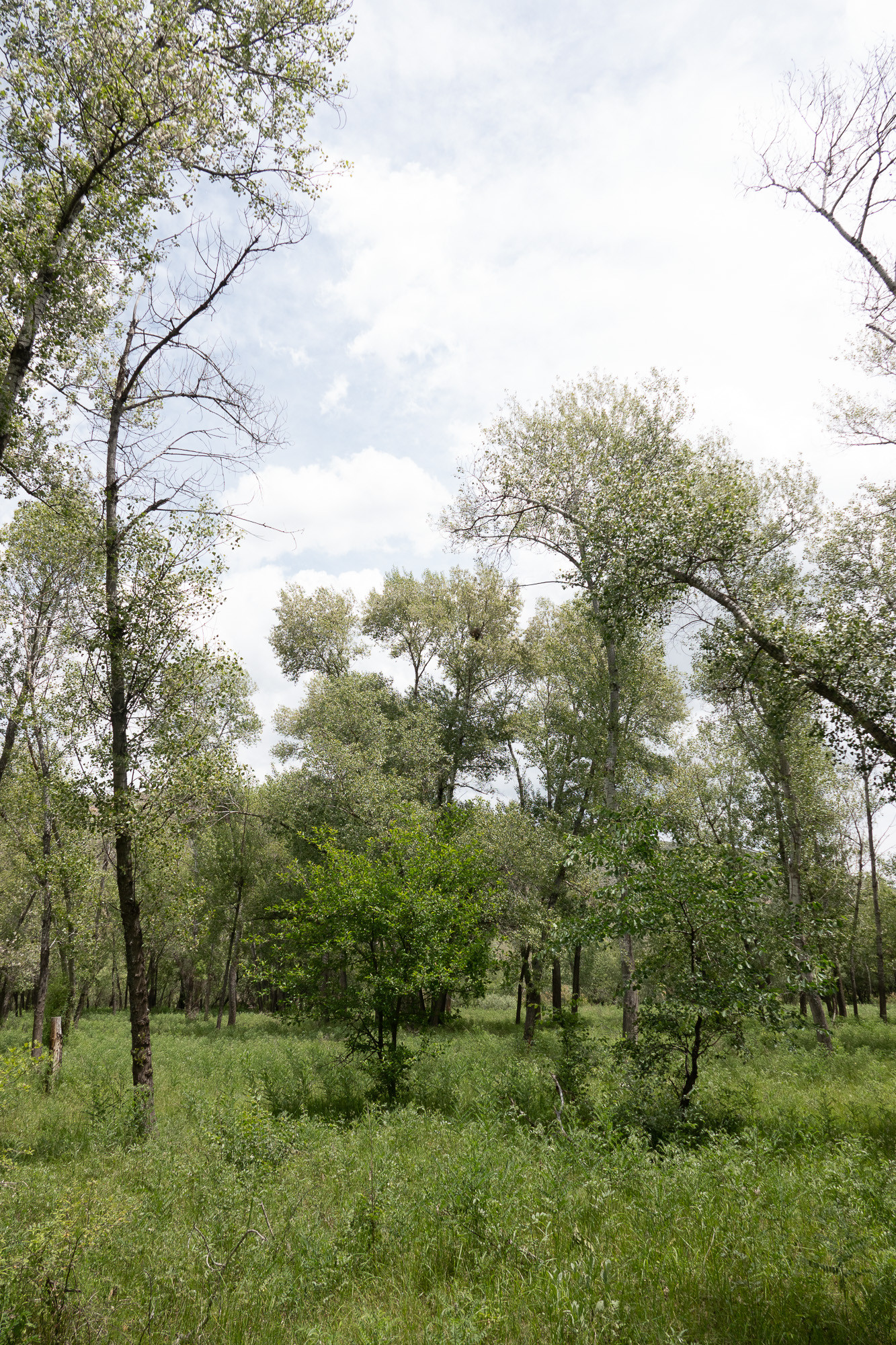
Very diverse habitats along the Euphrates. This area starts at the dam and the lake with surrounding reedbeds which host a number of typical wetland species. The grazed open riparian forest upstream of the lake qualifies as tall and old-growth compared to the otherwise hardly forested region. Further upstream along the Euphrat the forest turns to shrubland and gravel steppe with scattered tamarix shrub. The river itself has formed several arms and islands. The different habitats are accessible on foot from different stops along the dirtroad that runs along the southern side of the river.
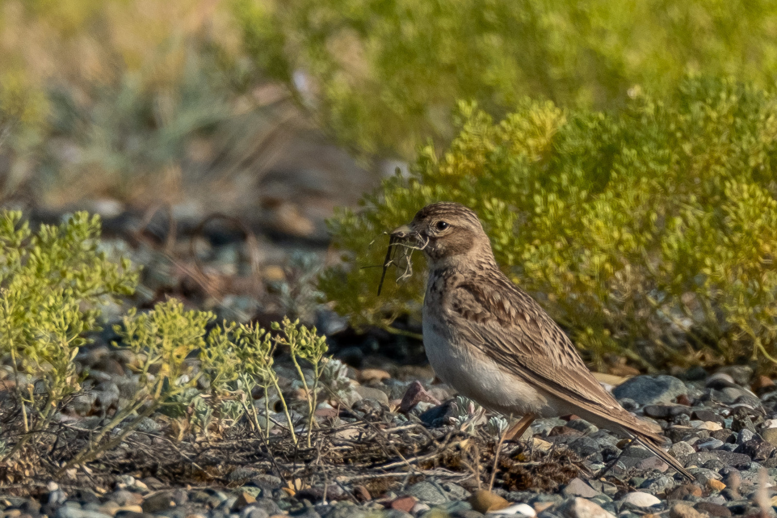
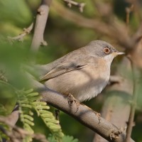
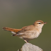
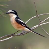
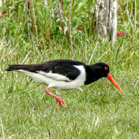
Black-crowned Night Heron are always present downstream of the dam. The reedbeds around the lake apparently host a small colony of Purple Heron, plenty of warblers and Water Rail. Further upstream, the forest holds a number of raptors, songbirds, woodpeckers and owls, as well as Masked Shrike. The gravel steppe and tamarix scrub further upstream may be the most interesting area for many birders. Lesser Short-toed Lark are fairly common here, and there are also some Menetries's Warbler and Rufous-tailed Scrub Robin - all three species are otherwise uncommon in the province and for Menetries's Warbler this might actually be the northwesternmost spot in Türkiye. Other common species in the steppe and shrubland are Eastern Olivaceous Warbler, various shrikes and buntings and Tawny Pipit. Along the river bank and on the islands in the river you will usually find Armenian Gull, Eurasian Oystercatcher, Common Tern, Common Sandpiper, Green Sandpiper, Sand Martin and Little Ringed Plover (bring a scope).
Details
Access
The Euphrat Dam is easily accessible, located along the main road from Erzincan to Erzurum (D100). Turn south at a roundabout toward the Caglayan Selale (a brown sightseeing sign), located approx. 27 km east from Erzincan Center or 14 km west of the juction to Tunceli. Press a P on the map for directions.
There are possible birdwatching spots before and after the bridge to look over the reeds and water, but be aware that there might be a Jandarma checkpoint at the southern end (no birdwatching if police is there, but the checkpoint is not always occupied). There is a dirt road that runs along the southern side of the river valley for approximately 8 km. Stop at suitable places and explore the forest, shrublands, gravel steppe by foot. You will have to drive the same way back to the main highway, or continue to Caglayan or to Erzincan via Caglayan.

 ) to insert bird names in your own language. The birdnames will automatically be translated for other users!