
Description
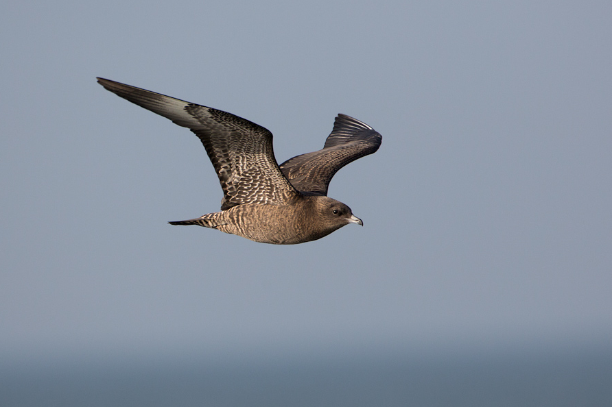
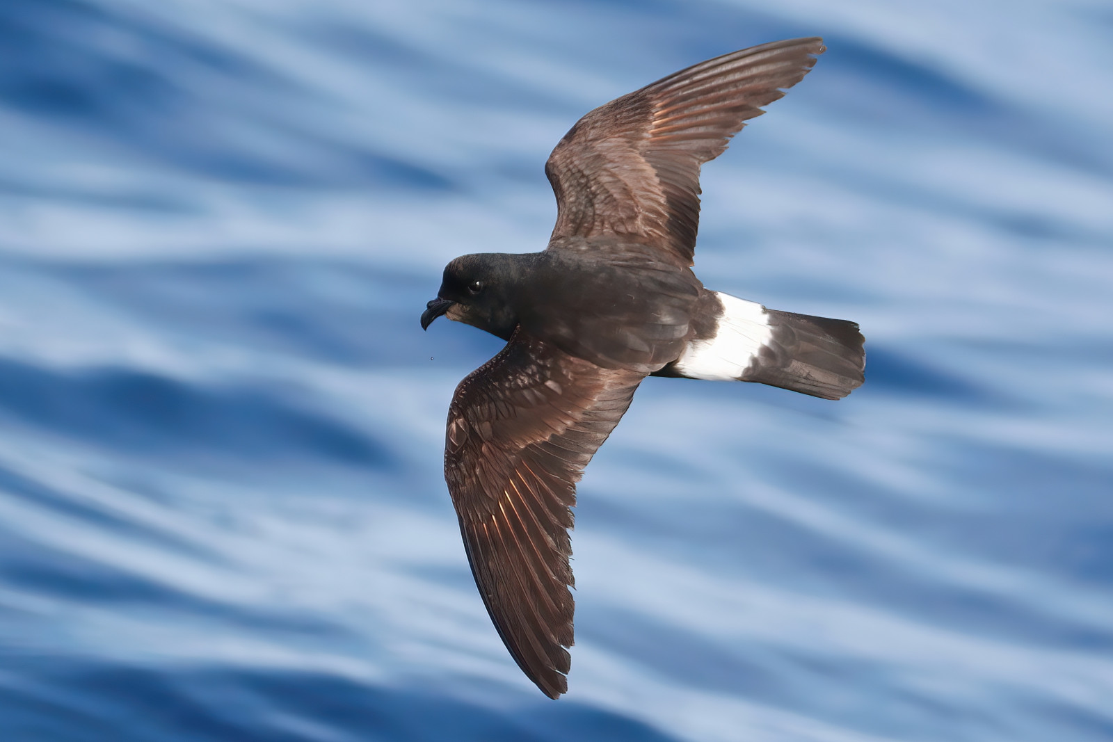
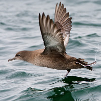
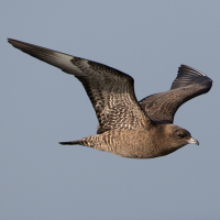
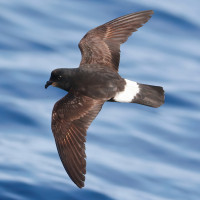
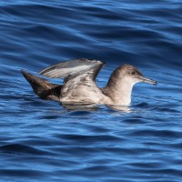
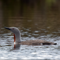
Dodman Point (or locally called The Deadman), is the South Cornwall coasts highest sea cliffs rising up to 374 feet (114 meters), the point is dominated by a 20 foot granite cross, once erected as a religious symbol it is now used as a ship navigational aid. Just inland of the cross is an old coastal watchpoint built in the the late 1700's, living testament to the sensational long distance sea views available here. Whilst the headland is primarily a seawatching point, it does have a good list of landbirds as well such as Garden Warbler, Grasshopper Warbler, Sparrowhawk and Blackcap. For those seawatching Common Scoter, Common Eider, Red-throated Diver and passing European Storm Petrel, Balearic Shearwater and Pomarine Skua depending on season and weather/wind direction.
Details
Access
The A390 main road runs between the village of Grampound (to the West) and the town of St Austell (to the East). Leave Grampound Eastwards on A390 to St Austell. Soon after leaving Grampound look for Right turn sign (often obscured) and turn Right using middle turning lane, this road with high hedges becomes narrow and eventually becomes the B3287, (*A) continue on this road and turn Left signed Portholland/Caerhays/Polmassick Vineyard. At next junction turn Left signed Polmassick/St Ewe, this road becomes very narrow. Continue through Polmassick (Note village sign spells it Polmassick), continue on narrow roads until junction and turn Right signed Gorran/Gorran Haven, this road now widens. Continue on this road and at next junction (with large trees on a bend) turn Right at small sign to Penare. At crossroads go straight ahead signed Penare, this road now narrows, at next farm entrance road bends sharp to the Right, continue on this narrow road (Note sea comes into view). This road bends sharp to the Right, road passes through farm buildings, turn Right at sign Single Track Road With Passing Places, National Trust car park (Fee Payable) is just on the Right. If traveling from St Austell on A390, at village of Hewas Water turn Left signed Tregony B3287, continue on B3287, at next junction turn Right signed Tregony B3287/St Mawes (A3078), at next junction turn Left signed Tregony/St Mawes B3287 and follow from (*A) above.
Terrain and Habitat
Scattered trees and bushes , Grassland , Sea , Agriculture , Canyon/cliffConditions
Flat , Open landscape , HillyCircular trail
YesIs a telescope useful?
YesGood birding season
All year roundBest time to visit
Winter , Spring migration , Autumn migration , Autumn , SpringRoute
Paved road , Wide path , Unpaved road , Narrow trailDifficulty walking trail
Average walkAccessible by
Foot , Bicycle , CarBirdwatching hide / platform
NoExtra info
The circular walk indicated on the map is about 4 km.
 ) to insert bird names in your own language. The birdnames will automatically be translated for other users!