
.jpg)
Description
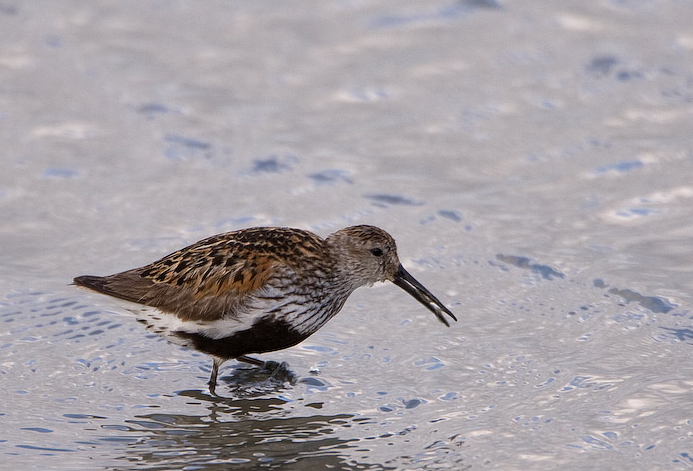
The Torpoint Peninsula area can be walked on footpaths through farmland/woodland and along roads with and without footpaths. It includes Wilcove Lake (small estuary), Jupiter Point (Royal Navy Seamanship School), the town of Torpoint itself and open farmland with a possibility of Cirl Bunting and Eurasian Spoonbill throughout the walk.
Details
Access
The town of Torpoint is on the west bank of the River Tamar (at this point called the Hamoaze) reached by Pedestrian/Car ferry from The City of Plymouth. On leaving ferry continue on A374, which slowly climbs out of the town, when it flattens out turn left onto Trevol Road signposted HMS Raleigh (Naval Camp), continue on this road and look for a pull in on right just as naval camp ends (signed Horson Cemetery). Park here and continue on foot following the map. The total length of the route shown on the map is about 12 km.
Terrain and Habitat
Forest , Scattered trees and bushes , Grassland , River , City/village , Agriculture , Mud flats , BeachConditions
Hilly , Rocky , Open landscape , High water possible , Wet , SlipperyCircular trail
YesIs a telescope useful?
YesGood birding season
All year roundBest time to visit
Winter , Summer , Spring migration , Spring , Autumn , Autumn migrationRoute
Paved road , Wide path , Narrow trailDifficulty walking trail
Average walkAccessible by
Foot , Bicycle , CarBirdwatching hide / platform
NoExtra info
Pay attention to STAR ICONS in village of Wilcove.


.jpg)


 ) to insert bird names in your own language. The birdnames will automatically be translated for other users!