Description
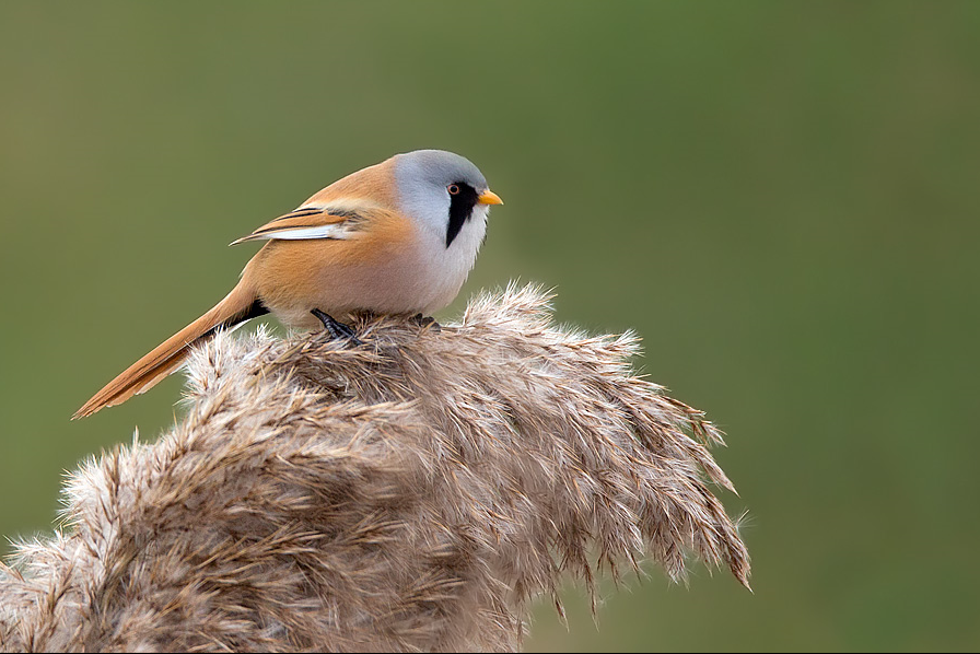
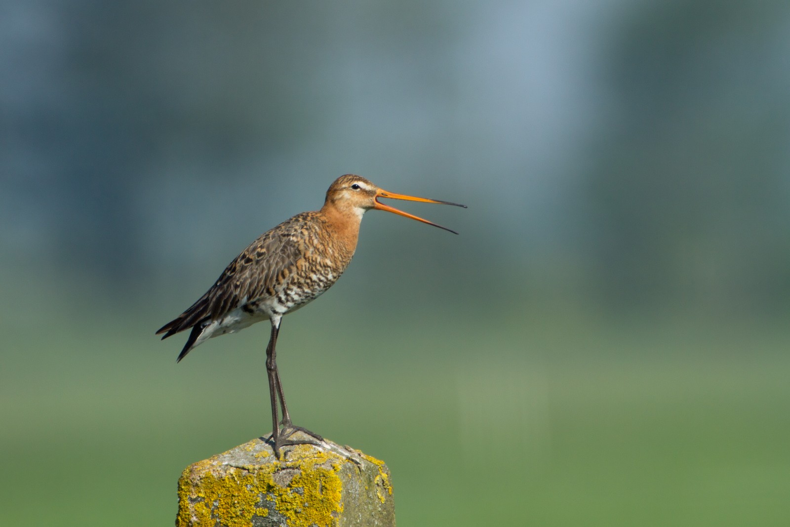
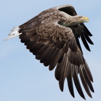
At the center of the site is a number of large lakes, once used as gravel pits. Just to the East is Swineham Point overlooking saltmarsh, reedbeds and Wareham Channel. The large area of water meadows are prone to flooding following long periods of rain, especially in Winter. The old gravel pits can hold Greylag Goose, Canada Goose, Eurasian Wigeon, Gadwall, Eurasian Teal, Northern Shoveler, Tufted Duck, Eurasian Coot, Little Grebe, Great Crested Grebe, Northern Pintail, Common Pochard, Greater Scaup, Red-necked Grebe, Slavonian Grebe and the occasional Red-throated Diver. At low tide Wareham Channel holds feeding Dunlin, Eurasian Curlew, Common Redshank, Eurasian Oystercatcher, Grey Plover, Common Greenshank, Avocet and Black-tailed Godwit many of which use the water meadows as a high tide roost. Check all Gull (Laridae) flocks carefully for more unusual species such as Yellow-legged Gull and Ring-billed Gull. The Wareham Channel is known for both Osprey and White-tailed Eagle since the recent reintroductions in Poole Harbour and the Isle of Wight.
Details
Access
The A35 main road from Poole (just to the North East) and Bere Regis (far to the West) is North of the site, leave A35 at Bakers Arms Roundabout signed Wareham/Sandfoot/Swanage A351. Follow signs to Wareham on A351, at Saxon Roundabout (on Northern edge of Wareham) take exit on to B3075 (to town centre), at traffic lights turn Left into East Street and then first Left into Morton's Lane. In Morton's Lane take first Left into Howard's Lane, car park (Fee Payable - 4 hours maximum stay) is just on the Left. There is also a 1 or 2 car parking spot on Bestwell Road near rugby club (Press STAR on map).
BE AWARE, some roads are PRIVATE ROADS, but have pedestrian access.
Terrain and Habitat
Forest , Wetland , Lake , Beach , Mud flats , Agriculture , City/village , Reedbeds , Sea , River , Scattered trees and bushesConditions
Flat , Wet , Slippery , High water possible , Open landscapeCircular trail
YesIs a telescope useful?
YesGood birding season
All year roundBest time to visit
Winter , Spring migration , Spring , Autumn , Autumn migrationRoute
Paved road , Wide path , Unpaved road , Narrow trailDifficulty walking trail
EasyAccessible by
Foot , Bicycle , CarBirdwatching hide / platform
NoExtra info
The total walking route indicated on the map is about 9 km, but also possible to split in two.
.jpg)
 ) to insert bird names in your own language. The birdnames will automatically be translated for other users!