Description
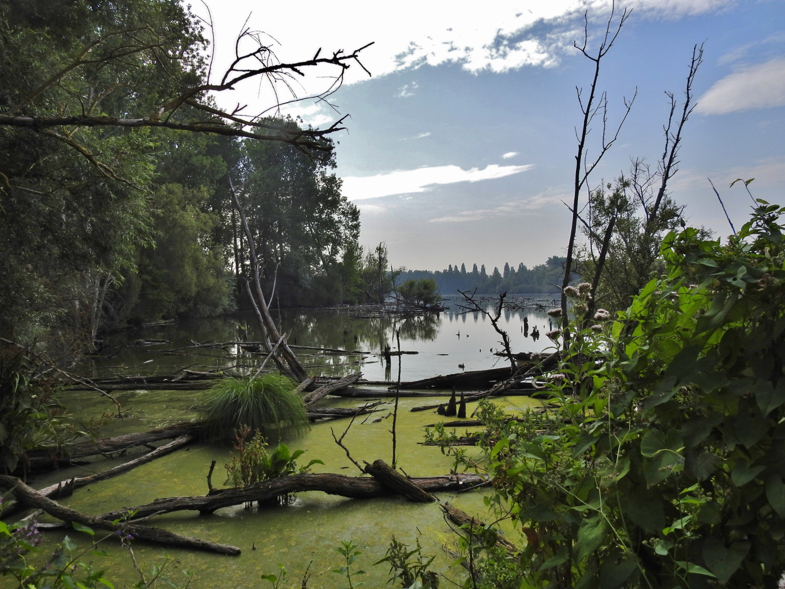
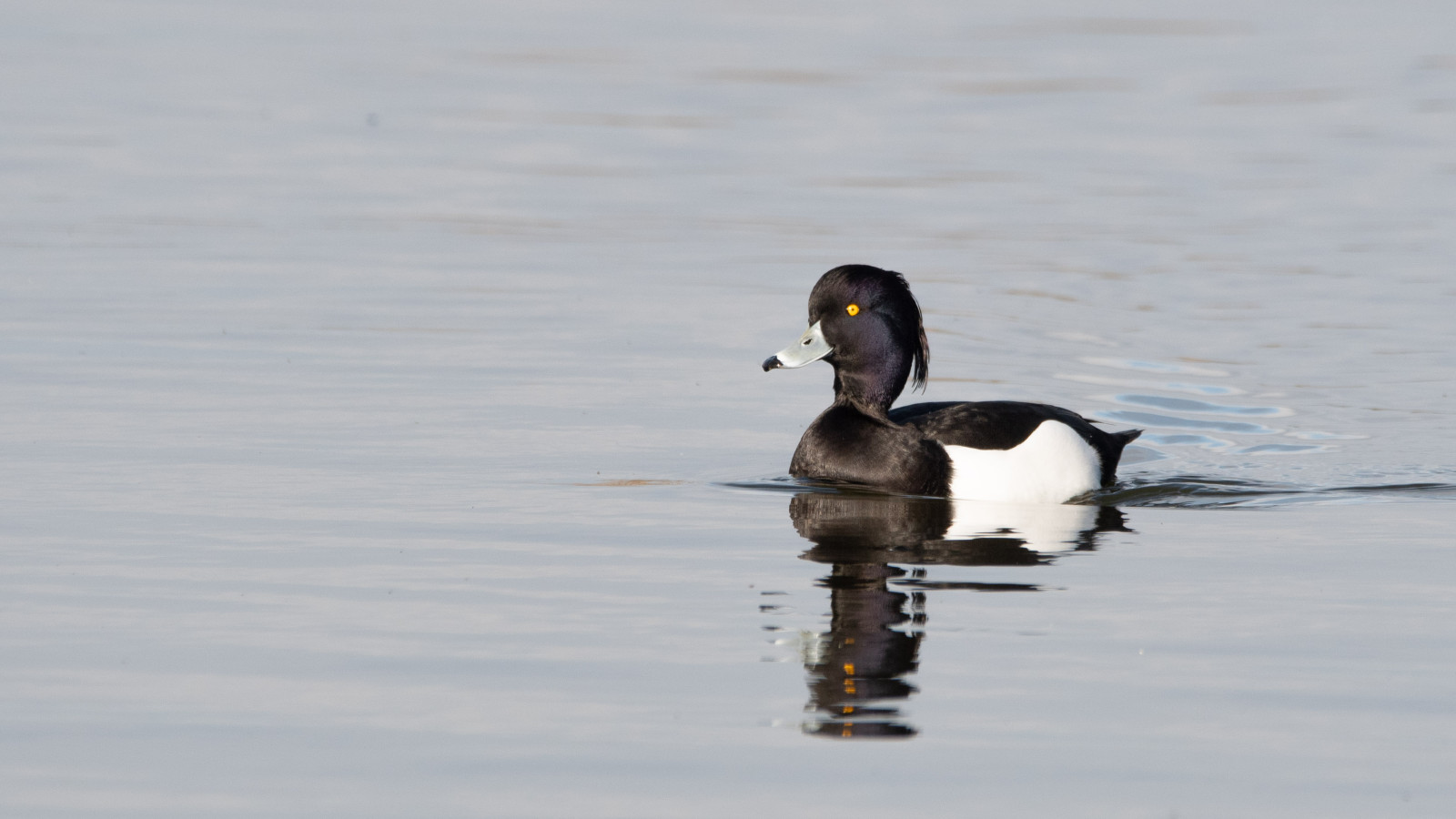
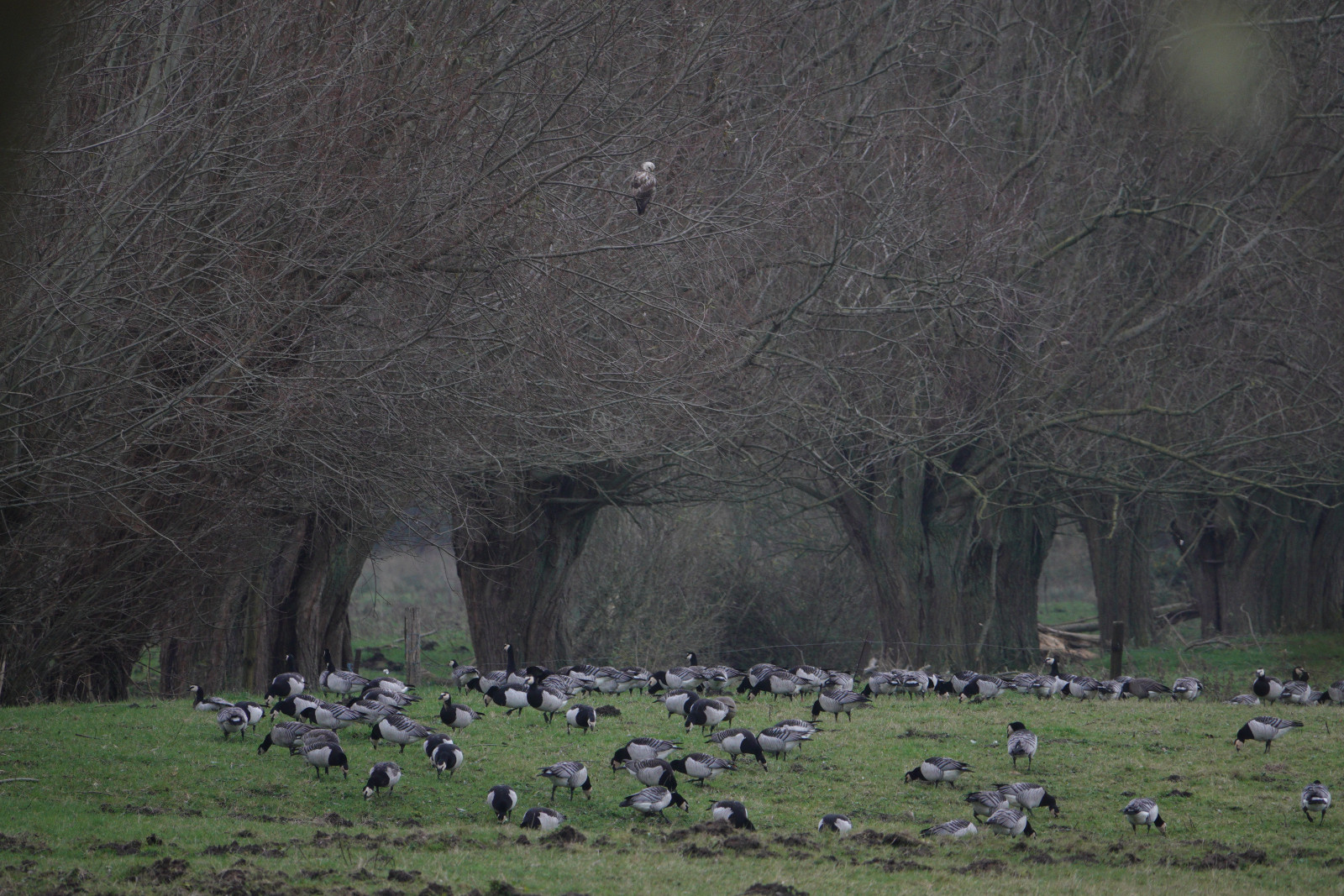
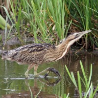
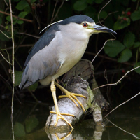
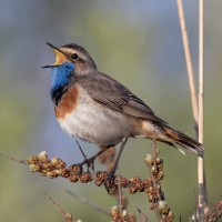
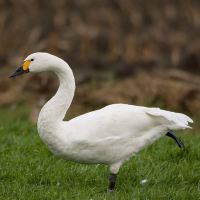
Les Marais d'Harchies consists of four large ponds, marshes, 24 hectares of reed beds and meadows with pollard willow. The wetland was created when subsidence from mining began to fill with water from the 1920s. Between 1968 and 1971, the marshes were drained for a construction project that failed, and the area was subsequently purchased for protection. As a result, they were refilled with groundwater and rainwater. The area now consists of a patchwork of ponds, marses and open meadows which offer ideal conditions and quietness for breeding birds. At the observatories, you may see: Great Egret, Bewick's Swan, Bluethroat, Black-crowned Night Heron and Osprey.
Details
Access
Coming from Namur, Charleroi, Mons, take the 26th exit on the E42 highway "Dour, Pommeroeul". Follow signs Harchies, then CRIE d'HArchies boards. Coming from Tournai, Courtrai take the 27th exit on the E42 highway. Click on a P in the map to get directions to a parking place.
Terrain and Habitat
Wetland , ReedbedsConditions
Flat , WetCircular trail
YesIs a telescope useful?
Can be usefulGood birding season
All year roundBest time to visit
Spring migration , Winter , Spring , Autumn , Autumn migrationRoute
Unpaved roadDifficulty walking trail
EasyAccessible by
Foot , BicycleBirdwatching hide / platform
YesExtra info
The trail marked on the map is about 7 km and leads you to all the best places.

 ) to insert bird names in your own language. The birdnames will automatically be translated for other users!