Description
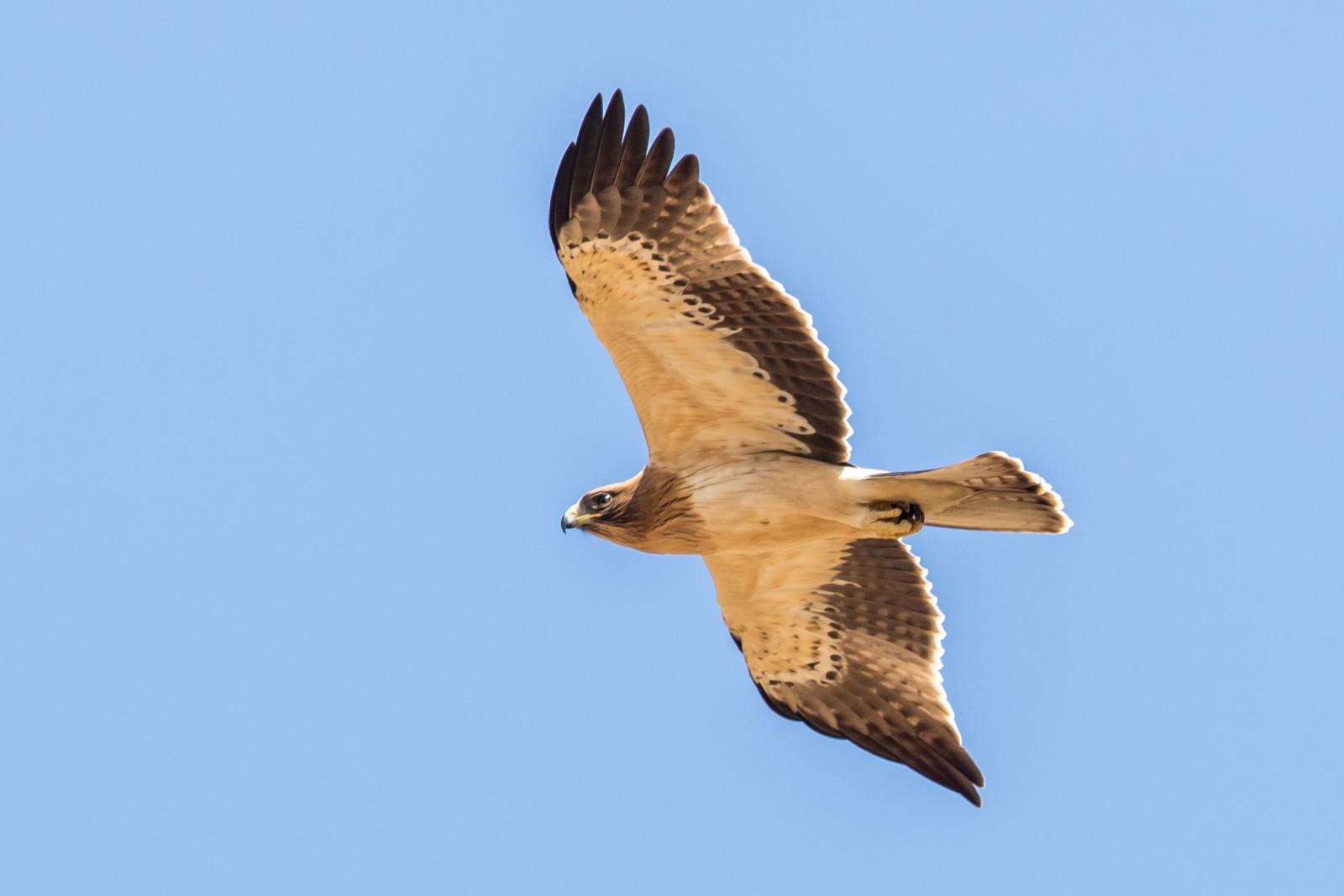
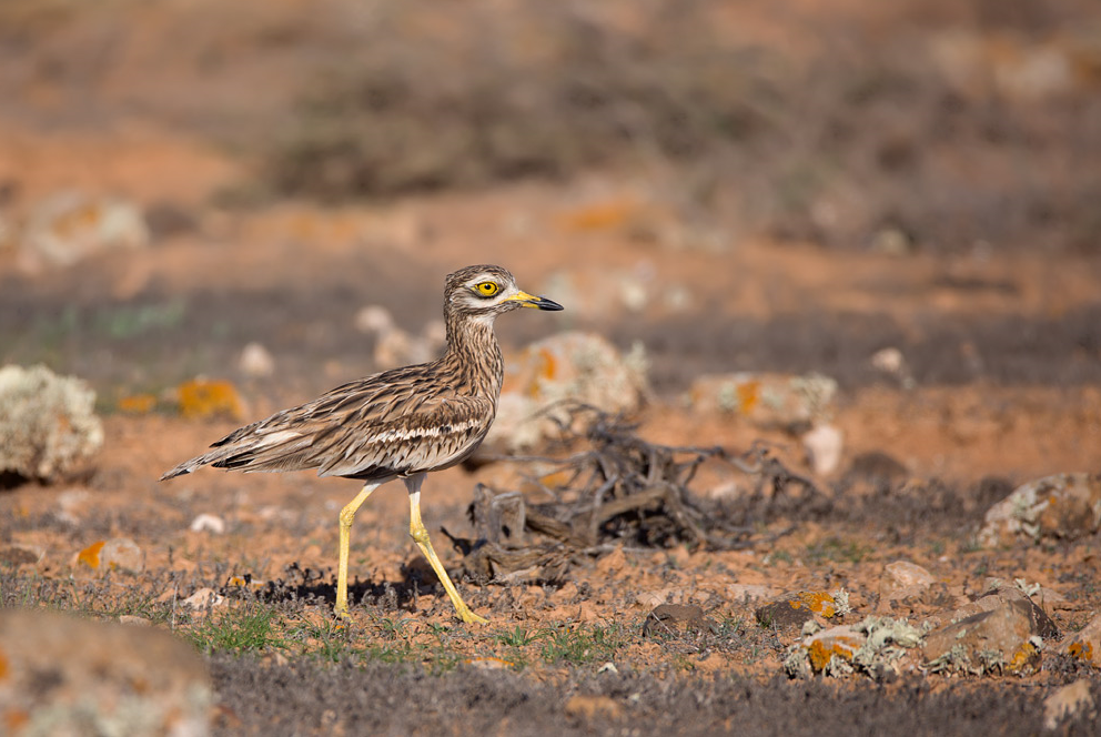
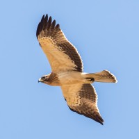
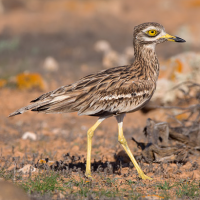
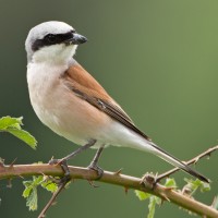
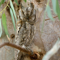
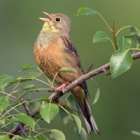
Mont Péjus is an excellent site for observing birds linked to dry environments as well as open agricultural landscapes. Among the classics of dry grassy areas we find Eurasian Nightjar, Wood Lark but also rarer species such as Stone-curlew, Short-toed Snake Eagle and Booted Eagle which nests in the surrounding woods. It was also the last site in Burgundy to host a breeding population of Ortolan Bunting that recently disappeared. Mont Péjus is also a good site for migrating birds of prey like Griffon Vulture or Red-footed Falcon.
_________________________
Français: Le Mont Péjus est une pelouse calcaire du sud de la Côte Chalonnaise, elle est bordée de milieux agricoles ainsi que de boisements. C'est un excellent site pour observer des oiseaux liés aux milieux sec ainsi que des paysages agricoles ouverts. Parmi les classiques des pelouses sèches on retrouve l' Eurasian Nightjar, l' Wood Lark mais aussi des espèces plus rare comme le Stone-curlew, le Short-toed Snake Eagle et l' Booted Eagle qui niche dans les boisements alentour. Ce fut également le dernier site de Bourgogne à accueillir une population nicheuse de Ortolan Bunting disparu récemment. Le Mont Péjus est aussi un bon site pour les rapaces migrateurs ou erratique comme le Griffon Vulture ou le Red-footed Falcon.
Details
Access
The site is accessed by the road that leads to the village of Burnand then by the agricultural roads that lead to the foot of the mountain. Click on the P in the map for directions. The circular walk indicated on the map is about 6 km.
_________________________
Français: On accède au site par la route qui mène au village de Burnand puis par les chemins agricoles qui conduisent jusqu'au pied du mont. Cliquez sur le P sur la carte pour les directions. L'itinéraire circulaire indiqué sur la carte est d'environ 6 km.
Terrain and Habitat
Agriculture , Scattered trees and bushes , Grassland , City/villageConditions
Hilly , Dry , Open landscapeCircular trail
YesIs a telescope useful?
Can be usefulGood birding season
SpringBest time to visit
Spring , Spring migrationRoute
Narrow trail , Wide pathDifficulty walking trail
Average walkAccessible by
FootBirdwatching hide / platform
NoExtra info
The site is grazed by cows. Please respect the fences, close the agricultural gates after passing it and do not frighten the herd.
_________________________
Français: Le site est pâturé par des vaches, il faut impérativement respecter les clôtures, fermer les portails agricoles après son passage et ne pas effrayer le troupeau.
 ) to insert bird names in your own language. The birdnames will automatically be translated for other users!