Description
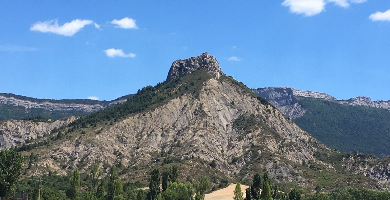
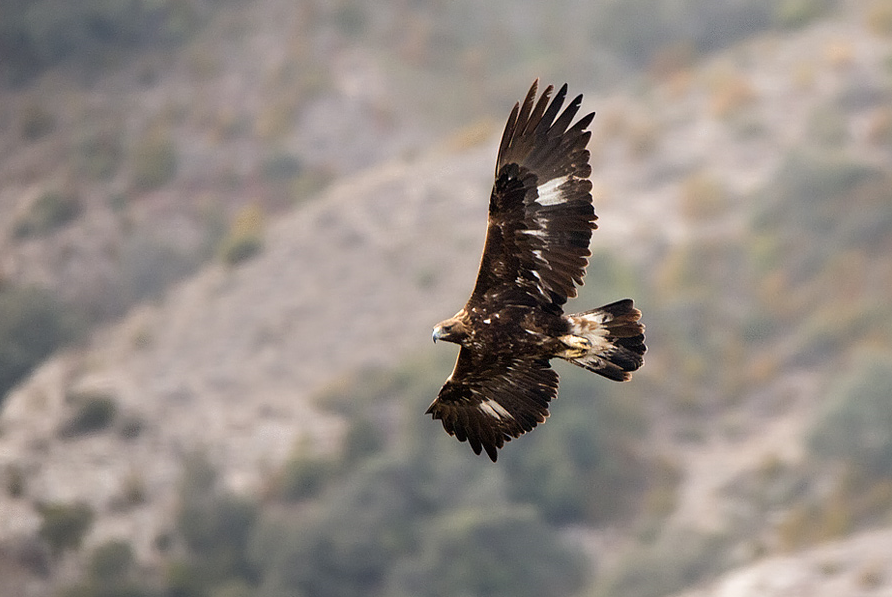
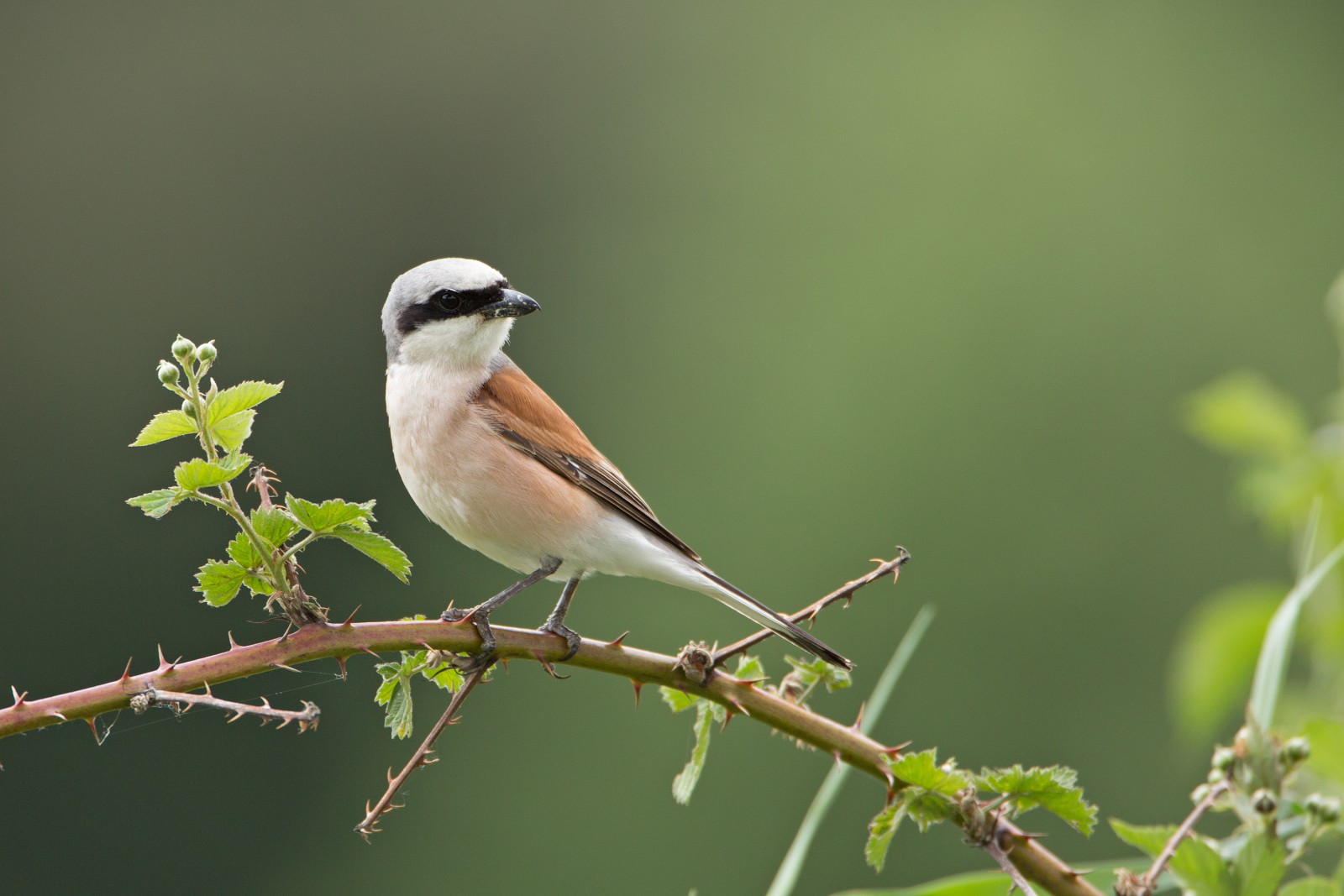
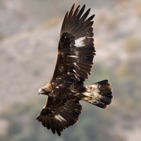
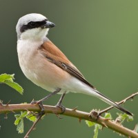
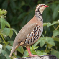
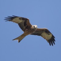
Savournon is a small village, enjoying a sunny climate, between the Alps and Provence. It lies on the foot of the Pic de l'Aigle. The Peak of the Eagle is a rock that is the highest point in the surrounding area. The bushy landscape on the slopes of the rock is rich in birds. You have nice views on green meadows of the Savournon plain and the birding is good. Because you pass forested and bushy areas, rocky outcrops and look over plains, the bird diversity is high. Often birds of prey can be seen. Red-legged Partridge live here, Red-backed Shrike are plenty, and you can also see Corn Bunting, Northern Wheatear and many other small songbirds. With a little luck birds of prey like Golden Eagle and Red Kite will fly over.
Details
Access
It's possible to make a circular walk that passes the top, but it is not the most easy walk because a part of the trail is very steep, the gravel very slippery and some parts are a bit overgrown. So I recommend that if you want to go to the top you do it from the eastern more gradual slope, and skip the circular walk. Actualy, the best birding is not along the steep path, but along the eastern part of the trail that runs along a winding road. There is almost no traffic, so birding along this road is no problem.
If you want to do the circular trail anyway, then park in the south-western parking. The 5 km hike starts from there with a steep ascent. But for me the better option option was to park at the beginning of the eastern path to the top. From there you can walk to the top and back, and then walk to Savournon (or halfway) and back. It's much more relaxed.
Click on the P on the map to go to one of the parkings directly. The distance of the circular trail is about 5 km, and the trail is signposted with yellow markers. But you can also follow the trail on your smartphone on the map below. Again, the best option is to approach the top from the east and to skip the circular walk. But if you prefer to do the circular walk, the best way is to walk the trail clockwise. So from the western parkingplace first head west and then directly north up a steep path. Whatever option you choose, put on good walking shoes!
 ) to insert bird names in your own language. The birdnames will automatically be translated for other users!