Description
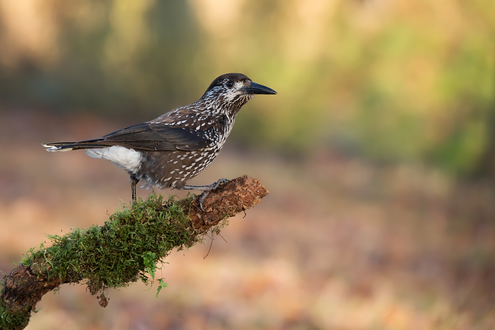
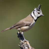
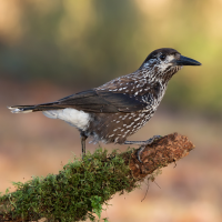
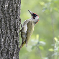
The valley of the river Ubaye is popular with many tourists. But birding in the valley itself and along the river can be rather disappointing. But as soon as you explore the areas higher up on the flanks of the hills, more birds quickly appear. However, birdwatching can still be disappointing if you just explore coniferous forests (by far the majority in the valley of the Ubaye). So you have to look for the spots where deciduous trees are concentrated. Above the village of Rioclar is such a spot, an oasis of deciduous trees in an area dominated by conifers. While it was deafeningly quiet August in the surrounding coniferous woods, in this spot we saw many birds and mixed flocks. Among the birds we saw in August 2021 were Red-backed Shrike, Eurasian Wryneck, Nutcracker, Crested Tit, Coal Tit, Willow Tit, Lesser Whitethroat, Mistle Thrush, Western Bonelli's Warbler, Firecrest, Eurasian Green Woodpecker, Great Spotted Woodpecker, Eurasian Nuthatch, Common Redstart, Black Redstart and Common Crossbill. And you should keep an eye up the skies, because Short-toed Snake Eagle is often seen here.
Two other very good things about this area: first is that you almost have the area by yourself, because most tourist visit the more well known nature reserves further up in the valley around Barcelonnette. Second: the area is also fantastic for butterflies. The amount of butterflies and species diversity is astonishing.
Details
Access
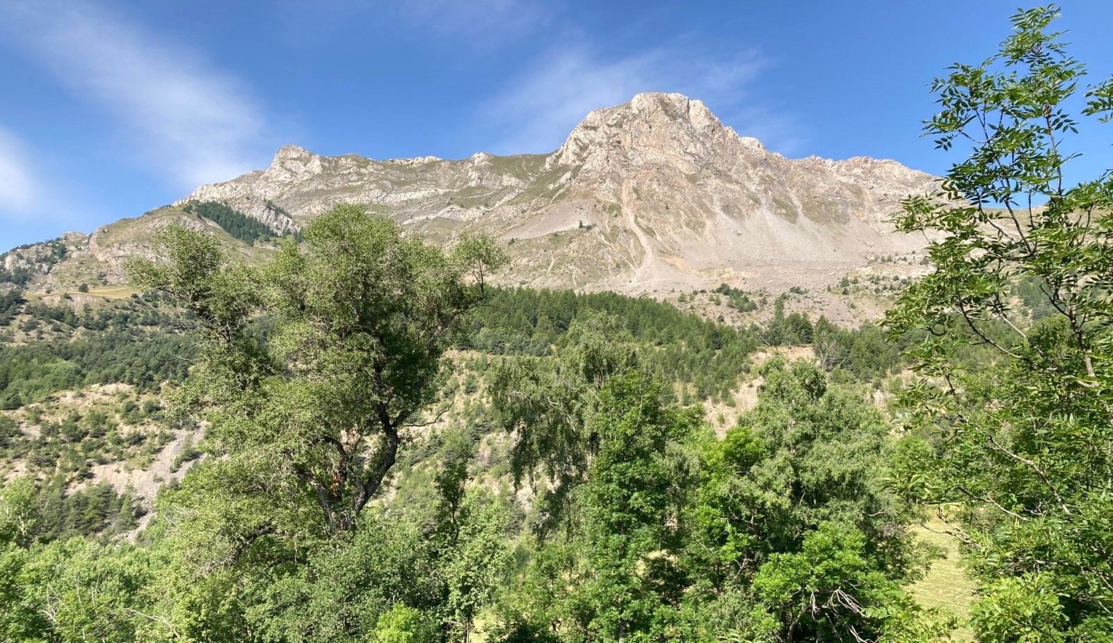
From the main road that runs through the Ubaye Valley to or from Barcelonnette, take the turnof to the village of Rioclar. After a steep 1,5 km you reach the village. Drive further up to La Romeyere until the paved road turnes into an unpaved road. Click on the P in the map to get directions to this spot. Park the car on this spot (next to an electricity pole). From there you walk up the rather steep unpaved and rocky road and after a few hairpin bends you come to the area where noticeably more birds can be seen and heard. That point is marked with a star on the map. The route you see on the map is 3 km long (3 km one way from the parking spot), the last kilometer is the most birdrich part. But you can also walk further up the hills by following the path and you will come to the area with high rocky slopes and the bare mountain top of La Montagnette (2811 m., see picture). Unfortunately we didn't have enough time to make the walk further up, but it looked promising, beautiful and rugged and will probably also provide several extra bird species like Northern Wheatear. Anyway, put on good walking shoes and bring enough water.
Terrain and Habitat
Forest , Mountain , Canyon/cliff , Agriculture , Grassland , Scattered trees and bushesConditions
Mountainous , RockyCircular trail
NoIs a telescope useful?
NoGood birding season
Spring , Autumn , SummerBest time to visit
SpringRoute
Unpaved roadDifficulty walking trail
Average walkAccessible by
FootBirdwatching hide / platform
NoExtra info
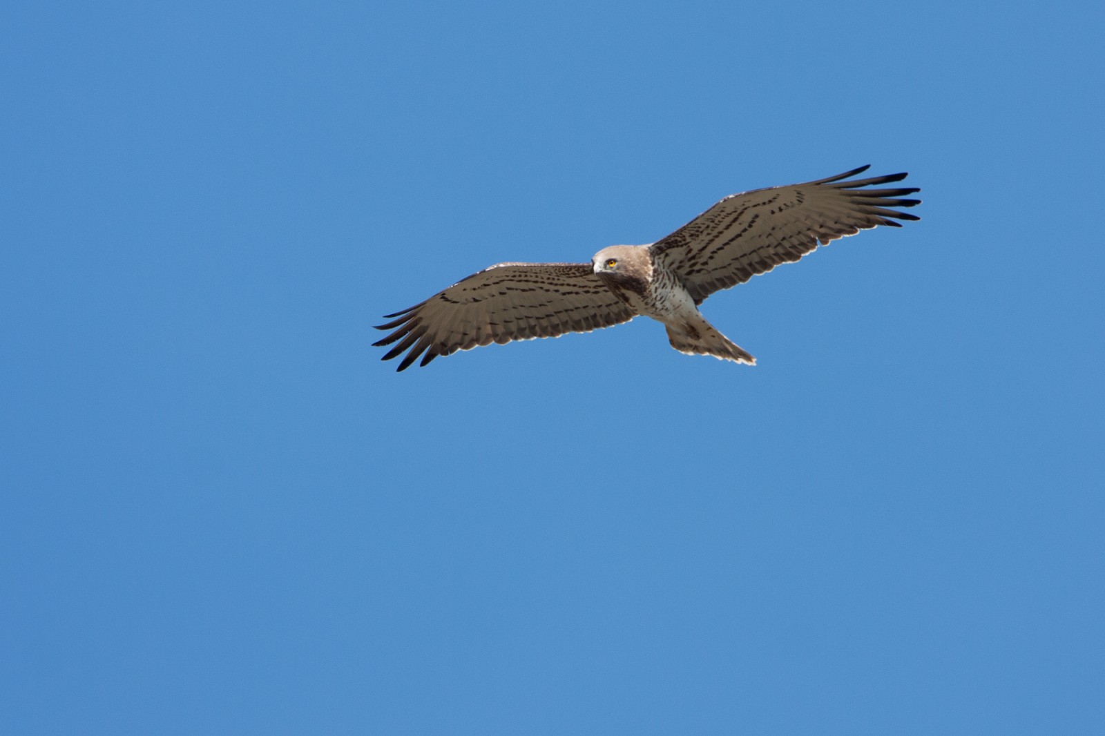
Don't forget to check the skies, mountaintops and cliffs. Different species of vultures and birds of prey such as Golden Eagle and Short-toed Snake Eagle can be seen.


 ) to insert bird names in your own language. The birdnames will automatically be translated for other users!