Description
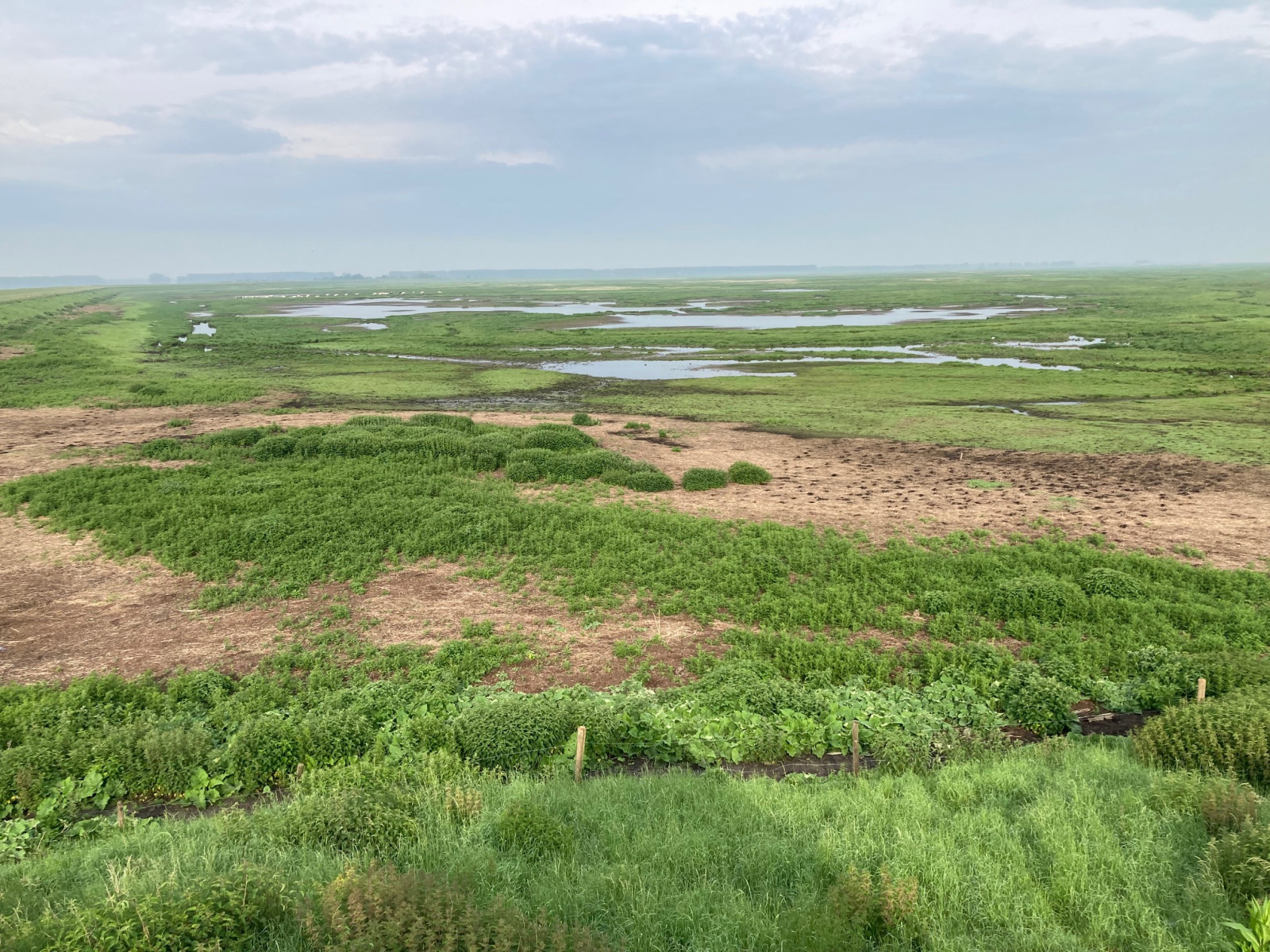
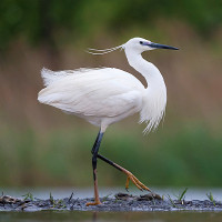
The Verdronken Land van Saeftinghe (The Drowned Land of Saeftinghe) in Dutch Flanders is one of the few tidal birding areas on the southcoast of the Netherlands. The approx 3500 ha area on the left bank of the Westerschelde estuary is the largest brackish salt marsh in Europe. It is an area where many breeding and migratory birds live or pass. In the spring you can observe Reed Bunting, Reed Warbler, Greylag Goose, Western Marsh Harrier, Bearded Tit, Bluethroat, Water Rail, Zitting Cisticola, Savi's Warbler and Grasshopper Warbler. Sometimes Spotted Crake. The area also attracts a lot Little Egret. In the winter the reed fields are the habitat of large groups of geese and ducks as well as many Western Marsh Harrier and Hen Harrier. Also Bearded Tit, Rock Pipit, Little Stint and Corn Bunting overwinter in the area. In late summer it is a top area for Osprey.
_________________________
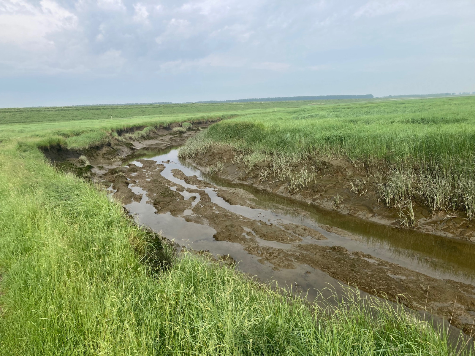
Nederlands: Het Verdronken Land van Saeftinghe in Zeeuws-Vlaanderen is een van de weinige getijdenvogelgebieden aan de zuidkust van Nederland. Het circa 3500 ha grote gebied op de linkeroever van de Westerschelde is de grootste brakke kwelder van Europa. Een ruig landschap met slikken, indrukwekkende getijdegeulen en unieke brakke vegetatie vol steltlopers en rietvogels. Het is een gebied waar veel broed- en trekvogels leven of doortrekken. In het voorjaar kun je Reed Bunting, Reed Warbler, Greylag Goose, Western Marsh Harrier, Bearded Tit, Bluethroat, Water Rail, Zitting Cisticola, Savi's Warbler en Grasshopper Warbler zien. Soms Spotted Crake. Het gebied trekt ook heel veel Little Egret. In de winter zijn de rietvelden het leefgebied van grote groepen ganzen en eenden, maar ook veel Western Marsh Harrier en Hen Harrier. In de winter maak je ook kans op overwinterende Corn Bunting, Little Stint, Bearded Tit en Rock Pipit. In de nazomer is het een topgebied voor Osprey.
Details
Access
The Verdronken Land van Saeftinghe is located at the very tip of the province of Zeeland, near the Belgian border, 20 kilometers east of the city of Terneuzen and 25 km north of Antwerp. For safety reasons, a large part of Saeftinghe is not freely accessible. The flood can come treacherously quickly. The difference between ebb and flow is no less than 4.5 meters, and at spring tide even as much as 6 meters. The area itself is only accessible during excursions organized by Stichting Het Zeeuwse Landschap.
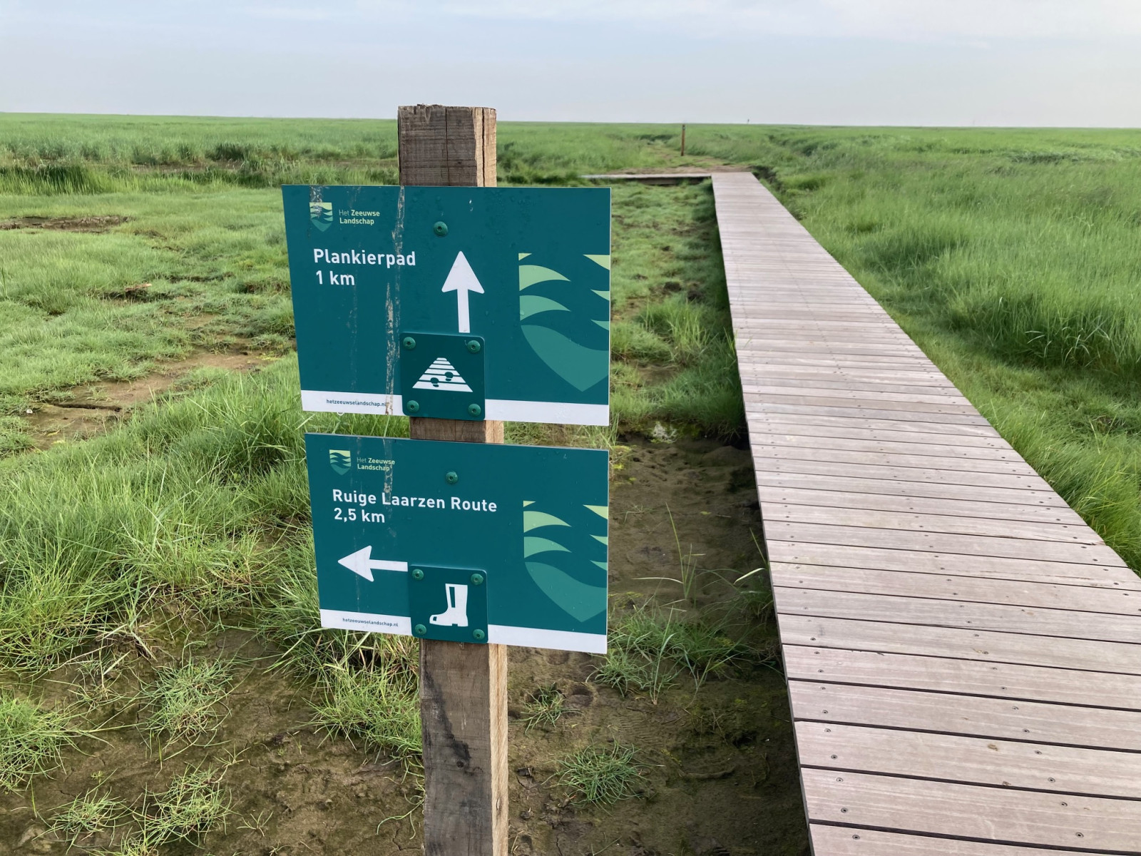
However, to see the birds, you can also just follow the road along the dike (by bike or car). Here you will find three bird watching hides that provide a good view on the Drowned Land of Saeftinghe, especially at high tide. There are two short walking routes (1 and 2 km long respectively) that start at the visitor center. These routes can be walked at (normal) flood without a guide. The route shown on the map, combines these two routes.
_________________________
Nederlands: Het Verdronken Land van Saeftinghe ligt op het uiterste puntje van de provincie Zeeland, tegen de Belgische grens, aan de Westerschelde. Het gebied ligt 20 kilometer ten oosten van Terneuzen en 25 km ten noorden van Antwerpen. Om veiligheidsredenen is een groot deel van Saeftinghe niet vrij toegankelijk. De vloed kan verraderlijk snel komen. Het verschil tussen eb en vloed is maar liefst 4,5 meter en bij springtij zelfs 6 meter. Het gebied zelf is alleen toegankelijk tijdens excursies georganiseerd door Stichting Het Zeeuwse Landschap.
Om de vogels te zien kun je echter ook gewoon de weg langs de dijk volgen (met de fiets of auto). Hier vind je meerdere uitkijkpunten die vooral bij vloed (zie de link naar de getijdentabel beneden) een goed zicht geven op het Verdronken Land van Saeftinghe. Er zijn twee korte wandelroutes (respectievelijk 1 en 2 km lang) die starten bij het bezoekerscentrum, maar daar zijn niet altijd heel veel vogels te zien. Deze wandelroutes zijn zonder gids bij (normale) overstroming te belopen. De route die op de kaart wordt weergegeven, combineert deze twee routes. Helemaal aan de oostzijde van het gebied staat een verhoogde vogelkijkhut waar vaak veel vogels te zien zijn en helemaal aan de westkant nabij Baalhoek is tijdens hoogwater een heel goede plek voor steltlopers. Parkeren kan gemakkelijk bij de meeste uitkijkplekken. Klik op een P in de kaart voor een routebeschrijving.
Terrain and Habitat
Mud flats , Wetland , ReedbedsConditions
Wet , High water possibleCircular trail
YesIs a telescope useful?
Can be usefulGood birding season
All year roundBest time to visit
Spring , WinterRoute
Paved road , Unpaved roadDifficulty walking trail
Average walkAccessible by
Foot , Bicycle , CarBirdwatching hide / platform
YesLinks
- Recent bird sightings in the area on Waarneming.nl
- Stichting Het Zeeuwse Landschap - Drowned Land of Saeftinghe (homepage)
- Delta Birding - Verdronken Land van Saeftinghe (Dutch only)
- Tides table / Getijdentabel
