
Beskrivning
Karalee Rock and dam is a natural rock formation that was adapted to maximise the catchment, delivery and storage of rainwater which was essential to railway development in the Goldfields region.
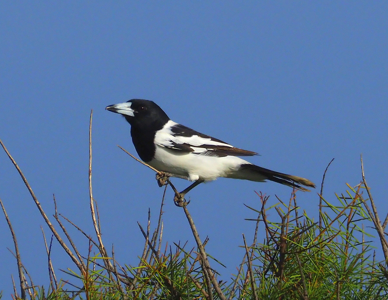
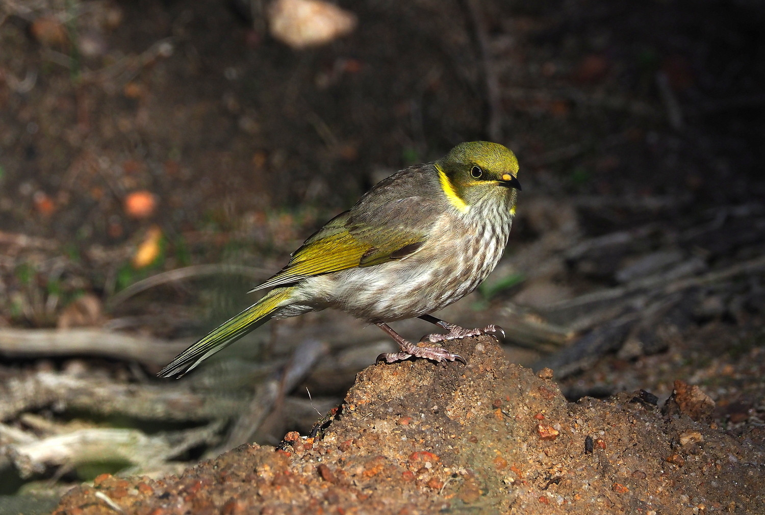
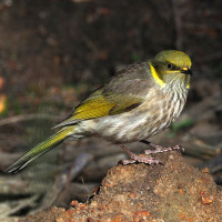
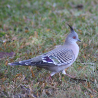
A good suite of birds has been observed here including, occasionally, Pink Cockatoo.
Note that the loop route outlined follows the inside circumference of the rock itself and is not particularly 'birdy'. Instead, look for birds in the scrubs and trees surrounding the rock.
Detaljer
Tillgänglighet
From Southern Cross proceed 50km east along the Great Eastern Highway and turn left to go north over the rail lines for a further 4 kms - note: this is not an all-weather road - drive with care.
Press P on the map to access Google mapping.
Terräng och habitat
Spridda träd och buskarFörhållanden
Platt , Klippigt , KulligtRundtur
JaTubkikare behövs?
NejBästa säsong för skådning
Året runtBästa tid för ett besök
VårRutt
Bred stigHur ansträngande vandring
Lätt vandringNås
Till fotsFågeltorn / plattform
NejExtra information
From Tourism WA - see link: "Only 4 kilometres north of the highway, hidden by low scrub in a region with less than 260 millimetres of rain a year, is an earth tank capable of holding nearly 50 million litres of water.
It is believed that Charles Hunt was responsible for the construction of a well and a dam at the base of Karalee Rocks in the 1860's. With the discovery of gold this became a regular stopping place and was officially gazetted as a water reserve in 1888. At some stage a second well was sunk.
By 1895 some 600 teams and 4,000 horses were regularly making the 4.5 day trip between Southern Cross and Coolgardie. Most stopped for water. At the same time construction of the railway was underway. One of the wells was deepened, but it was not enough.
Karalee Rocks offered an ideal water catchment area of some 71 hectares. A stone wall was erected around the base of the rocks, directing the run-off into an inlet channel. From there a steel aqueduct, or flume, carried the water to the tank. The sight of the massive aqueduct, seemingly so out of context in this environment, never fails to impress".

 ) Lägg till fågelnamen på ditt egna språk, namnen kommer automatiskt översättas till andra användare.