Beskrivning
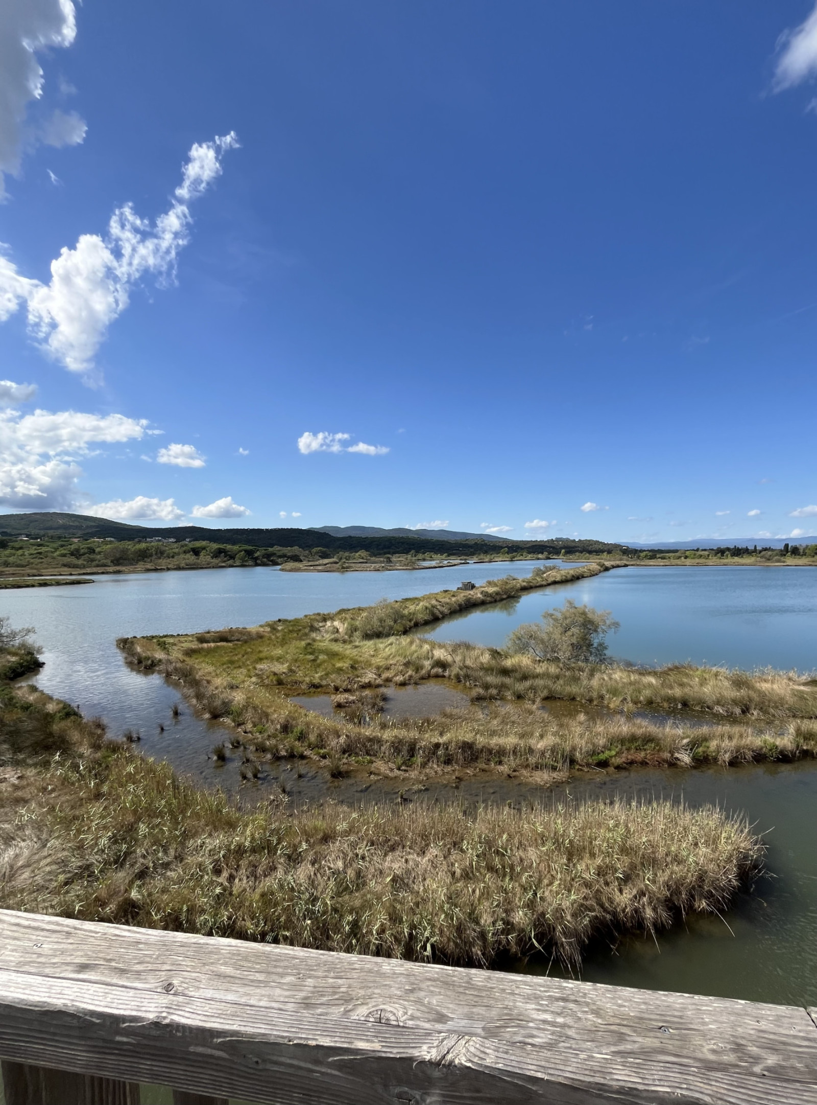
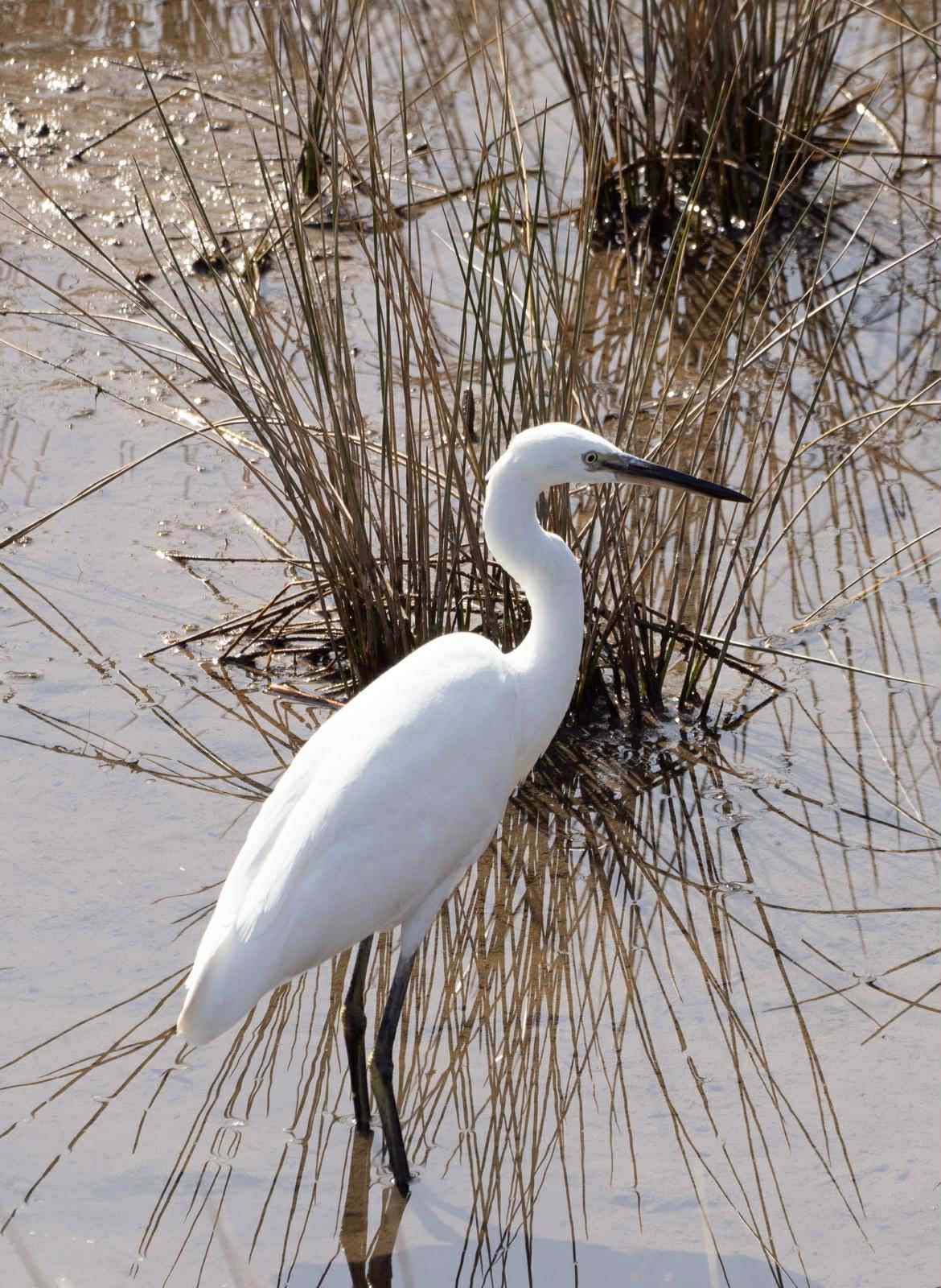
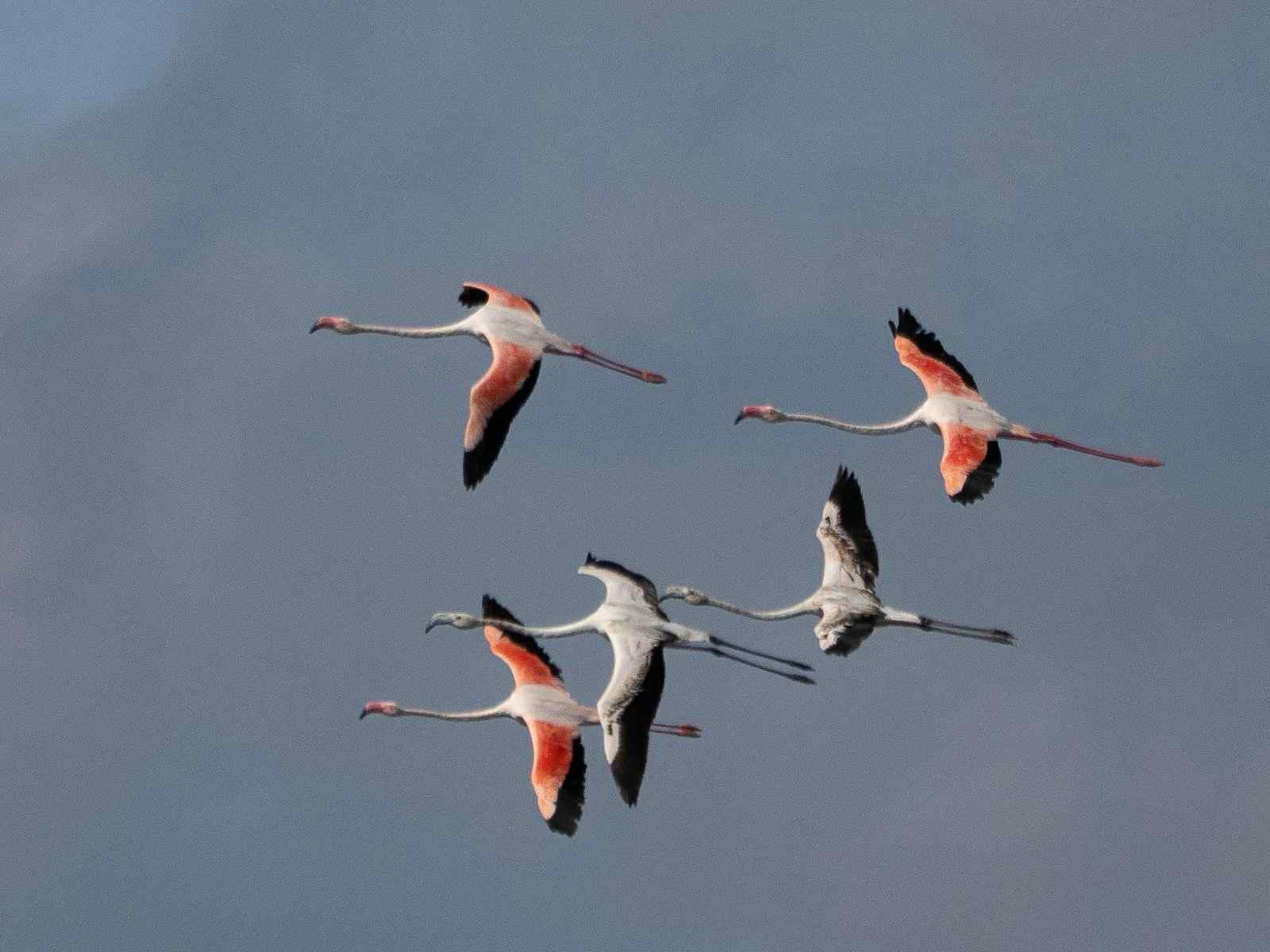
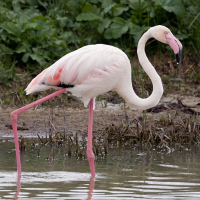
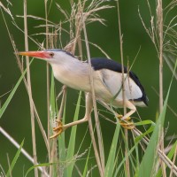
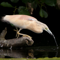
The Étangs de Villepey are a protected natural wetland of 271 hectare. The site features a mix of lagoons, ponds, mudflats, wetlands, dry meadows, and dunes. The richness and diversity of the bodies of water allow you to spot many different birds. More than 270 bird species have been recorded.
You can freely explore the marked trails of the site. At the entrance to the Esclamandes sector, there is a general information panel. The “Pas des Vaches” sector includes an interpretive trail, with boardwalks, equipped with directional or informative signs. Several observatories, including that of the lagoon observation tower (accessible to people with reduced mobility), allow you to observe local or passing birds during migration periods.
Detaljer
Tillgänglighet
The Étangs de Villepey are located in Saint-Aygulf. You can access the area from the Avenue de la Corniche d'Azur (D559) in Saint-Aygulf. You can park at the Esclamandes beach car park (paid parking in summer). Press P on the map for directions to a parking. On the other side of the beach, you will find the sign indicating the ponds, between Kokonut beach and Mas d'Estel. You can start the walk by going to the recently installed observation deck.
Terräng och habitat
Våtmark , Platt , Hav / ocean , Flod , Vassar , Slätt , Hed , StrandFörhållanden
Platt , Sandigt , Sumpigt , Ingen skugga , Torrt , Öppet landskapRundtur
JaTubkikare behövs?
Kan vara användbartBästa säsong för skådning
Året runtBästa tid för ett besök
Vårsträck , VårRutt
Grusväg , Smal stigHur ansträngande vandring
Lätt vandringNås
Till fotsFågeltorn / plattform
JaExtra information
NOTE: the full circular walk is not possibly at the moment as the bridge (upper / north side) had been destroyed and has not been rebuild (update january 2026).
The circular walking route indicated on the map is about 8 km. Directions: Return to the start of the footbridge and follow the edge of the road until you reach a path on your left. At the crossroads, turn left onto the “Chemin des étangs”. Continue until you reach the first houses, where the arm of the ponds narrows. Look for the wooden footbridges on your left and cross them 2. Continue along the path, always staying on the path that runs along the ponds. Once you have passed the “Le Grand Calme” campsite on your right, look out for the start of the path on your left, on the bend in the road. Take it to the Vasière observatory. From the observatory, a passageway allows you to reach the beach behind it.


 ) Lägg till fågelnamen på ditt egna språk, namnen kommer automatiskt översättas till andra användare.