Beskrivning
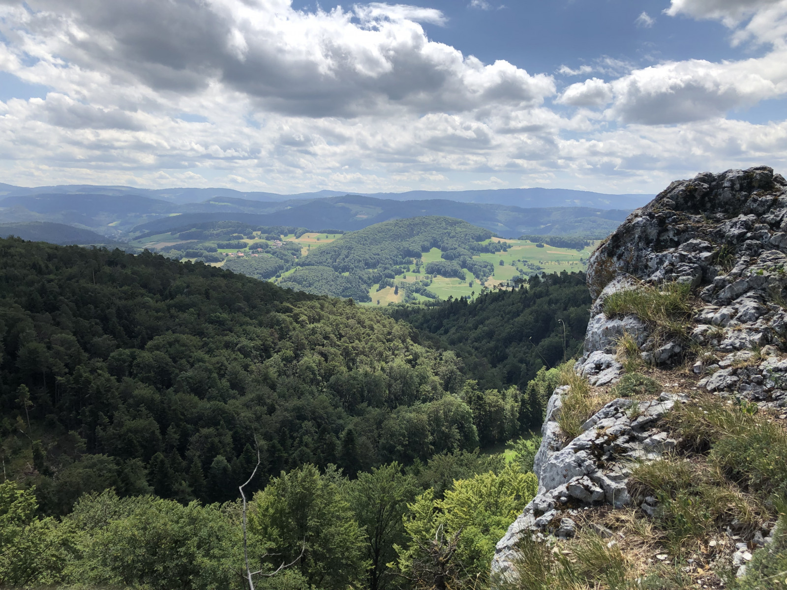
The northernmost folds of the Jura extend into the far south of Alsace, near the town of Ferrette. This area is marked by two parallel limestone ridges running from west to east - the only major limestone formations in the region - reaching heights of 680 m at Kastelberg and 812 m at Glaserberg. These ridges are the source of two rivers that have shaped the surrounding terrain: the Largue and the Ill.
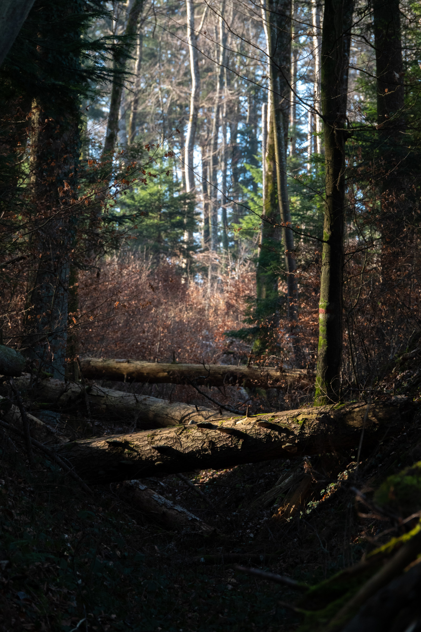
The Alsatian Jura experiences a clearly alpine-type climate and retains a remarkably intact natural environment. Forests dominated by beech and fir, along with oaks, maples, lime trees and whitebeams, combine with cliffs, grasslands, calcareous meadows and streams — including the Lucelle, noted for its outstanding ecological quality — to create a rich patchwork of habitats that strongly supports biodiversity.
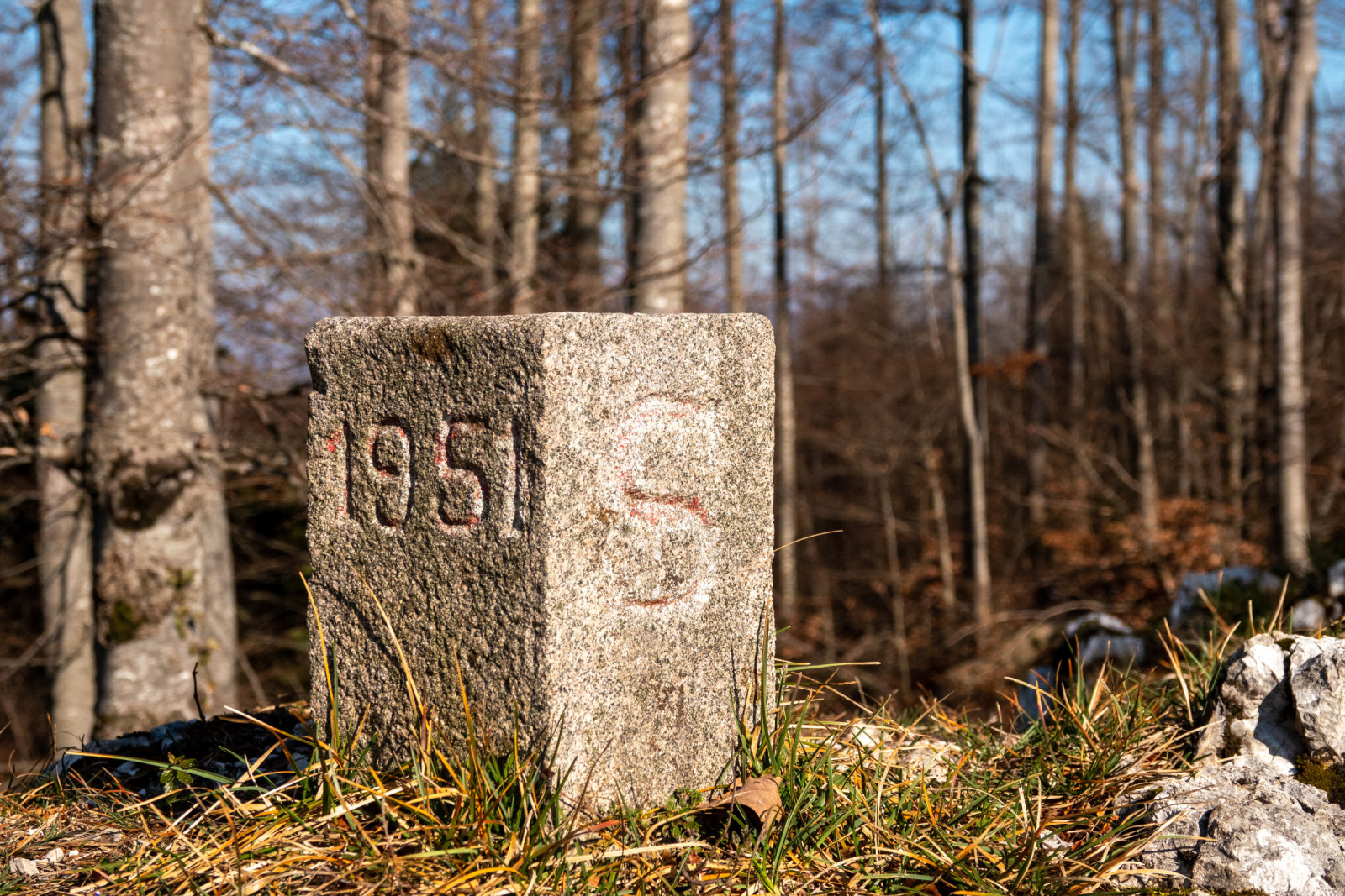
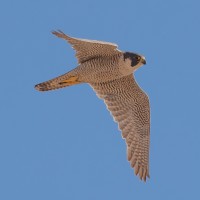
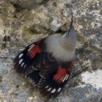
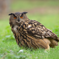
The trail leading to the Raemmel ridge, south of Wolschwiller, follows the French–Swiss border and passes through the only area in Alsace where a stable population of bergsångare can be found. The south-facing cliffs overlooking Switzerland provide nesting sites for Pilgrimsfalk and berguv, and are also frequented by murkrypare toward the end of winter.
Detaljer
Tillgänglighet
Wolschwiller can be reached easily by road from the main transport routes of southern Alsace. From Mulhouse, take the A36 motorway toward Belfort, exit at Altkirch, then follow the D432 toward Ferrette. Continue on the D473 in the direction of Wolschwiller. The village is also accessible from Switzerland via Porrentruy, crossing the border and following local roads toward Ferrette and Wolschwiller. Press P on the map for directions to a parking spot. The circular walking route shown on the map is about 8 km.

 ) Lägg till fågelnamen på ditt egna språk, namnen kommer automatiskt översättas till andra användare.