
Beskrivning
The Oberlindacher Weiher, located in a rural setting near the village of Oberlindach, consist of several small to medium-sized fish ponds surrounded by wetland vegetation, meadows, and patches of woodland. The site is relatively undisturbed and provides suitable habitat for a range of bird species, especially those associated with water and reed zones.
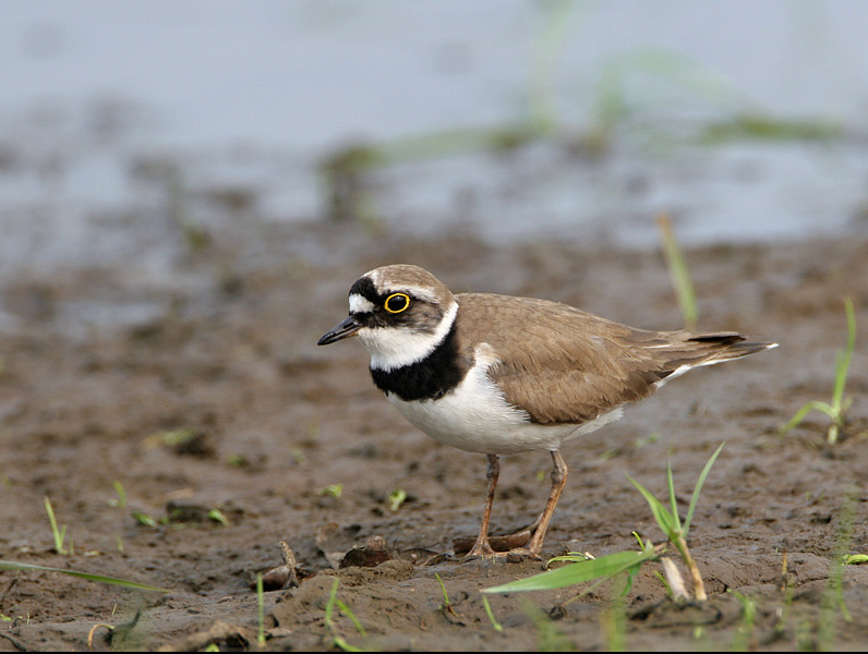
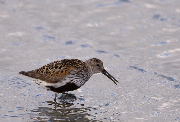
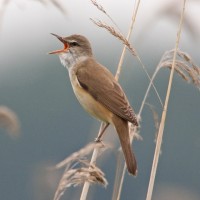
Commonly observed birds include gråhäger, gräsand, knölsvan, and skäggdopping. rörsångare, sothöna, and rörhöna are also present during the breeding season. The ponds are particularly alive with birds during spring and autumn migration, when species such as ducks, waders, and passerines use the area as a stopover.
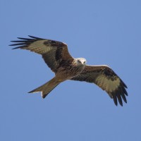
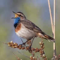
Occasional sightings of less common species add interest to birdwatching at the Oberlindacher Weiher. These may include dvärgrördrom, småfläckig sumphöna, or årta during migration periods. In some years, svart stork and aftonfalk have been recorded in the surrounding area. The presence of dense reed beds also makes the site potentially suitable for elusive species like vattenrall or blåhake, though sightings are infrequent.
The site is appreciated by local birdwatchers for its quiet atmosphere and the possibility to observe birds at relatively close range, especially from the edges of the ponds or adjacent paths.
Detaljer
Tillgänglighet
The Oberlindacher Weiher is located near the village of Oberlindach and can be reached by bicycle or car from nearby towns such as Erlangen or Herzogenaurach. Parking is available in the village of Oberlindach. Press P on the map for directions to the parking. Public transport: Bus 202 from Erlangen to Weisendorf. In Weisendorf, you can transfer to Bus 204, which stops at the Oberlindach bus stop (1).
From the parking and bus stop the ponds are accessible via a short walk on agricultural tracks. There are no formal observation platforms, but the area can be explored on foot along public paths that offer sufficient views of the ponds and surrounding habitat. The circular walking route shown on the map is about 2 km.

 ) Lägg till fågelnamen på ditt egna språk, namnen kommer automatiskt översättas till andra användare.