Beskrivning
Salziger See is a low-lying rural area that was once a lake but was drained in the late 19th century due to mining. It now contains a diverse range of small habitats and agricultural pockets: extensive reedbeds, ponds, fields, scrub and orchards on sloping hills. This mix of environments provides a home for many different bird species. Water levels in the various ponds is often shallow, but largely unpredictable. A scope can be very useful for ID of any potential waders.
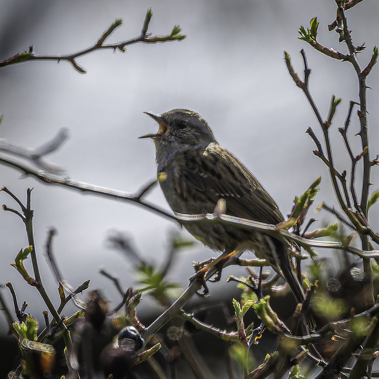
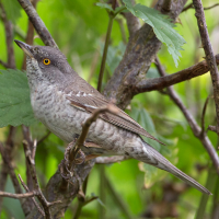
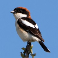
On the north side of the track between parking points 1 and 2 marked on the map, there are sloping hills with scrub and terraced vineyards and orchards. Some small cliffs have also evolved, which are very much appreciated by biätare and stenskvätta as breedings spaces. Other typical birds that can be found here include turturduva, göktyta, höksångare, törnskata, svarthakad buskskvätta and törnsångare.
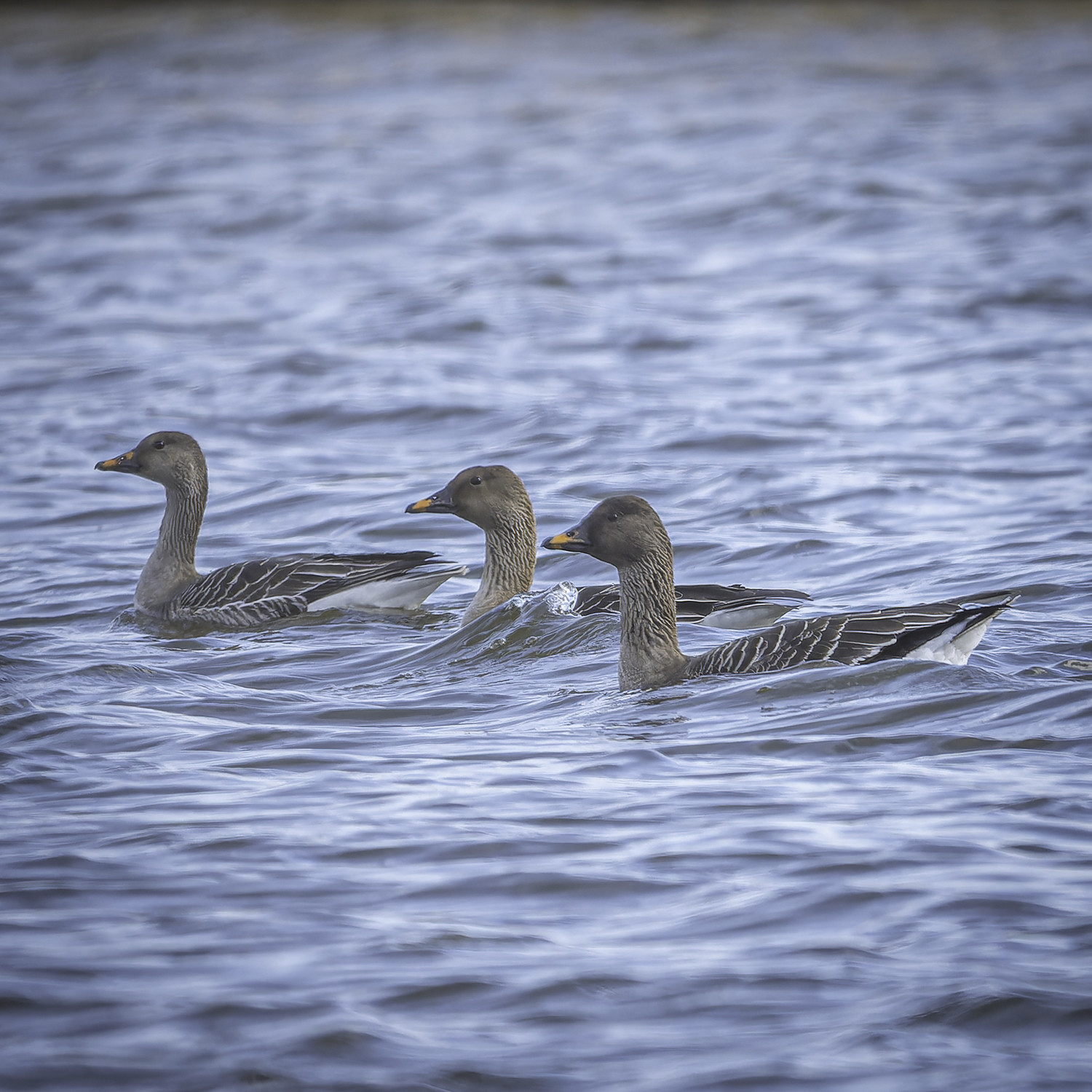
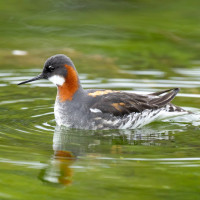
On the south side of this track are ponds and reedbeds, with typical species such as rörsångare, vassångare, gräshoppsångare, sävsångare, blåhake and skäggmes. This area is also viewable from the southern path that runs along the Mittelgraben.
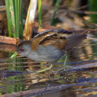
Rarer species such as mindre sumphöna and dvärgrördrom are possible to be spotted also. Please do not use audio recording luring devices, this is a protected area, which also means that one is not allowed to leave the tracks.
Detaljer
Tillgänglighet
The Salziger See area is best explored on foot, and with a suitable bicycle it is also possible. There are 3 different parking spots. Two on the smaller Große Seestraße that runs through the land north to south, and one just off the larger Highway 80 that runs east to west. Click P's on the map for directions.
Be careful on the north-south road between Aseleben and Röblingen, some people drive dangerously. The traffic here also produces a lot of noise which can be annoying when trying to hear certain species.
Public transport: It's very easy to access the area by train: regional trains and an S-Bahn train go through Röblingen am See station (starred on the map). From the train station it is only a 15 minute walk to the southern-most viewpoint marked on the map.
 ) Lägg till fågelnamen på ditt egna språk, namnen kommer automatiskt översättas till andra användare.