Beskrivning
The Weisendorfer Weiher, located in a quiet agricultural landscape, consist of several fish ponds bordered by reed beds, wet meadows, and scattered trees. The area is managed primarily for aquaculture but also serves as a habitat for a variety of bird species throughout the year. Its relatively undisturbed character and mosaic of wetland habitats make it suitable for breeding, feeding, and resting birds.
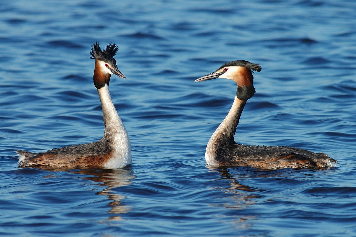
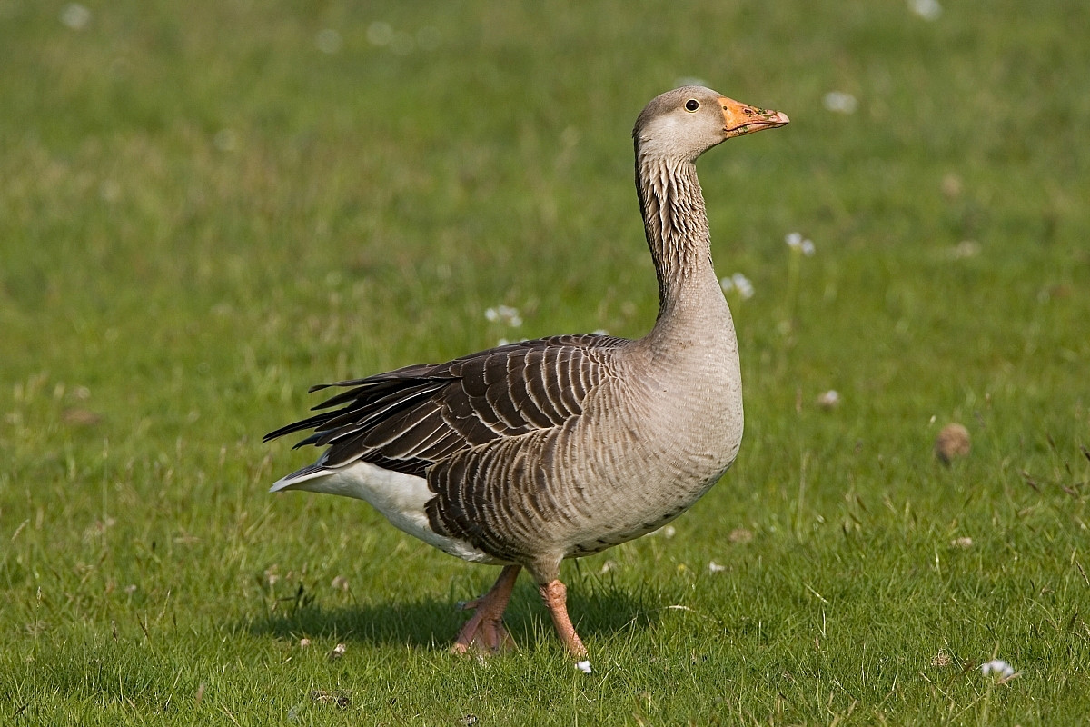
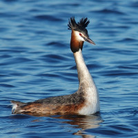
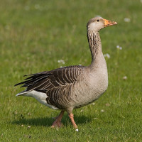
Common waterbirds such as gräsand, sothöna, and grågås are regularly seen, along with skäggdopping and gråhäger. In spring and autumn, the ponds attract migrating ducks and waders, while songbirds use the surrounding hedgerows and meadows. The reed beds provide cover for species like various warblers and rörhöna during the breeding season.
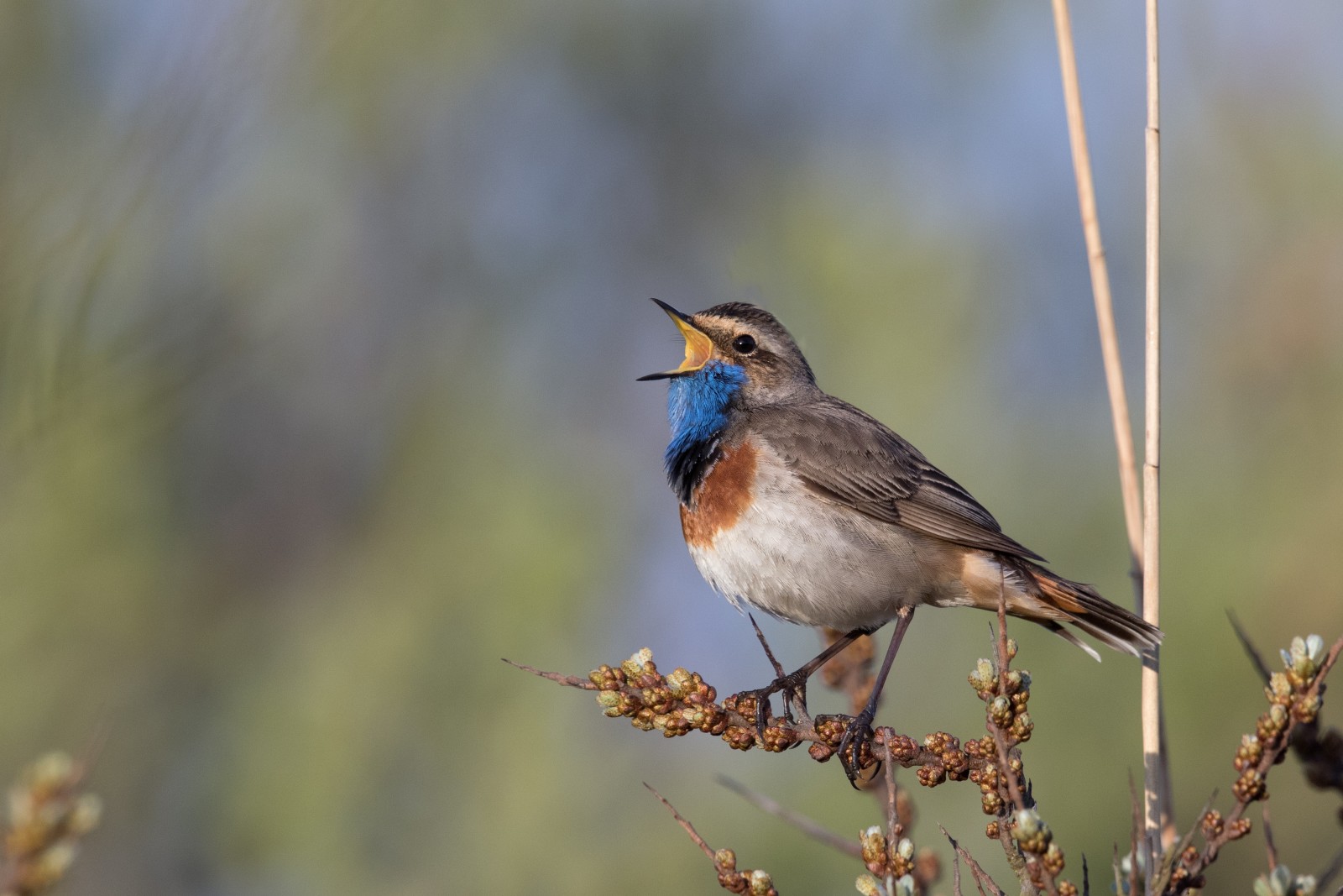
Though not a major hotspot, the Weisendorf ponds occasionally host rare or locally uncommon bird species. Sightings have included svart stork, Silkeshäger, and årta during migration periods. In some years, gråhakedopping or småfläckig sumphöna have been reported. The mix of habitats also makes it a potential site for species like the blåhake or brun kärrhök, though these are not regularly observed.
The site is appreciated for its peaceful setting and moderate bird diversity, offering opportunities for observation without heavy disturbance.
Detaljer
Tillgänglighet
The Weisendorfer Weiher are located directly north of the village of Weisendorf. The area is accessible by car or bicycle from nearby towns such as Neustadt an der Aisch or Diespeck. Parking is available in or near the village of Weisendorf. Press P on the map for directions to a parking.
From the parking, the ponds can be reached on foot via agricultural and forest tracks. There are no formal observation hides, but several paths offer good views of the water bodies and surrounding vegetation. The area is best explored quietly and respectfully, as it is actively used for fish farming. The circular walking route shown on the map is about 1,7 km.
 ) Lägg till fågelnamen på ditt egna språk, namnen kommer automatiskt översättas till andra användare.