
Beskrivning
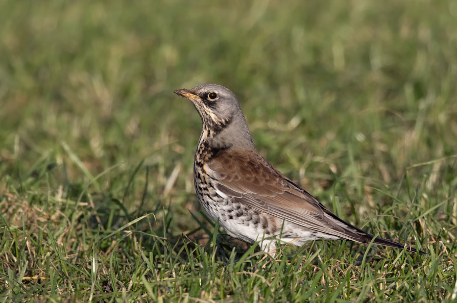
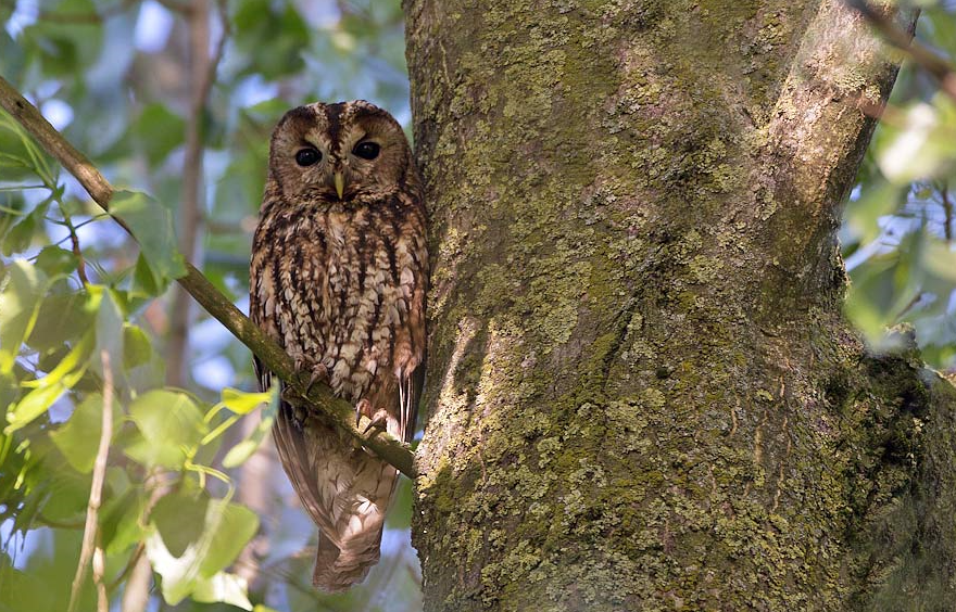
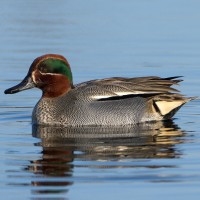
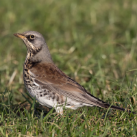
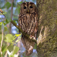
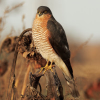
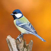
The Bosco della Panfilia is a typical and rare 81 hectare example of a humid lowland forest. Birds are the main fauna of the forest, both sedentary and migratory species. Among the nesting species are: blåmes, talgoxe, gärdsmyg, törnskata, sånglärka, Härfågel, sommargylling, gök, Gröngöling, större hackspett, göktyta and others. Linked to the humid environment there are cettisångare, trastsångare, grässångare, kungsfiskare, rörhöna, natthäger, gräsand, gråhäger, sothöna, dvärgrördrom, Kricka, ägretthäger and Silkeshäger. Among the birds of prey there are kattuggla, Tornuggla, minervauggla, hornuggla, ormvråk, tornfalk, sparvhök, Brun glada.
_________________________
Italiano: Il Bosco della Panfilia è un raro e tipico esempio di foresta planiziale di 81ha tra le province di Ferrara e Bologna, classificato come biotopo di rilevante interesse vegetazionale. Gli uccelli sono la fauna principale del bosco, sia specie stanziali che migratorie e nidificanti.
Detaljer
Tillgänglighet
Bosco della Panfilia can be visited all year round, but spring and autumn are best. The main entrance is along the road that runs alongside the Cavo Napoleonico, about 3 km from Sant'Agostino. Parking is near the main entrance. Press P on the map for directions. The circular walking route shown on the map is about 5 km.
_________________________
Italiano: Il bosco è visitabile in ogni stagione, ma è preferibile nei mesi primaverili e autunnali. L'entrata principale è lungo la strada che fiancheggia il Cavo Napoleonico, a circa 3km da Sant'Agostino. Il parcheggio è nei pressi dell'entrata principale. Premi P sulla mappa per le indicazioni stradali per raggiungere il parcheggio. Il percorso circolare mostrato sulla mappa è lungo circa 5 km.
 ) Lägg till fågelnamen på ditt egna språk, namnen kommer automatiskt översättas till andra användare.