Beskrivning
NOTE. This site shares part of the same location and passes under Drake's Trail Yelverton to Grenofen Tunnel (see separate entry), but has a different starting point.
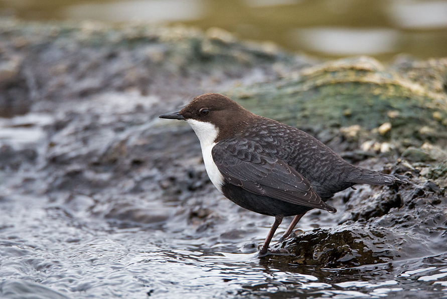
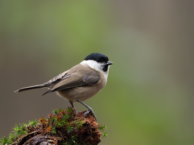
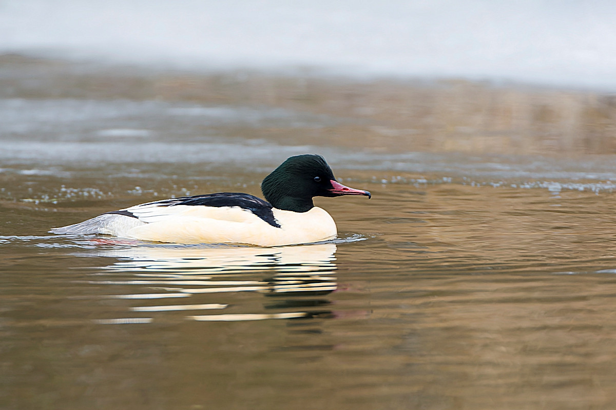
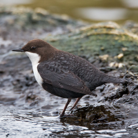
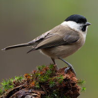
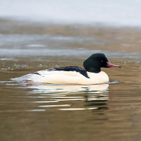
The River Walkham rises on Dartmoor and passes through Horrabridge, eventually joining the River Tavy further downstream, at Horrabridge it goes through woodland all the way to the River Tamar. Having very similar species as Drake's Trail you can also expect to add strömstare, storskrake, svarthakad buskskvätta, entita, törnsångare and forsärla. As well as following the river through woodland the return takes you past more open moorland/grassland with Gorse (Ulex) and woodland edges, the walk passes under both Gem Bridge and Magpie Bridge (press STARS on map).
Detaljer
Tillgänglighet
The A386 main road from Tavistock (to the North West) and Plymouth (to the South). From Plymouth leave Northwards on A386 signed Tavistock, at village of Yelverton get in Left hand lane and at roundabout take first exit signed Tavistock A386. Pass through village of Horrabridge, on passing Road Narrows - Oncoming Vehicles In Middle Of Road sign, turn Left into car park signed Drake's Trail. From Tavistock leave on A386 signed Plymouth, continue on A386, on passing Road Narrows - Oncoming Vehicles In Middle Of Road sign (wooded area), pass over narrow Bedford Bridge, turn first Right (unsigned from this direction) into Drake's Trail car park.
Terräng och habitat
Spridda träd och buskar , Skog , Slätt , Hed , Dal , Flod , Stad/byFörhållanden
Platt , Sumpigt , Halt , Öppet landskap , KlippigtRundtur
JaTubkikare behövs?
Kan vara användbartBästa säsong för skådning
Året runtBästa tid för ett besök
Vår , Höst , Höststräck , Vårsträck , SommarRutt
Asfalterad väg , Grusväg , Smal stig , Bred stigHur ansträngande vandring
Genomsnittlig vandringNås
Till fots , Cykel , BilFågeltorn / plattform
NejExtra information
The circular walk indicated on the map is about 4,5 km long.
 ) Lägg till fågelnamen på ditt egna språk, namnen kommer automatiskt översättas till andra användare.